Pico Blanco
山 · アメリカ合衆国
Pico Blanco is a peak on the coast of Big Sur in the Santa Lucia Range of the Los Padres National Forest. The Little Sur River and its tributaries almost surround the mountain.
出典: Wikipedia、CC BY-SA · 記事を読む
山頂 · 16:00 の予報
55 °F晴れ時々曇り · 北西の風 23 mph
 3D で見る
Pico Blancoの天気予報
- 16:0055 °F北西 23 mph–
- 19:0051 °F北 21 mph–
- 22:0051 °F北 20 mph–
- 1:0047 °F北東 16 mph–
- 4:0045 °F北東 14 mph–
- 7:0046 °F北東 10 mph–
- 10:0060 °F西 10 mph–
- 13:0064 °F西 9 mph–
| 日付 | 天気 | 最高 / 最低 | 雨 | 最大風速 |
|---|---|---|---|---|
| 10月28日(水) | 晴れ時々曇り | 64 °F / 45 °F | – | 17 mph |
| 10月29日(木) | 晴れ時々曇り | 62 °F / 52 °F | – | 13 mph |
| 10月30日(金) | 快晴 | 60 °F / 49 °F | 0.01 インチ | 9 mph |
| 10月31日(土) | 曇り | 58 °F / 48 °F | 0.01 インチ | 8 mph |
| 11月1日(日) | 快晴 | 62 °F / 45 °F | – | 11 mph |
| 11月2日(月) | 晴れ時々曇り | 66 °F / 47 °F | – | 4 mph |
| 11月3日(火) | 曇り | 71 °F / 60 °F | – | 4 mph |
MET Norway(CC BY 4.0)による予報。10:17 GMT-7 更新。時刻は現地時間です。
基本データ
- 種類
- 山
- 座標
- 36.319°N 121.812°W
Pico Blanco
Landform in Monterey County, California
Pico Blanco is a peak on the coast of Big Sur in the Santa Lucia Range of the Los Padres National Forest. The Little Sur River and its tributaries almost surround the mountain. The North Fork wraps around the northern flank and eastern edge of the mountain, and the South Fork crosses the mountain to the west and south-west. The mountain is known for an extremely high-grade limestone deposit.
出典: Wikipedia、CC BY-SA · 記事を読む
Pico Blanco周辺の山
- Ventana Double Cone4,856 ft · 9 km先地図上
- Junipero Serra Peak5,857 ft · 40 km先地図上
- Fremont Peak3,173 ft · 56 km先地図上
- Mount Toro山 · 29 km先地図上
- Cone Peak山 · 41 km先地図上
- North Chalone Peak山 · 57 km先地図上
アメリカ合衆国の高い山
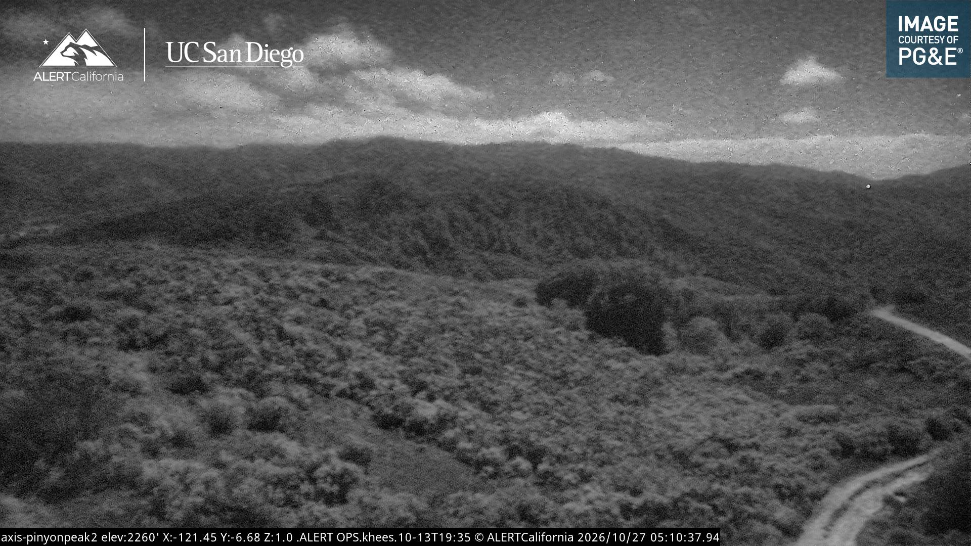
Pico Blanco周辺のライブカメラ
Pico Blanco周辺の歴史
- Colorado Fire2022
Pico Blanco周辺の町
- Carmel-by-the-Sea28 km先
- Del Rey Oaks30 km先
- モントレー32 km先
- シーサイド33 km先
- Sand City34 km先
- パシフィック・グローブ35 km先