Pico Blanco
山 · 美国
Pico Blanco is a peak on the coast of Big Sur in the Santa Lucia Range of the Los Padres National Forest. The Little Sur River and its tributaries almost surround the mountain.
来自Wikipedia,CC BY-SA · 阅读文章
山顶 · 7:00 的预报
47 °F雾 · 北风 21 英里/小时
 3D 查看
Pico Blanco天气预报
- 7:0047 °F北 21 英里/小时–
- 10:0055 °F北 21 英里/小时–
- 13:0058 °F西北 22 英里/小时–
- 16:0055 °F西北 23 英里/小时–
- 19:0051 °F北 22 英里/小时–
- 22:0050 °F北 20 英里/小时–
- 1:0048 °F东北 17 英里/小时–
- 4:0045 °F东北 14 英里/小时–
| 日期 | 天气 | 最高 / 最低 | 雨 | 最大风速 |
|---|---|---|---|---|
| 今天 | 多云 | 58 °F / 47 °F | – | 23 英里/小时 |
| 10月28日周三 | 多云 | 64 °F / 45 °F | – | 18 英里/小时 |
| 10月29日周四 | 少云 | 62 °F / 51 °F | – | 12 英里/小时 |
| 10月30日周五 | 晴 | 60 °F / 49 °F | 0.01 英寸 | 9 英里/小时 |
| 10月31日周六 | 阴 | 58 °F / 48 °F | 0.01 英寸 | 8 英里/小时 |
| 11月1日周日 | 晴 | 62 °F / 45 °F | – | 11 英里/小时 |
| 11月2日周一 | 多云 | 66 °F / 47 °F | – | 4 英里/小时 |
预报来自 MET Norway(CC BY 4.0),更新于 GMT-7 04:19。时间均为当地时间。
基本信息
Pico Blanco
Landform in Monterey County, California
Pico Blanco is a peak on the coast of Big Sur in the Santa Lucia Range of the Los Padres National Forest. The Little Sur River and its tributaries almost surround the mountain. The North Fork wraps around the northern flank and eastern edge of the mountain, and the South Fork crosses the mountain to the west and south-west. The mountain is known for an extremely high-grade limestone deposit.
来自Wikipedia,CC BY-SA · 阅读文章
Pico Blanco附近的山峰
- Ventana Double Cone4,856 英尺 · 9 公里外地图上
- Junipero Serra Peak5,857 英尺 · 40 公里外地图上
- Fremont Peak3,173 英尺 · 56 公里外地图上
- Mount Toro山 · 29 公里外地图上
- Cone Peak山 · 41 公里外地图上
- North Chalone Peak山 · 57 公里外地图上
美国最高的山
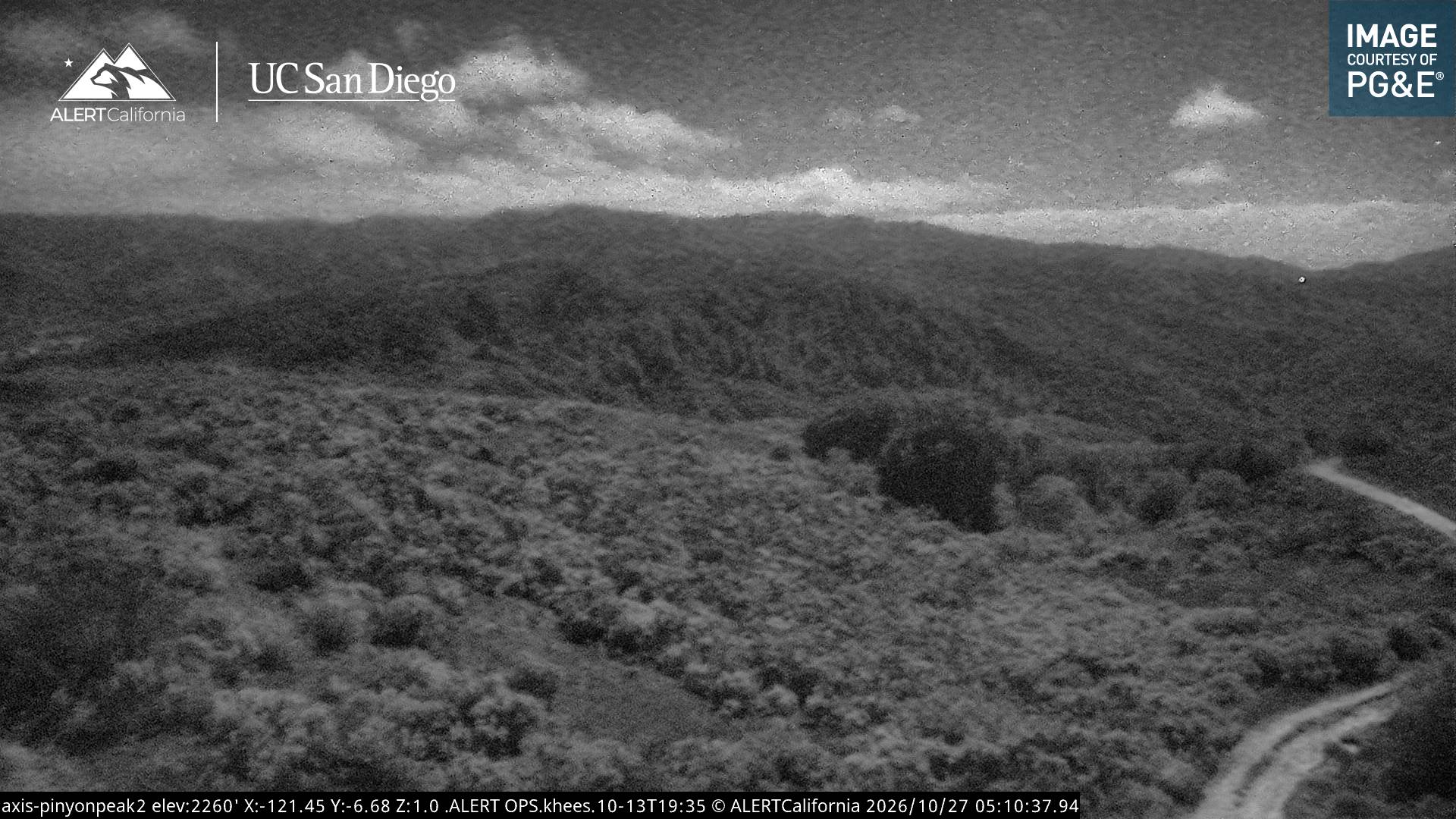
Pico Blanco附近的网络摄像头
Pico Blanco周边的历史
- Colorado Fire2022
Pico Blanco附近的城镇
- Carmel-by-the-Sea28 公里外
- Del Rey Oaks30 公里外
- 蒙特雷32 公里外
- 海滨33 公里外
- Sand City34 公里外
- 帕西菲克格罗夫35 公里外