Auersberg
757 m2483 ft
Montaña · Auersberg Kuppen Rhön · Alemania
The Auersberg is a mountain, 757 m above sea level (NN), in the Rhön, that rises immediately north of Hilders, eastern Hesse. East of the wooded peak lies Simmershausen, a village in the municipality of Hilders, and to the north is Lahrbach, in the municipality of Tann (Rhön).
De Wikipedia, CC BY-SA · Leer el artículo
El punto más alto de Auersberg Kuppen Rhön
En la cumbre · pronóstico para las 15:00
9 °CParcialmente nublado · viento de 14 km/h del NO
 Verla en 3D
Clima en la cumbre de Auersberg, 757 m
- 15:009 °CNO 14 km/h–
- 18:006 °CO 7 km/h–
- 21:004 °CO 6 km/h–
- 0:003 °CSO 4 km/h–
- 3:003 °CS 4 km/h–
- 6:003 °CS 2 km/h–
- 9:006 °CO 3 km/h–
- 12:009 °CN 3 km/h–
| Día | Cielo | Máx. / mín. | Lluvia | Viento hasta |
|---|---|---|---|---|
| jue, 29 oct | Parcialmente nublado | 10 °C / 3 °C | – | 9 km/h |
| vie, 30 oct | Nublado | 8 °C / 3 °C | – | 13 km/h |
| sáb, 31 oct | Nublado | 6 °C / 2 °C | 0,2 mm | 12 km/h |
| dom, 1 nov | Nublado | 4 °C / 1 °C | 0,2 mm | 14 km/h |
| lun, 2 nov | Nublado | 4 °C / -2 °C | – | 8 km/h |
| mar, 3 nov | Nublado | 5 °C / -1 °C | 0,1 mm | 16 km/h |
| mié, 4 nov | Mayormente despejado | 6 °C / 1 °C | – | 13 km/h |
Pronóstico de MET Norway (CC BY 4.0), actualizado a las 12:19 CET. Horas locales.
Ficha técnica
- Tipo
- Montaña
- Altitud sobre el nivel del mar
- 757 m (2483 ft)
- Prominencia
- 132 m (433 ft)
- Aislamiento
- a 9,9 km de un terreno más alto
- Cordillera
- Auersberg Kuppen Rhön
- País
- Alemania
- Punto más alto de
- Auersberg Kuppen Rhön
- Coordenadas
- 50.597°N 10.009°E
- Fuente
- Wikidata, CC0
Auersberg (Hilders)
Mountain near Hilders, Hesse, Germany
The Auersberg is a mountain, 757 m above sea level (NN), in the Rhön, that rises immediately north of Hilders, eastern Hesse. East of the wooded peak lies Simmershausen, a village in the municipality of Hilders, and to the north is Lahrbach, in the municipality of Tann (Rhön). On the southwestern slopes of the mountain are the ruins of Auersburg Castle.
De Wikipedia, CC BY-SA · Leer el artículo
Picos cerca de Auersberg
- Ellenbogen813 m · a 5,9 kmEn el mapa
- Milseburg835 m · a 9,8 kmEn el mapa
- Maulkuppe706 m · a 12 kmEn el mapa
- Wasserkuppe950 m · a 12 kmEn el mapa
- Rother Kuppe711 m · a 14 kmEn el mapa
- Feldberg815 m · a 15 kmEn el mapa
- Heidelstein926 m · a 15 kmEn el mapa
- Gangolfsberg736 m · a 16 kmEn el mapa
- Gebaberg751 m · a 18 kmEn el mapa
- Himmeldunkberg888 m · a 20 kmEn el mapa
Los más altos de Auersberg Kuppen Rhön
- Auersberg757 mEn el mapa
- Waltersberg674 mEn el mapa
- Stellberg662 mEn el mapa
- Schorn559 mEn el mapa
- Höhn511 mEn el mapa
Montañas más altas de Alemania
- Zugspitze2962 mEn el mapa
- Hochwanner2744 mEn el mapa
- Dreitorspitze2682 mEn el mapa
- Hochkalter2607 mEn el mapa
- Biberkopf2599 mEn el mapa
- Großer Hundstod2594 mEn el mapa
- Hochvogel2592 mEn el mapa
- Östliche Karwendelspitze2538 mEn el mapa
- Hocheisspitze2523 mEn el mapa
- Hoher Göll2522 mEn el mapa
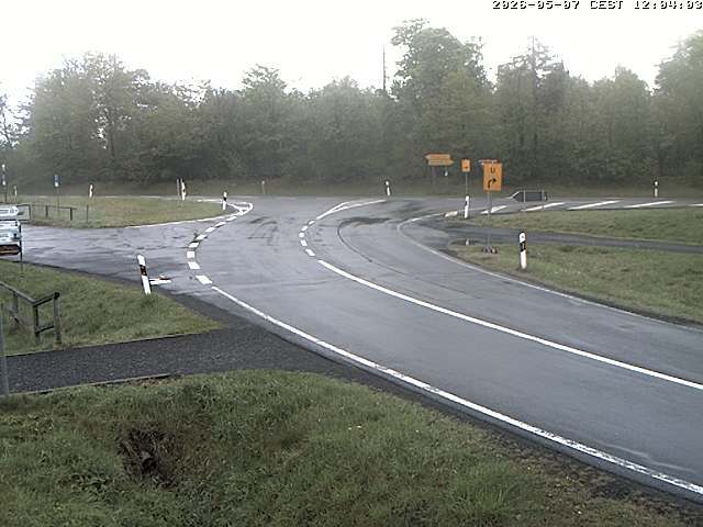
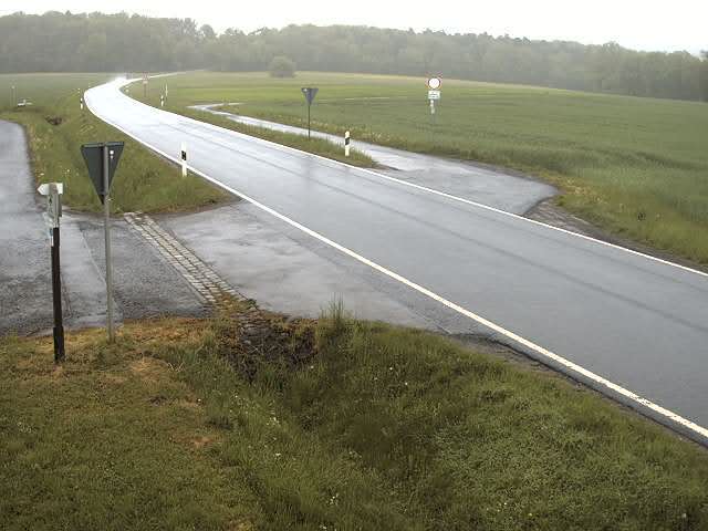
Cámaras web cerca de Auersberg


Historia alrededor de Auersberg
Ciudades cerca de Auersberg
- Hünfelda 19 km
- Petersberga 21 km
- Künzella 21 km
- Fuldaa 24 km
- Meiningena 29 km
- Bad Salzungena 29 km