Auersberg
757 米2,483 英尺
山 · Auersberg Kuppen Rhön · 德国
The Auersberg is a mountain, 757 m above sea level (NN), in the Rhön, that rises immediately north of Hilders, eastern Hesse. East of the wooded peak lies Simmershausen, a village in the municipality of Hilders, and to the north is Lahrbach, in the municipality of Tann (Rhön).
来自Wikipedia,CC BY-SA · 阅读文章
Auersberg Kuppen Rhön的最高点
山顶 · 13:00 的预报
9 °C多云 · 西北风 14 km/h
 3D 查看
Auersberg山顶天气,757 米
- 13:009 °C西北 14 km/h–
- 16:009 °C西北 11 km/h–
- 19:005 °C西 8 km/h–
- 22:003 °C西南 4 km/h–
- 1:003 °C西南 4 km/h–
- 4:003 °C南 4 km/h–
- 7:003 °C南 2 km/h–
- 10:008 °C北 2 km/h–
| 日期 | 天气 | 最高 / 最低 | 雨 | 最大风速 |
|---|---|---|---|---|
| 10月29日周四 | 多云 | 10 °C / 3 °C | – | 9 km/h |
| 10月30日周五 | 阴 | 8 °C / 3 °C | – | 13 km/h |
| 10月31日周六 | 阴 | 7 °C / 2 °C | – | 9 km/h |
| 11月1日周日 | 阴 | 6 °C / 2 °C | 0.5 mm | 9 km/h |
| 11月2日周一 | 阴 | 6 °C / 4 °C | 2.6 mm | 18 km/h |
| 11月3日周二 | 多云 | 5 °C / 0 °C | 0.3 mm | 10 km/h |
| 11月4日周三 | 阴 | 6 °C / 3 °C | 0.4 mm | 10 km/h |
预报来自 MET Norway(CC BY 4.0),更新于 GMT+1 09:20。时间均为当地时间。
基本信息
Auersberg (Hilders)
Mountain near Hilders, Hesse, Germany
The Auersberg is a mountain, 757 m above sea level (NN), in the Rhön, that rises immediately north of Hilders, eastern Hesse. East of the wooded peak lies Simmershausen, a village in the municipality of Hilders, and to the north is Lahrbach, in the municipality of Tann (Rhön). On the southwestern slopes of the mountain are the ruins of Auersburg Castle.
来自Wikipedia,CC BY-SA · 阅读文章
Auersberg附近的山峰
- Ellenbogen813 米 · 5.9 公里外地图上
- Milseburg835 米 · 9.8 公里外地图上
- Maulkuppe706 米 · 12 公里外地图上
- Wasserkuppe950 米 · 12 公里外地图上
- Rother Kuppe711 米 · 14 公里外地图上
- Feldberg815 米 · 15 公里外地图上
- Heidelstein926 米 · 15 公里外地图上
- Gangolfsberg736 米 · 16 公里外地图上
- Gebaberg751 米 · 18 公里外地图上
- Himmeldunkberg888 米 · 20 公里外地图上
Auersberg Kuppen Rhön最高峰
德国最高的山
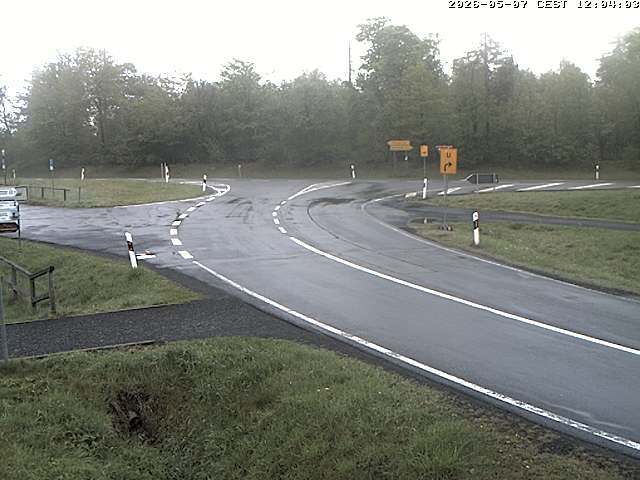
Auersberg附近的网络摄像头



Auersberg周边的历史
Auersberg附近的城镇
- Hünfeld19 公里外
- Petersberg21 公里外
- Künzell21 公里外
- Fulda24 公里外
- Meiningen29 公里外
- Bad Salzungen29 公里外