Mustang Peak
Montaña · Estados Unidos
Mustang Peak is a summit in the Diablo Range on the northwest - southeast trending range of mountains marking the boundary of Monterey County and Fresno County, California. This summit rises to an elevation of 3,596 feet.
De Wikipedia, CC BY-SA · Leer el artículo
En la cumbre · pronóstico para las 2:00
49 °FMayormente despejado · viento de 2 mph del SE
Pronóstico del tiempo en Mustang Peak
- 2:0049 °FSE 2 mph–
- 5:0047 °FNO 3 mph–
- 8:0047 °FE 2 mph–
- 11:0057 °FNE 4 mph–
- 14:0063 °FNE 6 mph–
- 17:0061 °FNE 8 mph–
- 20:0054 °FE 4 mph–
- 23:0051 °FO 4 mph–
| Día | Cielo | Máx. / mín. | Lluvia | Viento hasta |
|---|---|---|---|---|
| Hoy | Parcialmente nublado | 63 °F / 46 °F | – | 8 mph |
| jue, 29 oct | Nublado | 65 °F / 49 °F | – | 7 mph |
| vie, 30 oct | Lluvia | 61 °F / 49 °F | 0,11 pulg. | 6 mph |
| sáb, 31 oct | Nublado | 59 °F / 48 °F | 0 pulg. | 5 mph |
| dom, 1 nov | Despejado | 57 °F / 47 °F | – | 10 mph |
| lun, 2 nov | Mayormente despejado | 63 °F / 46 °F | – | 4 mph |
| mar, 3 nov | Despejado | 68 °F / 49 °F | – | 4 mph |
Pronóstico de MET Norway (CC BY 4.0), actualizado a las 22:21 GMT-7. Horas locales.
Ficha técnica
- Tipo
- Montaña
- País
- Estados Unidos
- Coordenadas
- 35.975°N 120.413°W
- Fuente
- Wikidata, CC0
Mustang Peak (Monterey County, California)
Mountain in the American state of California
Mustang Peak is a summit in the Diablo Range on the northwest - southeast trending range of mountains marking the boundary of Monterey County and Fresno County, California. This summit rises to an elevation of 3,596 feet. It overlooks the Kreyenhagen Hills and Kettleman Plain beyond it to the east, and the Jacalitos Hills and Pleasant Valley beyond it to the north.
De Wikipedia, CC BY-SA · Leer el artículo
Picos cerca de Mustang Peak
- Black Mountain4345 ft · a 9,2 kmEn el mapa
- Table Mountain3476 ft · a 15 kmEn el mapa
- Zwang Peak3081 ft · a 15 kmEn el mapa
- Santa Rita peak5165 ft · a 45 kmEn el mapa
- San Benito Mountain5267 ft · a 49 kmEn el mapa
- Tent HillsColina · a 28 kmEn el mapa
- Black MountainMontaña · a 37 kmEn el mapa
- Joaquin RidgeColina · a 42 kmEn el mapa
- Tierra Redonda MountainMontaña · a 56 kmEn el mapa
Montañas más altas de Estados Unidos
- Denali20.308 ftEn el mapa
- Monte San Elías18.009 ftEn el mapa
- Monte Foraker17.402 ftEn el mapa
- Monte Bona16.535 ftEn el mapa
- Monte Blackburn16.390 ftEn el mapa
- Monte Sanford16.237 ftEn el mapa
- Monte Vancouver15.787 ftEn el mapa
- Monte Churchill15.636 ftEn el mapa
- Monte Fairweather15.325 ftEn el mapa
- Mount Hubbard14.951 ftEn el mapa
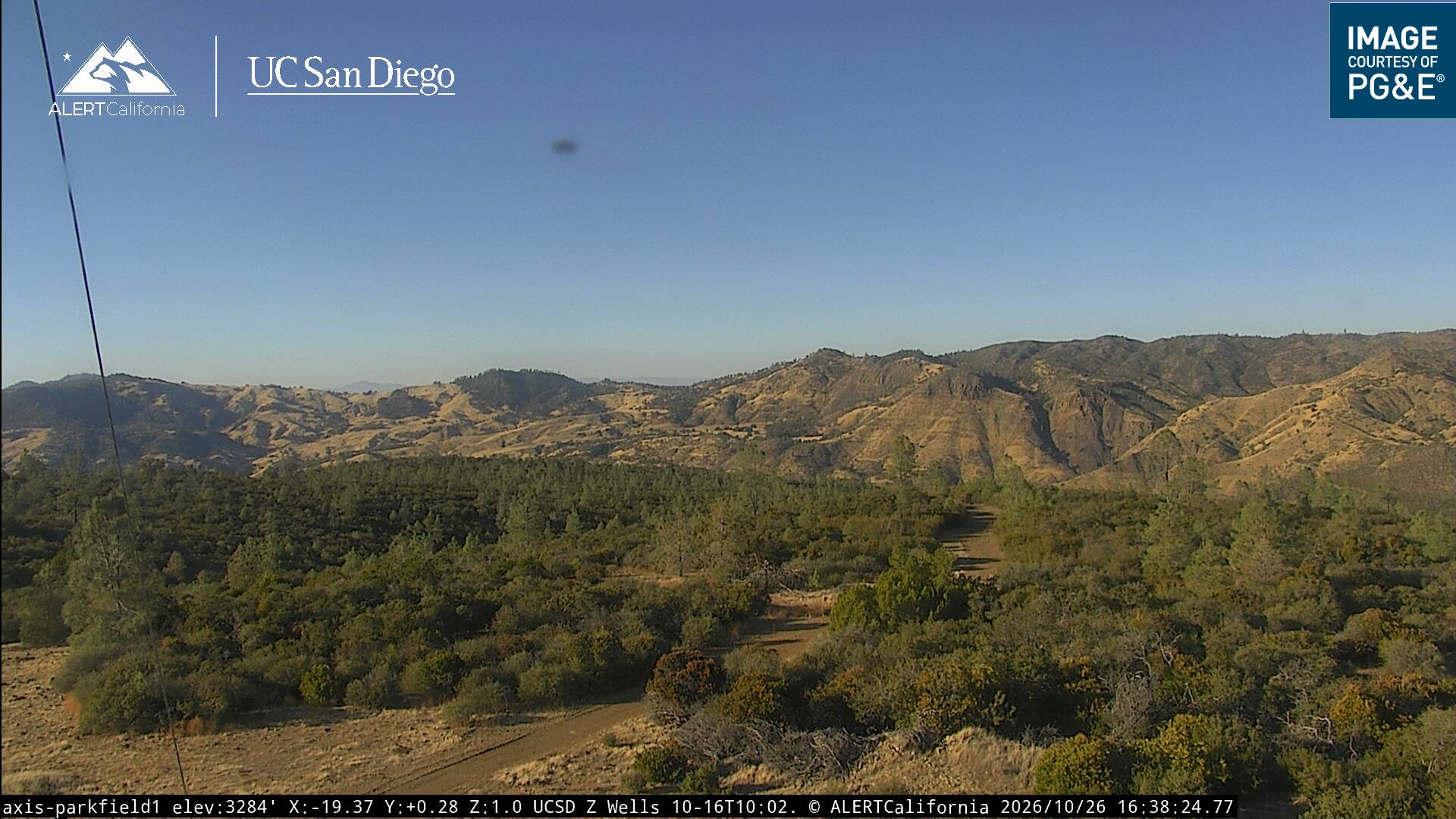
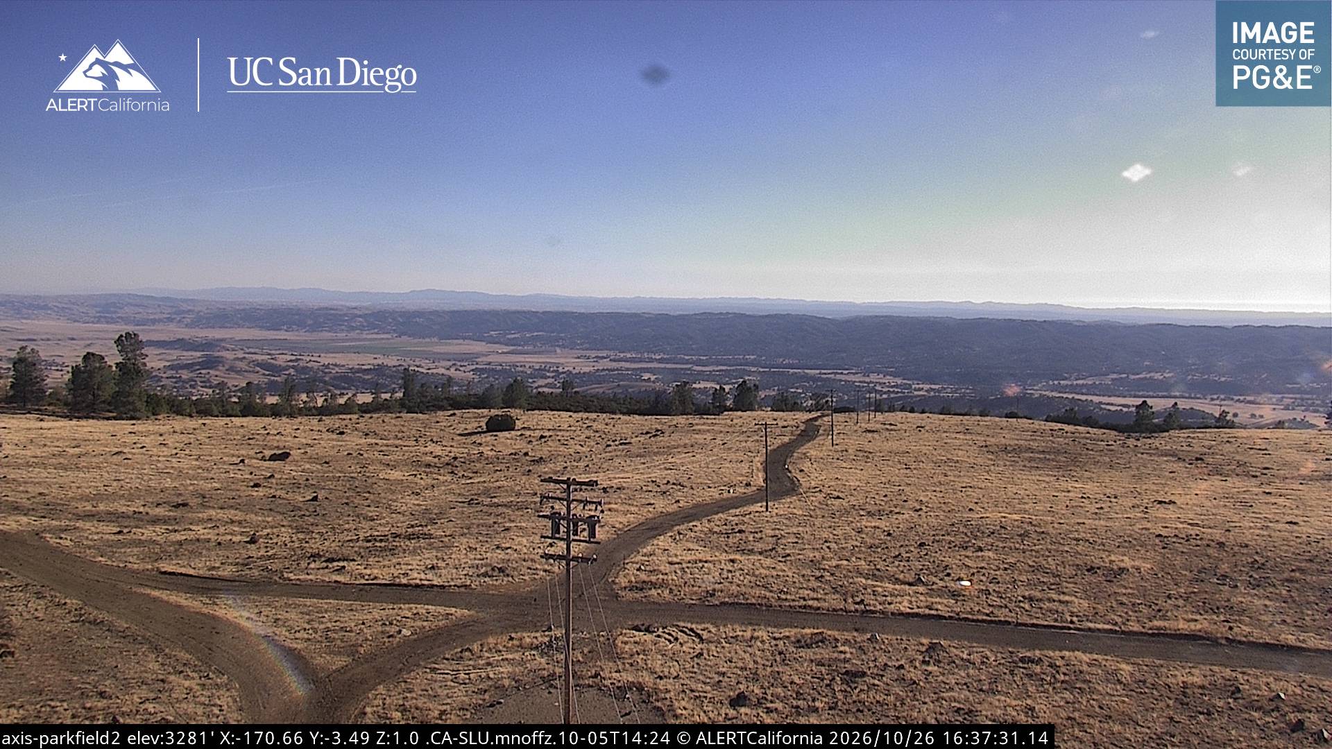
Cámaras web cerca de Mustang Peak
Historia alrededor de Mustang Peak
- Mineral Fire2020
Ciudades cerca de Mustang Peak
- Coalingaa 19 km
- Avenala 27 km
- El Paso de Roblesa 46 km
- Atascaderoa 59 km
- Lemoorea 67 km
- King Citya 70 km