Mustang Peak
山 · 美国
Mustang Peak is a summit in the Diablo Range on the northwest - southeast trending range of mountains marking the boundary of Monterey County and Fresno County, California. This summit rises to an elevation of 3,596 feet.
来自Wikipedia,CC BY-SA · 阅读文章
山顶 · 4:00 的预报
48 °F晴 · 东北风 2 英里/小时
Mustang Peak天气预报
- 4:0048 °F东北 2 英里/小时–
- 7:0046 °F东北 2 英里/小时–
- 10:0055 °F东北 4 英里/小时–
- 13:0061 °F东北 7 英里/小时–
- 16:0062 °F东北 8 英里/小时–
- 19:0055 °F东北 4 英里/小时–
- 22:0052 °F北 4 英里/小时–
- 1:0049 °F西南 3 英里/小时–
| 日期 | 天气 | 最高 / 最低 | 雨 | 最大风速 |
|---|---|---|---|---|
| 今天 | 少云 | 63 °F / 46 °F | – | 8 英里/小时 |
| 10月29日周四 | 阴 | 67 °F / 48 °F | – | 9 英里/小时 |
| 10月30日周五 | 少云 | 64 °F / 49 °F | 0.03 英寸 | 8 英里/小时 |
| 10月31日周六 | 阴 | 59 °F / 48 °F | 0 英寸 | 5 英里/小时 |
| 11月1日周日 | 晴 | 57 °F / 47 °F | – | 10 英里/小时 |
| 11月2日周一 | 少云 | 63 °F / 46 °F | – | 4 英里/小时 |
| 11月3日周二 | 晴 | 68 °F / 49 °F | – | 4 英里/小时 |
预报来自 MET Norway(CC BY 4.0),更新于 GMT-7 02:22。时间均为当地时间。
基本信息
Mustang Peak (Monterey County, California)
Mountain in the American state of California
Mustang Peak is a summit in the Diablo Range on the northwest - southeast trending range of mountains marking the boundary of Monterey County and Fresno County, California. This summit rises to an elevation of 3,596 feet. It overlooks the Kreyenhagen Hills and Kettleman Plain beyond it to the east, and the Jacalitos Hills and Pleasant Valley beyond it to the north.
来自Wikipedia,CC BY-SA · 阅读文章
Mustang Peak附近的山峰
- Black Mountain4,345 英尺 · 9.2 公里外地图上
- Table Mountain3,476 英尺 · 15 公里外地图上
- Zwang Peak3,081 英尺 · 15 公里外地图上
- Santa Rita peak5,165 英尺 · 45 公里外地图上
- San Benito Mountain5,267 英尺 · 49 公里外地图上
- Tent Hills丘陵 · 28 公里外地图上
- Black Mountain山 · 37 公里外地图上
- Joaquin Ridge丘陵 · 42 公里外地图上
- Tierra Redonda Mountain山 · 56 公里外地图上
美国最高的山
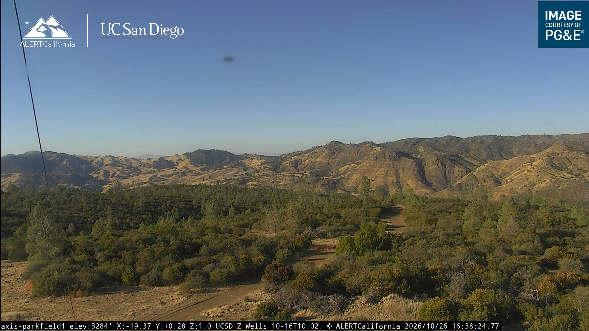
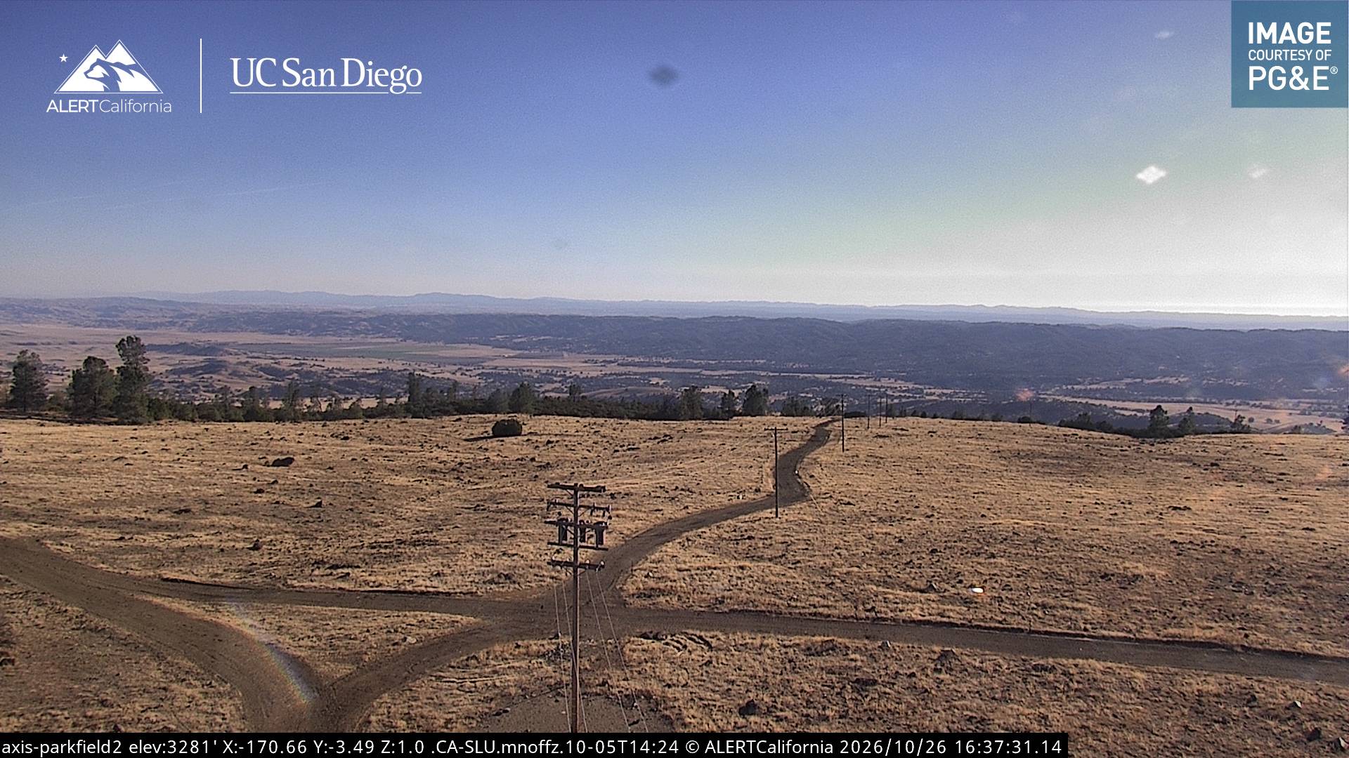
Mustang Peak附近的网络摄像头
Mustang Peak周边的历史
- Mineral Fire2020