Mustang Peak
山 · アメリカ合衆国
Mustang Peak is a summit in the Diablo Range on the northwest - southeast trending range of mountains marking the boundary of Monterey County and Fresno County, California. This summit rises to an elevation of 3,596 feet.
出典: Wikipedia、CC BY-SA · 記事を読む
山頂 · 0:00 の予報
51 °F晴れ時々曇り · 南東の風 3 mph
Mustang Peakの天気予報
- 0:0051 °F南東 3 mph–
- 3:0049 °F東 2 mph–
- 6:0046 °F北西 3 mph–
- 9:0053 °F東 4 mph–
- 12:0060 °F北東 5 mph–
- 15:0063 °F北東 7 mph–
- 18:0057 °F北東 4 mph–
- 21:0053 °F北東 4 mph–
| 日付 | 天気 | 最高 / 最低 | 雨 | 最大風速 |
|---|---|---|---|---|
| 今日 | 晴れ時々曇り | 63 °F / 46 °F | – | 8 mph |
| 10月29日(木) | 曇り | 65 °F / 49 °F | – | 7 mph |
| 10月30日(金) | 雨 | 61 °F / 49 °F | 0.11 インチ | 6 mph |
| 10月31日(土) | 曇り | 59 °F / 48 °F | 0 インチ | 5 mph |
| 11月1日(日) | 快晴 | 57 °F / 47 °F | – | 10 mph |
| 11月2日(月) | 晴れ | 63 °F / 46 °F | – | 4 mph |
| 11月3日(火) | 快晴 | 68 °F / 49 °F | – | 4 mph |
MET Norway(CC BY 4.0)による予報。18:17 GMT-7 更新。時刻は現地時間です。
基本データ
- 種類
- 山
- 座標
- 35.975°N 120.413°W
Mustang Peak (Monterey County, California)
Mountain in the American state of California
Mustang Peak is a summit in the Diablo Range on the northwest - southeast trending range of mountains marking the boundary of Monterey County and Fresno County, California. This summit rises to an elevation of 3,596 feet. It overlooks the Kreyenhagen Hills and Kettleman Plain beyond it to the east, and the Jacalitos Hills and Pleasant Valley beyond it to the north.
出典: Wikipedia、CC BY-SA · 記事を読む
Mustang Peak周辺の山
- ブラックマウンテン (フレズノ郡)4,345 ft · 9.2 km先地図上
- Table Mountain3,476 ft · 15 km先地図上
- Zwang Peak3,081 ft · 15 km先地図上
- Santa Rita peak5,165 ft · 45 km先地図上
- San Benito Mountain5,267 ft · 49 km先地図上
- Tent Hills丘 · 28 km先地図上
- Black Mountain山 · 37 km先地図上
- Joaquin Ridge丘 · 42 km先地図上
- Tierra Redonda Mountain山 · 56 km先地図上
アメリカ合衆国の高い山
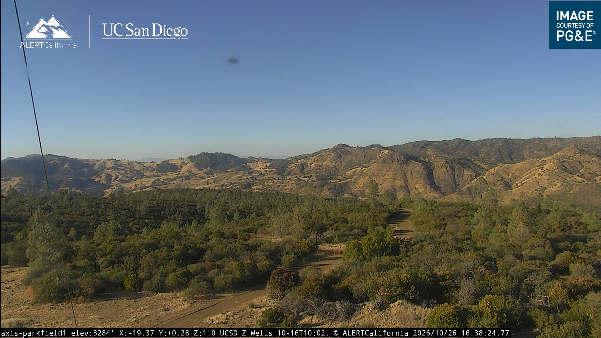
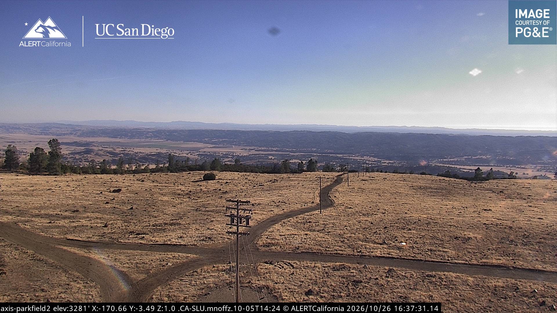
Mustang Peak周辺のライブカメラ
Mustang Peak周辺の歴史
- Mineral Fire2020
Mustang Peak周辺の町
- カリフォルニア州のコアリンガ19 km先
- Avenal27 km先
- パソロブレス46 km先
- Atascadero59 km先
- リムーア67 km先
- King City70 km先