Table Mountain
3,476 ft1,060 m
山 · ディアブロ山脈 · アメリカ合衆国
Table Mountain is a mountain ridge located in the Diablo Range in Northern California on the boundary between Kings and Monterey counties. It rises to an elevation of 3,476 feet (1,059 m) and is the highest point in Kings County. A large 500 kV power line, connected to Path 15, runs to the north of the summit.
出典: Wikipedia、CC BY-SA · 記事を読む
山頂 · 13:00 の予報
59 °F晴れ時々曇り · 北東の風 7 mph
Table Mountain 山頂の天気(3,476 ft)
- 13:0059 °F北東 7 mph–
- 16:0059 °F北東 8 mph–
- 19:0052 °F北東 4 mph–
- 22:0049 °F北 4 mph–
- 1:0047 °F北 2 mph–
- 4:0047 °F北 2 mph–
- 7:0047 °F北 1 mph–
- 10:0054 °F南東 2 mph–
| 日付 | 天気 | 最高 / 最低 | 雨 | 最大風速 |
|---|---|---|---|---|
| 10月29日(木) | 快晴 | 64 °F / 47 °F | – | 12 mph |
| 10月30日(金) | 晴れ | 61 °F / 47 °F | 0.01 インチ | 8 mph |
| 10月31日(土) | 雨 | 53 °F / 47 °F | 0.24 インチ | 5 mph |
| 11月1日(日) | 快晴 | 54 °F / 42 °F | 0.02 インチ | 9 mph |
| 11月2日(月) | 快晴 | 57 °F / 40 °F | – | 5 mph |
| 11月3日(火) | 晴れ時々曇り | 65 °F / 44 °F | – | 3 mph |
| 11月4日(水) | 曇り | 69 °F / 49 °F | – | 3 mph |
MET Norway(CC BY 4.0)による予報。12:19 GMT-7 更新。時刻は現地時間です。
基本データ
- 種類
- 山
- 標高
- 3,476 ft (1,060 m)
- プロミネンス
- 335 ft (102 m)
- 山脈
- ディアブロ山脈
- 座標
- 35.906°N 120.276°W
Table Mountain (Kings County, California)
Mountain in California
Table Mountain is a mountain ridge located in the Diablo Range in Northern California on the boundary between Kings and Monterey counties. It rises to an elevation of 3,476 feet (1,059 m) and is the highest point in Kings County. A large 500 kV power line, connected to Path 15, runs to the north of the summit. A little snow falls on the mountain during the winter.
出典: Wikipedia、CC BY-SA · 記事を読む
Table Mountain周辺の山
- Zwang Peak3,081 ft · 5.2 km先地図上
- ブラックマウンテン (フレズノ郡)4,345 ft · 5.5 km先地図上
- Santa Rita peak5,165 ft · 57 km先地図上
- Tent Hills丘 · 13 km先地図上
- Mustang Peak山 · 15 km先地図上
- Black Mountain山 · 46 km先地図上
- Joaquin Ridge丘 · 54 km先地図上
ディアブロ山脈の最高峰
- San Benito Mountain5,267 ft地図上
- Santa Rita peak5,165 ft地図上
- ハミルトン山 (カリフォルニア州)4,354 ft地図上
- ブラックマウンテン (フレズノ郡)4,345 ft地図上
- ブラックマウンテン (ミルピタス)3,955 ft地図上
- ディアブロ山3,806 ft地図上
- Laveaga Peak3,804 ft地図上
- ブラックマウンテン (サンベニト郡)3,758 ft地図上
- Table Mountain3,476 ft地図上
アメリカ合衆国の高い山
Table Mountain周辺のライブカメラ
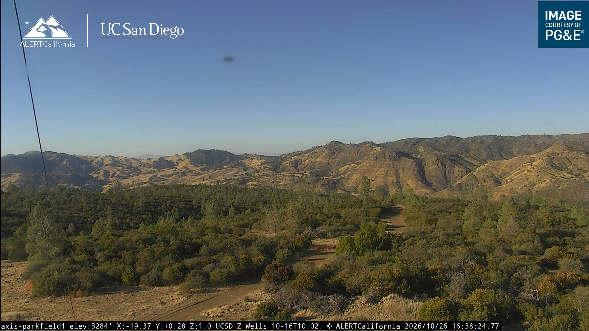
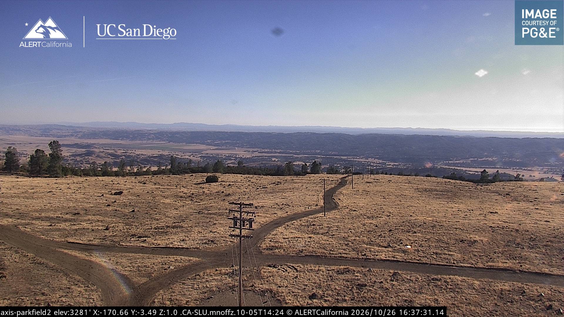
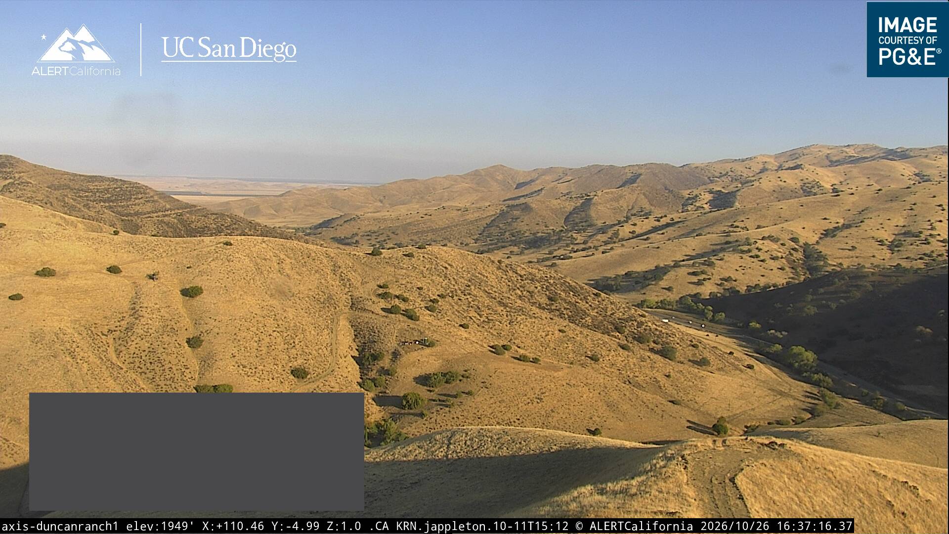
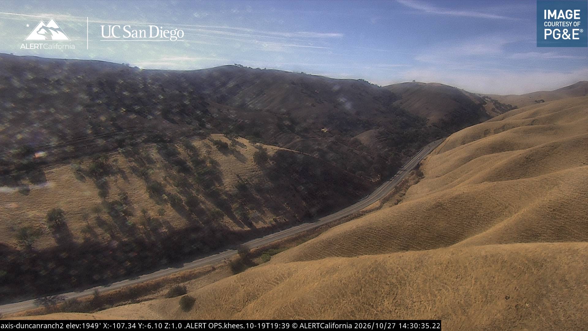
Table Mountain周辺の町
- Avenal20 km先
- カリフォルニア州のコアリンガ27 km先
- パソロブレス49 km先
- Atascadero58 km先
- リムーア62 km先
- コーコラン68 km先