Table Mountain
3476 ft1060 m
Montaña · Cordillera del Diablo · Estados Unidos
Table Mountain is a mountain ridge located in the Diablo Range in Northern California on the boundary between Kings and Monterey counties. It rises to an elevation of 3,476 feet (1,059 m) and is the highest point in Kings County. A large 500 kV power line, connected to Path 15, runs to the north of the summit.
De Wikipedia, CC BY-SA · Leer el artículo
En la cumbre · pronóstico para las 13:00
59 °FParcialmente nublado · viento de 7 mph del NE
Clima en la cumbre de Table Mountain, 3476 ft
- 13:0059 °FNE 7 mph–
- 16:0059 °FNE 8 mph–
- 19:0052 °FNE 4 mph–
- 22:0049 °FN 4 mph–
- 1:0047 °FN 2 mph–
- 4:0047 °FN 2 mph–
- 7:0047 °FN 1 mph–
- 10:0054 °FSE 2 mph–
| Día | Cielo | Máx. / mín. | Lluvia | Viento hasta |
|---|---|---|---|---|
| jue, 29 oct | Despejado | 64 °F / 47 °F | – | 12 mph |
| vie, 30 oct | Mayormente despejado | 61 °F / 47 °F | 0,01 pulg. | 8 mph |
| sáb, 31 oct | Lluvia | 53 °F / 47 °F | 0,24 pulg. | 5 mph |
| dom, 1 nov | Despejado | 54 °F / 42 °F | 0,02 pulg. | 9 mph |
| lun, 2 nov | Despejado | 57 °F / 40 °F | – | 5 mph |
| mar, 3 nov | Parcialmente nublado | 65 °F / 44 °F | – | 3 mph |
| mié, 4 nov | Nublado | 69 °F / 49 °F | – | 3 mph |
Pronóstico de MET Norway (CC BY 4.0), actualizado a las 12:19 GMT-7. Horas locales.
Ficha técnica
- Tipo
- Montaña
- Altitud sobre el nivel del mar
- 3476 ft (1060 m)
- Prominencia
- 335 ft (102 m)
- Cordillera
- Cordillera del Diablo
- País
- Estados Unidos
- Coordenadas
- 35.906°N 120.276°W
- Fuente
- Wikidata, CC0
Table Mountain (Kings County, California)
Mountain in California
Table Mountain is a mountain ridge located in the Diablo Range in Northern California on the boundary between Kings and Monterey counties. It rises to an elevation of 3,476 feet (1,059 m) and is the highest point in Kings County. A large 500 kV power line, connected to Path 15, runs to the north of the summit. A little snow falls on the mountain during the winter.
De Wikipedia, CC BY-SA · Leer el artículo
Picos cerca de Table Mountain
- Zwang Peak3081 ft · a 5,2 kmEn el mapa
- Black Mountain4345 ft · a 5,5 kmEn el mapa
- Santa Rita peak5165 ft · a 57 kmEn el mapa
- Tent HillsColina · a 13 kmEn el mapa
- Mustang PeakMontaña · a 15 kmEn el mapa
- Black MountainMontaña · a 46 kmEn el mapa
- Joaquin RidgeColina · a 54 kmEn el mapa
Los más altos de Cordillera del Diablo
- San Benito Mountain5267 ftEn el mapa
- Santa Rita peak5165 ftEn el mapa
- Mount Hamilton (California)4354 ftEn el mapa
- Black Mountain4345 ftEn el mapa
- Black Mountain3955 ftEn el mapa
- Mount Diablo3806 ftEn el mapa
- Laveaga Peak3804 ftEn el mapa
- Black Mountain3758 ftEn el mapa
- Table Mountain3476 ftEn el mapa
Montañas más altas de Estados Unidos
- Denali20.308 ftEn el mapa
- Monte San Elías18.009 ftEn el mapa
- Monte Foraker17.402 ftEn el mapa
- Monte Bona16.535 ftEn el mapa
- Monte Blackburn16.390 ftEn el mapa
- Monte Sanford16.237 ftEn el mapa
- Monte Vancouver15.787 ftEn el mapa
- Monte Churchill15.636 ftEn el mapa
- Monte Fairweather15.325 ftEn el mapa
- Mount Hubbard14.951 ftEn el mapa
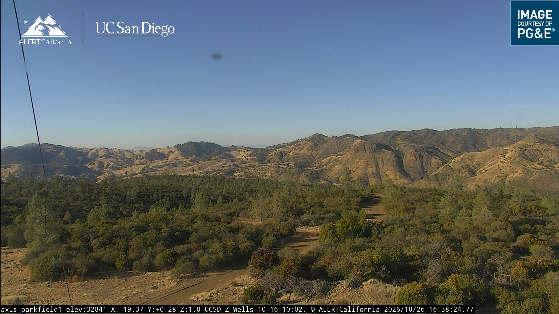
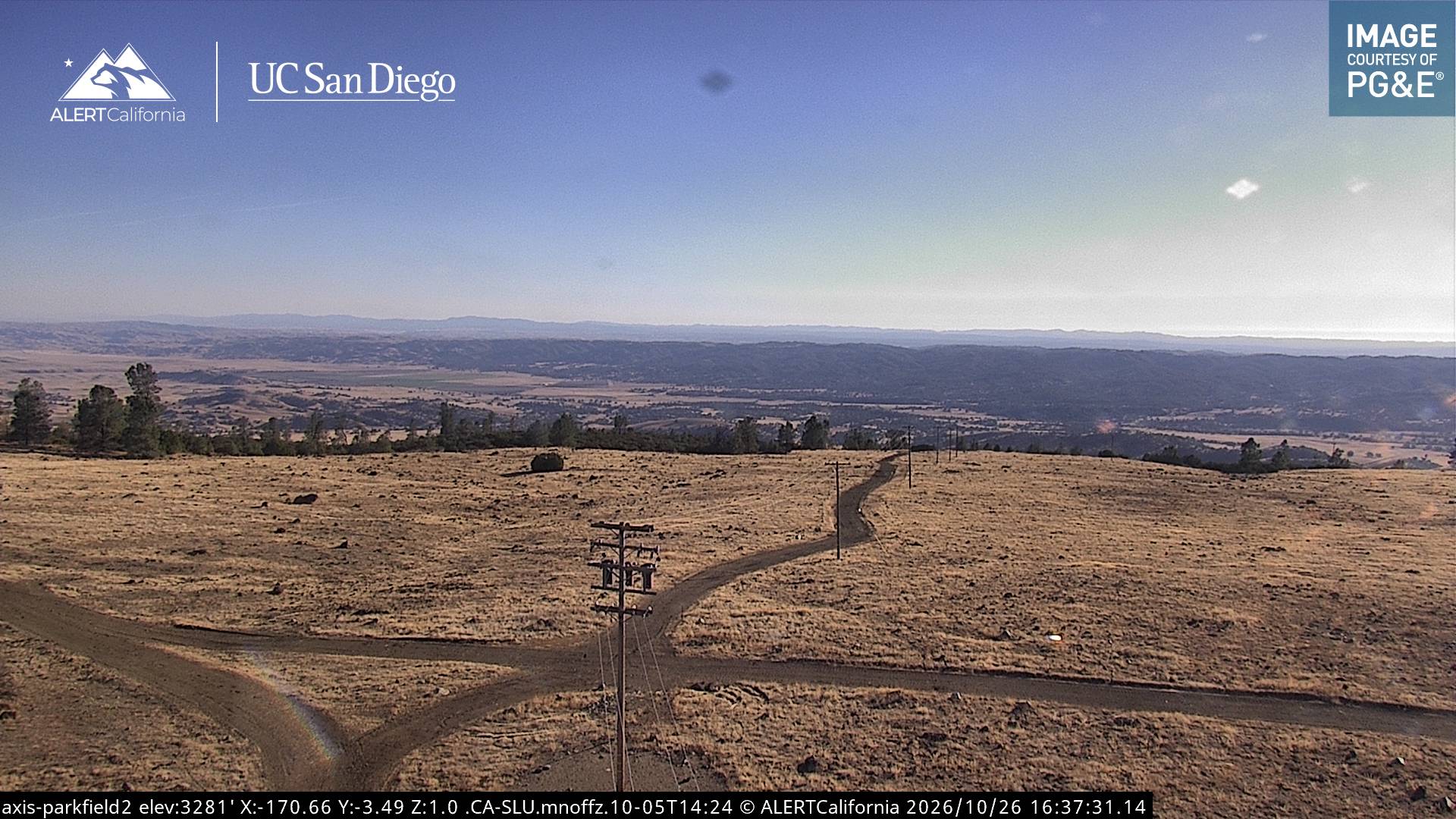
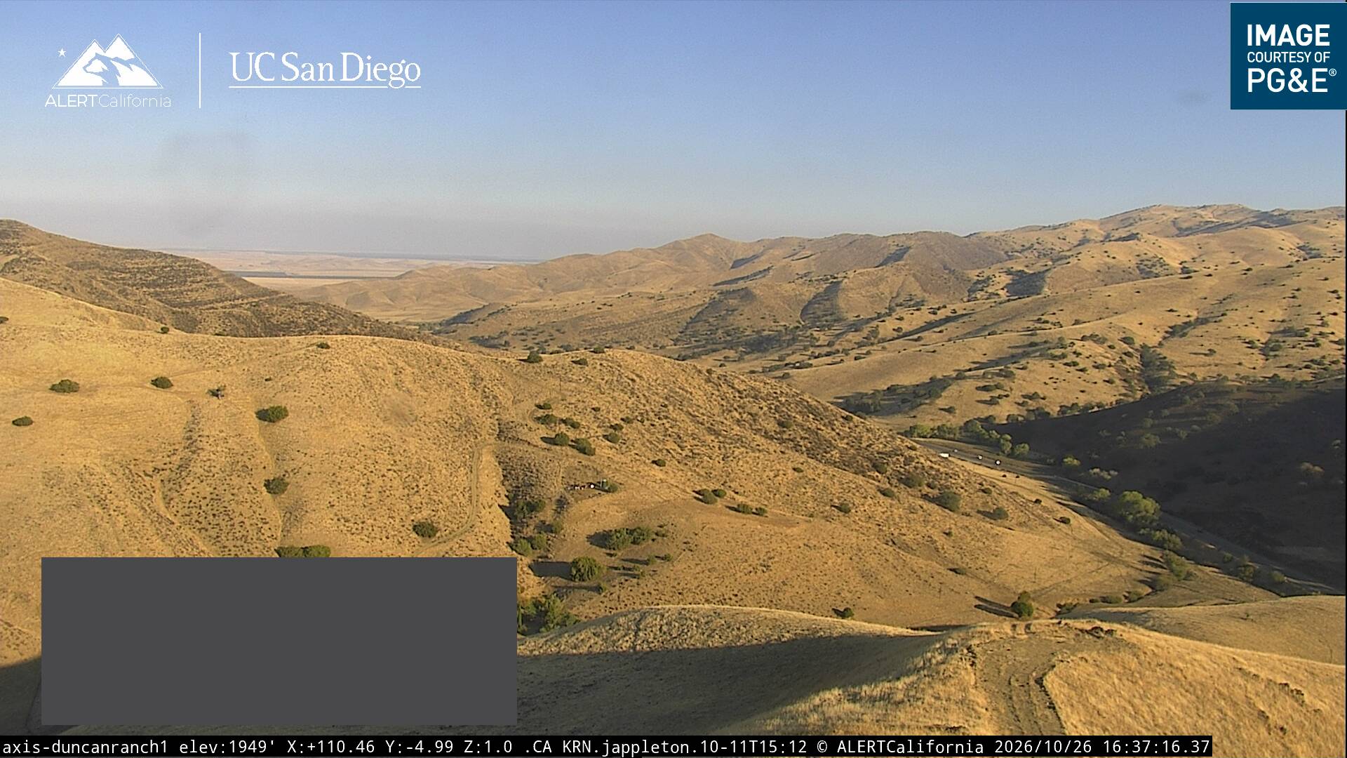
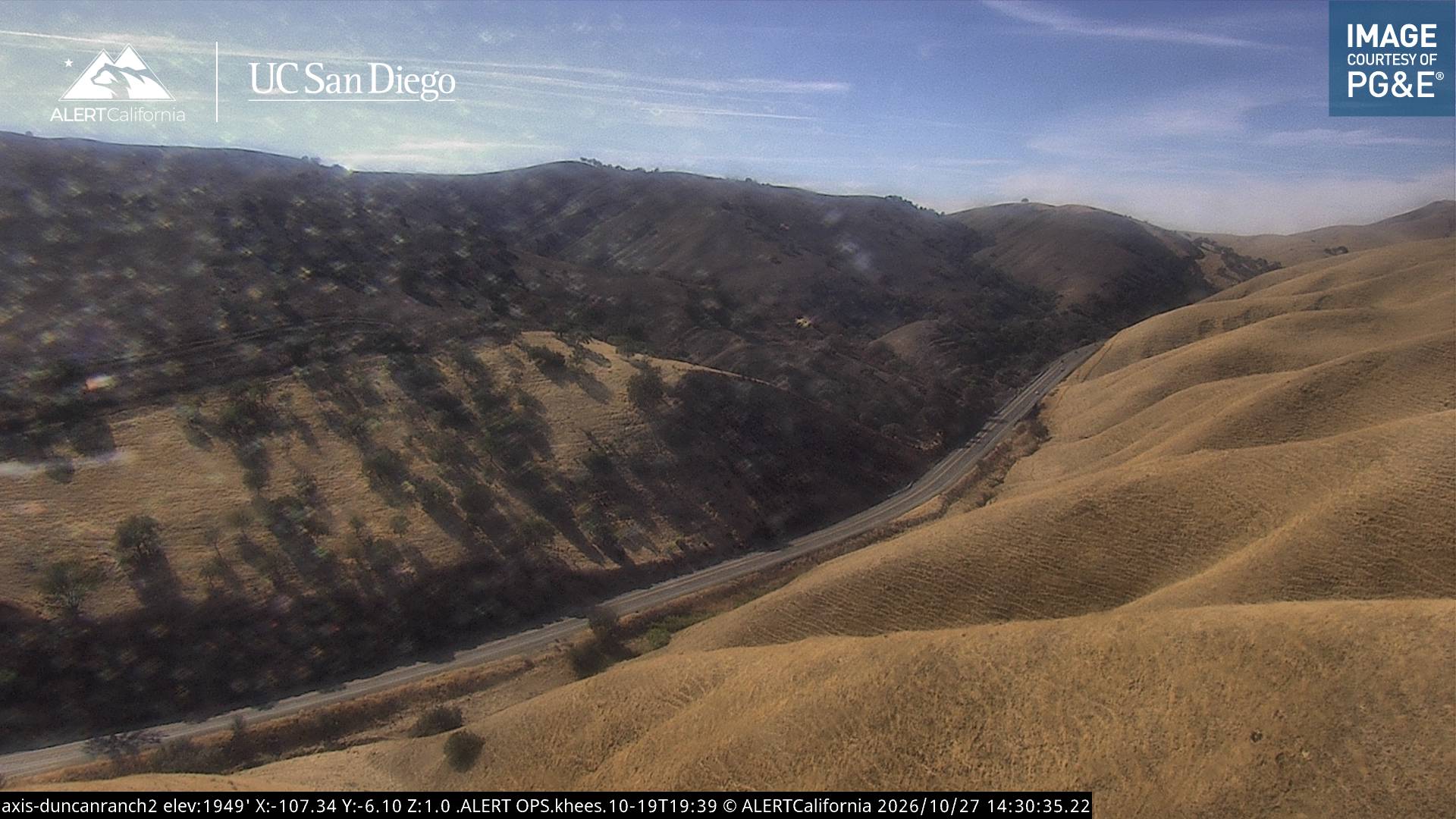
Cámaras web cerca de Table Mountain
Ciudades cerca de Table Mountain
- Avenala 20 km
- Coalingaa 27 km
- El Paso de Roblesa 49 km
- Atascaderoa 58 km
- Lemoorea 62 km
- Corcorana 68 km