Table Mountain
3,476 ft1,060 m
Mountain · Diablo Range · United States
Table Mountain is a mountain ridge located in the Diablo Range in Northern California on the boundary between Kings and Monterey counties. It rises to an elevation of 3,476 feet (1,059 m) and is the highest point in Kings County. A large 500 kV power line, connected to Path 15, runs to the north of the summit.
From Wikipedia, CC BY-SA · Read the article
At the summit · forecast for 5:00 AM
44 °FClear · wind 2 mph from the N
Weather at the summit of Table Mountain, 3,476 ft
- 5:00 AM44 °FN 2 mph–
- 8:00 AM45 °FN 2 mph–
- 11:00 AM56 °FNE 6 mph–
- 2:00 PM60 °FNE 7 mph–
- 5:00 PM59 °FNE 8 mph–
- 8:00 PM51 °FN 4 mph–
- 11:00 PM47 °FN 3 mph–
- 2:00 AM47 °FN 2 mph–
| Day | Sky | High / low | Rain | Wind up to |
|---|---|---|---|---|
| Today | Mostly clear | 60 °F / 43 °F | – | 8 mph |
| Thu, Oct 29 | Partly cloudy | 64 °F / 47 °F | – | 13 mph |
| Fri, Oct 30 | Partly cloudy | 62 °F / 47 °F | – | 9 mph |
| Sat, Oct 31 | Rain | 53 °F / 48 °F | 0.24 in | 4 mph |
| Sun, Nov 1 | Clear | 54 °F / 42 °F | 0.02 in | 9 mph |
| Mon, Nov 2 | Clear | 57 °F / 40 °F | – | 5 mph |
| Tue, Nov 3 | Partly cloudy | 65 °F / 44 °F | – | 3 mph |
Forecast by MET Norway (CC BY 4.0), updated 04:19 AM PDT. Times are local.
Facts
- What it is
- Mountain
- Height above sea level
- 3,476 ft (1,060 m)
- Prominence
- 335 ft (102 m)
- Range
- Diablo Range
- Country
- United States
- Coordinates
- 35.906°N 120.276°W
- Source
- Wikidata, CC0
Table Mountain (Kings County, California)
Mountain in California
Table Mountain is a mountain ridge located in the Diablo Range in Northern California on the boundary between Kings and Monterey counties. It rises to an elevation of 3,476 feet (1,059 m) and is the highest point in Kings County. A large 500 kV power line, connected to Path 15, runs to the north of the summit. A little snow falls on the mountain during the winter.
From Wikipedia, CC BY-SA · Read the article
Peaks near Table Mountain
- Zwang Peak3,081 ft · 5.2 km awayOn the map
- Black Mountain4,345 ft · 5.5 km awayOn the map
- Santa Rita peak5,165 ft · 57 km awayOn the map
- Tent HillsHill · 13 km awayOn the map
- Mustang PeakMountain · 15 km awayOn the map
- Black MountainMountain · 46 km awayOn the map
- Joaquin RidgeHill · 54 km awayOn the map
Highest in the Diablo Range
- San Benito Mountain5,267 ftOn the map
- Santa Rita peak5,165 ftOn the map
- Mount Hamilton4,354 ftOn the map
- Black Mountain4,345 ftOn the map
- Black Mountain3,955 ftOn the map
- Mount Diablo3,806 ftOn the map
- Laveaga Peak3,804 ftOn the map
- Black Mountain3,758 ftOn the map
- Table Mountain3,476 ftOn the map
Highest mountains in United States
- Denali20,308 ftOn the map
- Mount Saint Elias18,009 ftOn the map
- Mount Foraker17,402 ftOn the map
- Mount Bona16,535 ftOn the map
- Mount Blackburn16,390 ftOn the map
- Mount Sanford16,237 ftOn the map
- Mount Vancouver15,787 ftOn the map
- Mount Churchill15,636 ftOn the map
- Mount Fairweather15,325 ftOn the map
- Mount Hubbard14,951 ftOn the map
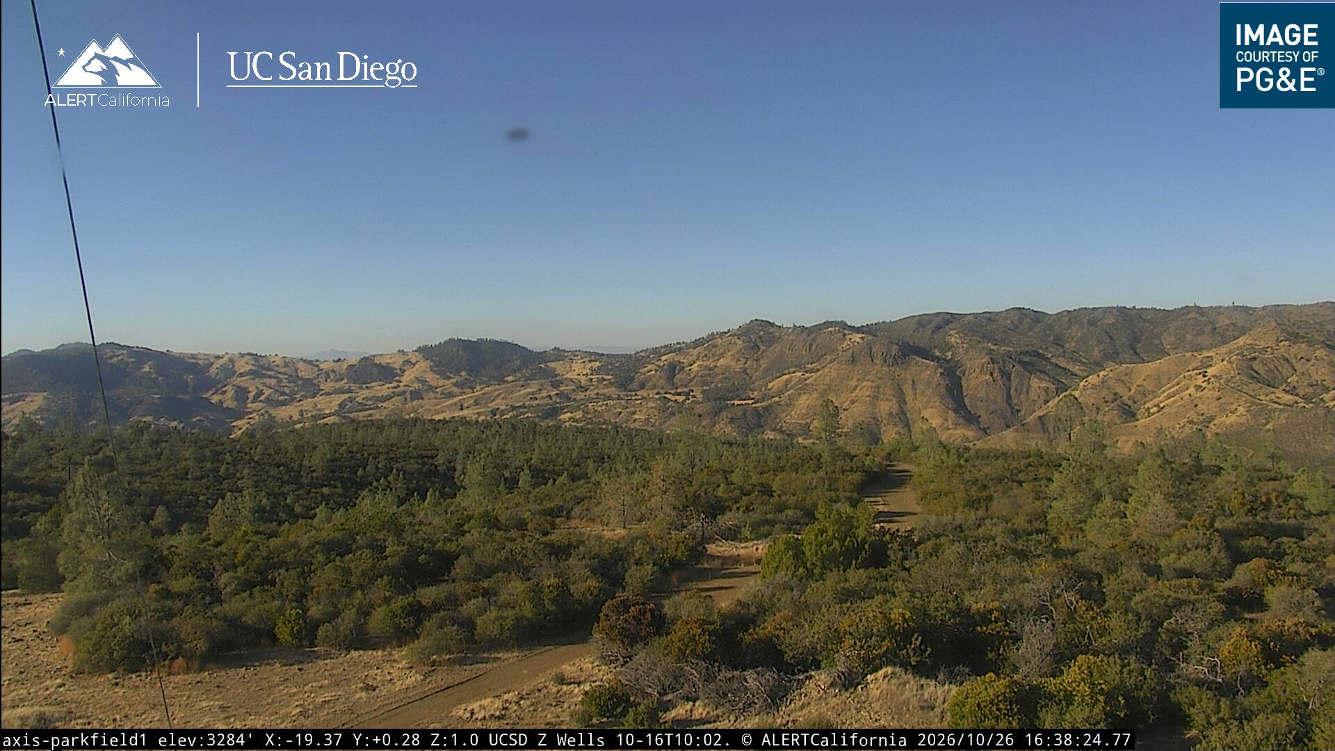
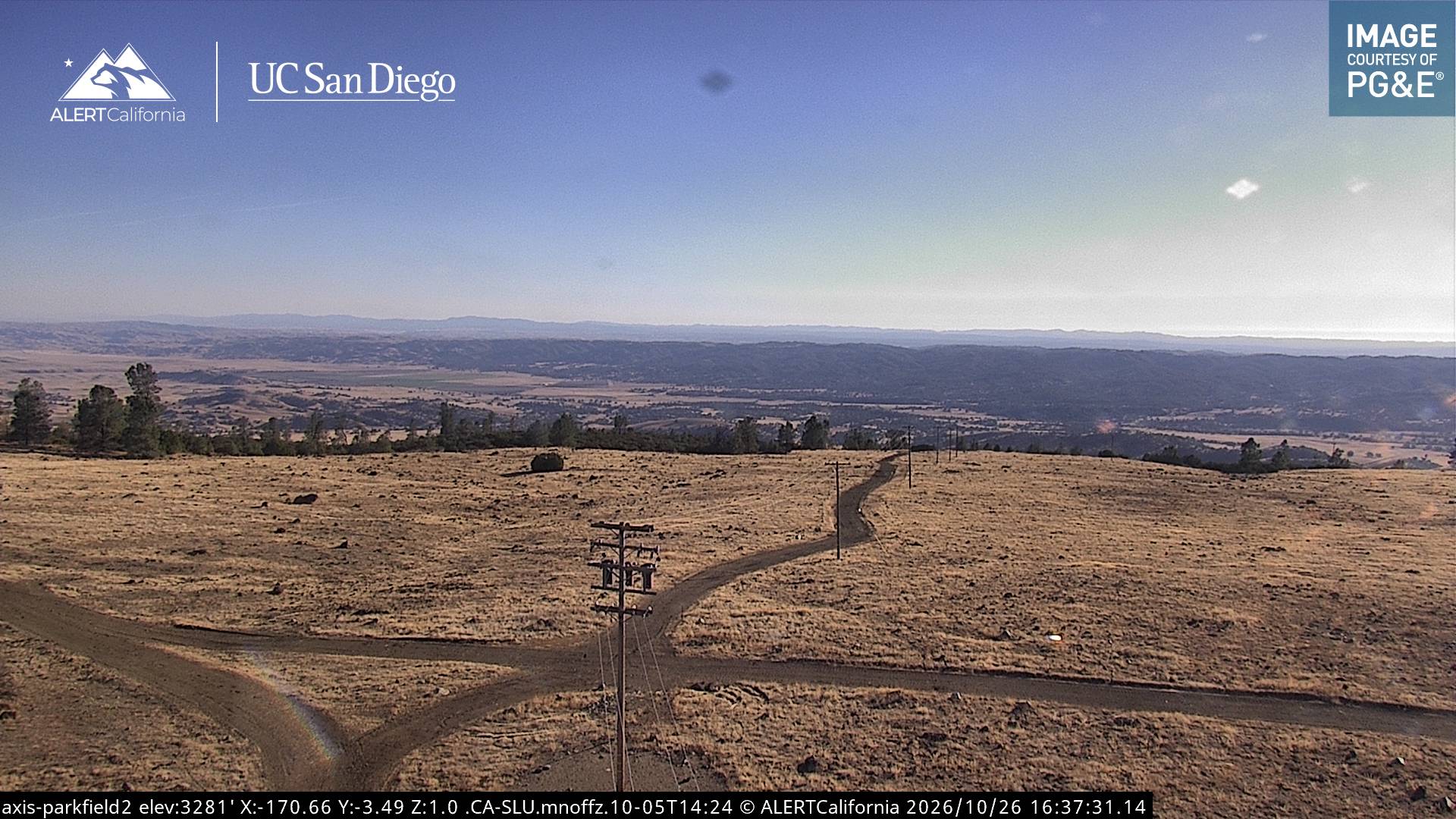
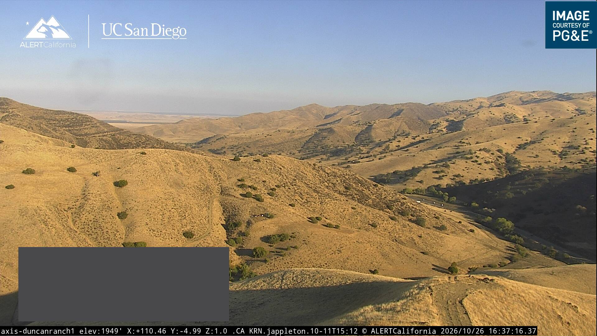
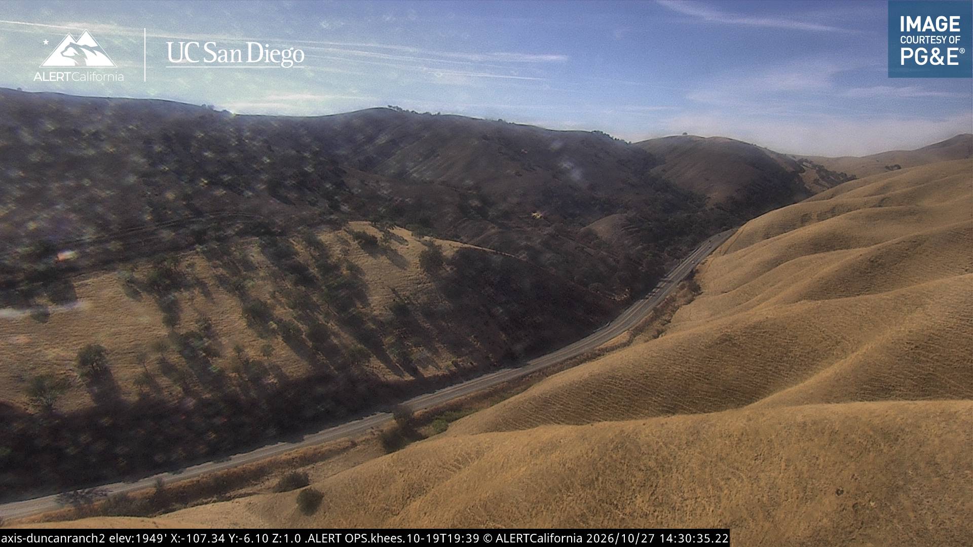
Webcams near Table Mountain
Towns near Table Mountain
- Avenal20 km away
- Coalinga27 km away
- Paso Robles49 km away
- Atascadero58 km away
- Lemoore62 km away
- Corcoran68 km away