Table Mountain
3,476 英尺1,060 米
山 · 代阿布洛岭 · 美国
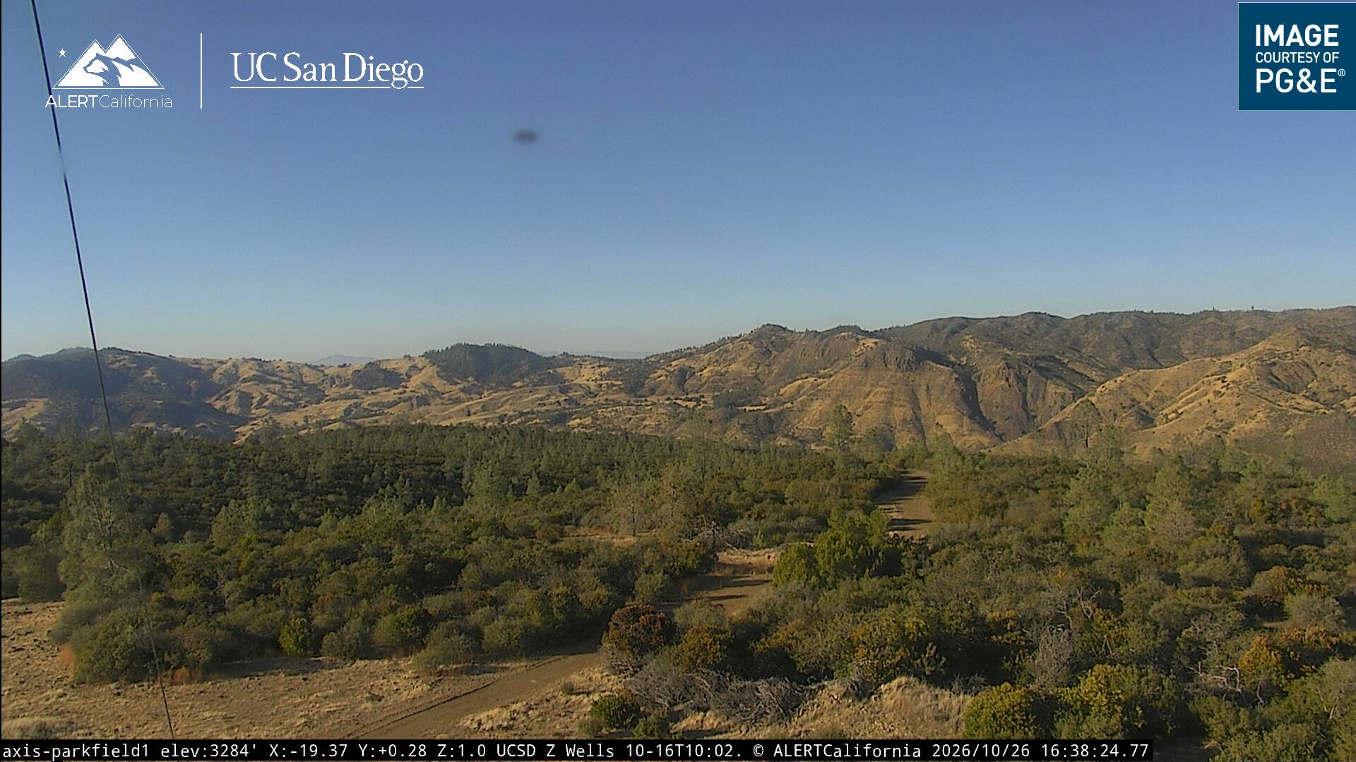
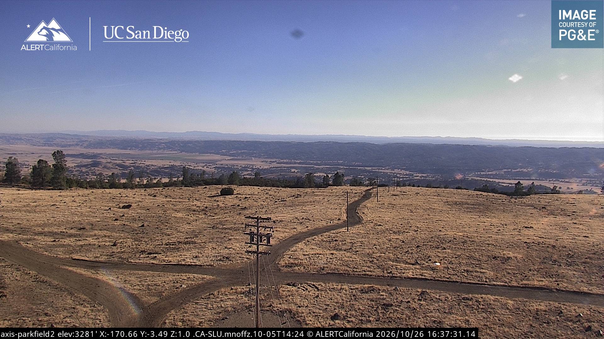
Table Mountain is a mountain ridge located in the Diablo Range in Northern California on the boundary between Kings and Monterey counties. It rises to an elevation of 3,476 feet (1,059 m) and is the highest point in Kings County. A large 500 kV power line, connected to Path 15, runs to the north of the summit.
来自Wikipedia,CC BY-SA · 阅读文章
山顶 · 13:00 的预报
59 °F多云 · 东北风 7 英里/小时
Table Mountain山顶天气,3,476 英尺
- 13:0059 °F东北 7 英里/小时–
- 16:0059 °F东北 8 英里/小时–
- 19:0052 °F东北 4 英里/小时–
- 22:0049 °F北 4 英里/小时–
- 1:0047 °F北 2 英里/小时–
- 4:0047 °F北 2 英里/小时–
- 7:0047 °F北 1 英里/小时–
- 10:0054 °F东南 2 英里/小时–
| 日期 | 天气 | 最高 / 最低 | 雨 | 最大风速 |
|---|---|---|---|---|
| 10月29日周四 | 晴 | 64 °F / 47 °F | – | 12 英里/小时 |
| 10月30日周五 | 少云 | 61 °F / 47 °F | 0.01 英寸 | 8 英里/小时 |
| 10月31日周六 | 中雨 | 53 °F / 47 °F | 0.24 英寸 | 5 英里/小时 |
| 11月1日周日 | 晴 | 54 °F / 42 °F | 0.02 英寸 | 9 英里/小时 |
| 11月2日周一 | 晴 | 57 °F / 40 °F | – | 5 英里/小时 |
| 11月3日周二 | 多云 | 65 °F / 44 °F | – | 3 英里/小时 |
| 11月4日周三 | 阴 | 69 °F / 49 °F | – | 3 英里/小时 |
预报来自 MET Norway(CC BY 4.0),更新于 GMT-7 12:19。时间均为当地时间。
基本信息
Table Mountain (Kings County, California)
Mountain in California
Table Mountain is a mountain ridge located in the Diablo Range in Northern California on the boundary between Kings and Monterey counties. It rises to an elevation of 3,476 feet (1,059 m) and is the highest point in Kings County. A large 500 kV power line, connected to Path 15, runs to the north of the summit. A little snow falls on the mountain during the winter.
来自Wikipedia,CC BY-SA · 阅读文章
Table Mountain附近的山峰
- Zwang Peak3,081 英尺 · 5.2 公里外地图上
- Black Mountain4,345 英尺 · 5.5 公里外地图上
- Santa Rita peak5,165 英尺 · 57 公里外地图上
- Tent Hills丘陵 · 13 公里外地图上
- Mustang Peak山 · 15 公里外地图上
- Black Mountain山 · 46 公里外地图上
- Joaquin Ridge丘陵 · 54 公里外地图上
代阿布洛岭最高峰
- San Benito Mountain5,267 英尺地图上
- Santa Rita peak5,165 英尺地图上
- 汉密尔顿山 (加利福尼亚州)4,354 英尺地图上
- Black Mountain4,345 英尺地图上
- Black Mountain3,955 英尺地图上
- 代阿布洛山3,806 英尺地图上
- Laveaga Peak3,804 英尺地图上
- Black Mountain3,758 英尺地图上
- Table Mountain3,476 英尺地图上