Montañas de Alemania
Verla en 3DSchneeberg
692 m2272 ft
Montaña · Bosque de Turingia · Alemania
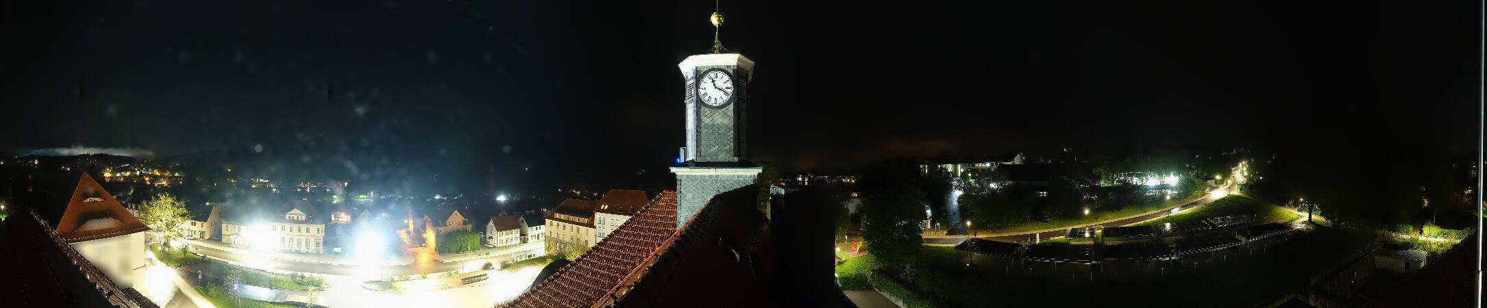
The Schneeberg is a mountain that stands 692.4 metres high and marks the southernmost boundary of the borough of Suhl in the German state of Thuringia.
De Wikipedia, CC BY-SA · Leer el artículo
En la cumbre · pronóstico para las 15:00
9 °CParcialmente nublado · viento de 13 km/h del NO
Clima en la cumbre de Schneeberg, 692 m
- 15:009 °CNO 13 km/h–
- 18:005 °CN 7 km/h–
- 21:004 °CN 7 km/h–
- 0:003 °CNE 5 km/h–
- 3:003 °CNE 5 km/h–
- 6:002 °CNE 4 km/h–
- 9:006 °CO 3 km/h–
- 12:0010 °CO 4 km/h–
| Día | Cielo | Máx. / mín. | Lluvia | Viento hasta |
|---|---|---|---|---|
| jue, 29 oct | Mayormente despejado | 11 °C / 2 °C | – | 10 km/h |
| vie, 30 oct | Nublado | 9 °C / 4 °C | – | 12 km/h |
| sáb, 31 oct | Nublado | 7 °C / 4 °C | 0,1 mm | 10 km/h |
| dom, 1 nov | Nublado | 7 °C / 4 °C | 0,2 mm | 7 km/h |
| lun, 2 nov | Nublado | 7 °C / 4 °C | 1,5 mm | 18 km/h |
| mar, 3 nov | Despejado | 7 °C / 2 °C | 0,1 mm | 15 km/h |
| mié, 4 nov | Mayormente despejado | 7 °C / 3 °C | 0,2 mm | 9 km/h |
Pronóstico de MET Norway (CC BY 4.0), actualizado a las 02:17 CET. Horas locales.
Ficha técnica
- Tipo
- Montaña
- Altitud sobre el nivel del mar
- 692 m (2272 ft)
- Cordillera
- Bosque de Turingia
- País
- Alemania
- Coordenadas
- 50.561°N 10.659°E
- Fuente
- Wikidata, CC0
Picos cerca de Schneeberg
- Großer Beerberg983 m · a 13 kmEn el mapa
- Großer Finsterberg944 m · a 13 kmEn el mapa
- Schneekopf978 m · a 14 kmEn el mapa
- Großer Hermannsberg867 m · a 16 kmEn el mapa
- Kleiner Gleichberg641 m · a 17 kmEn el mapa
- Simmersberg781 m · a 18 kmEn el mapa
- Kickelhahn861 m · a 20 kmEn el mapa
- Großer Gleichberg679 m · a 20 kmEn el mapa
- Ehrenberg528 m · a 24 kmEn el mapa
- Hohe Schule538 m · a 27 kmEn el mapa
Los más altos de Bosque de Turingia
- Großer Beerberg983 mEn el mapa
- Ruppberg866 mEn el mapa
- Dreiherrnstein838 mEn el mapa
- Großer Hundskopf824 mEn el mapa
- Reischelberg821 mEn el mapa
- Pferdeberg805 mEn el mapa
- Kohlhieb790 mEn el mapa
- Simmersberg781 mEn el mapa
- Schneeberg692 mEn el mapa
Montañas más altas de Alemania
- Zugspitze2962 mEn el mapa
- Hochwanner2744 mEn el mapa
- Dreitorspitze2682 mEn el mapa
- Hochkalter2607 mEn el mapa
- Biberkopf2599 mEn el mapa
- Großer Hundstod2594 mEn el mapa
- Hochvogel2592 mEn el mapa
- Östliche Karwendelspitze2538 mEn el mapa
- Hocheisspitze2523 mEn el mapa
- Hoher Göll2522 mEn el mapa