Selibüel
1 750 m5 741 ft
Montagne · Bernese Prealps · Suisse
The Selibüel is a mountain of the Bernese Alpine foothills, located in the municipality of Rüschegg in the canton of Bern. It is the culminating point of the wooded range that lies north of the Gurnigel Pass, between the valleys of the Sense (west) and the Aare (east).
Source : Wikipedia, CC BY-SA · Lire l’article
Au sommet · prévision pour 6:00
3 °CDégagé · vent 5 km/h du S
Météo au sommet : Selibüel, 1 750 m
- 6:003 °CS 5 km/h–
- 9:008 °CS 6 km/h–
- 12:0014 °CNO 4 km/h–
- 15:0013 °CNO 6 km/h–
- 18:007 °CSO 6 km/h–
- 21:005 °CSO 8 km/h–
- 0:005 °CSO 9 km/h0,1 mm
- 3:005 °CSO 6 km/h–
| Jour | Ciel | Max. / min. | Pluie | Vent jusqu’à |
|---|---|---|---|---|
| Aujourd’hui | Dégagé | 14 °C / 2 °C | – | 9 km/h |
| mer. 28 oct. | Pluie faible | 5 °C / 2 °C | 1,1 mm | 13 km/h |
| jeu. 29 oct. | Plutôt dégagé | 7 °C / -0 °C | – | 9 km/h |
| ven. 30 oct. | Dégagé | 7 °C / -0 °C | – | 5 km/h |
| sam. 31 oct. | Dégagé | 8 °C / -1 °C | – | 4 km/h |
| dim. 1 nov. | Dégagé | 8 °C / -0 °C | – | 5 km/h |
| lun. 2 nov. | Plutôt dégagé | 4 °C / -2 °C | – | 9 km/h |
Prévisions de MET Norway (CC BY 4.0), mises à jour à 00:19 UTC+1. Heures locales.
Fiche technique
- Type
- Montagne
- Altitude
- 1 750 m (5 741 ft)
- Proéminence
- 170 m (558 ft)
- Massif
- Bernese Prealps
- Pays
- Suisse
- Coordonnées
- 46.732°N 7.439°E
- Source
- Wikidata, CC0
Selibüel
Mountain in Switzerland
The Selibüel is a mountain of the Bernese Alpine foothills, located in the municipality of Rüschegg in the canton of Bern. It is the culminating point of the wooded range that lies north of the Gurnigel Pass, between the valleys of the Sense (west) and the Aare (east). The summit area, as well as the other summits of the range, such as the Pfyffe, is easily accessible by car or by bus via the Gurnigel road.
Source : Wikipedia, CC BY-SA · Lire l’article
Sommets près de Selibüel
- Niesen2 362 m · à 19 kmSur la carte
- Albristhorn2 763 m · à 26 kmSur la carte
- Vanil Noir2 389 m · à 32 kmSur la carte
- Schilthorn2 970 m · à 36 kmSur la carte
- Doldenhorn3 638 m · à 37 kmSur la carte
- Blümlisalp3 661 m · à 37 kmSur la carte
- Gummfluh2 458 m · à 37 kmSur la carte
- Wildstrubel3 244 m · à 37 kmSur la carte
- Le Moléson2 002 m · à 38 kmSur la carte
- Altels3 630 m · à 38 kmSur la carte
Les plus hauts : Bernese Prealps
- Schilthorn2 970 mSur la carte
- Schwarzhorn2 928 mSur la carte
- Drättehorn2 794 mSur la carte
- Reeti2 757 mSur la carte
- Ärmighorn2 742 mSur la carte
- Giferspitz2 542 mSur la carte
- Tschuggen2 521 mSur la carte
- Schwalmerngrat2 521 mSur la carte
- Selibüel1 750 mSur la carte
Plus hautes montagnes : Suisse
- pointe Dufour4 634 mSur la carte
- Dom4 546 mSur la carte
- Liskamm4 532 mSur la carte
- Weisshorn4 505 mSur la carte
- Cervin4 478 mSur la carte
- dent Blanche4 357 mSur la carte
- Grand Combin4 309 mSur la carte
- Finsteraarhorn4 274 mSur la carte
- Zinalrothorn4 221 mSur la carte
- Alphubel4 206 mSur la carte
Webcams près de Selibüel
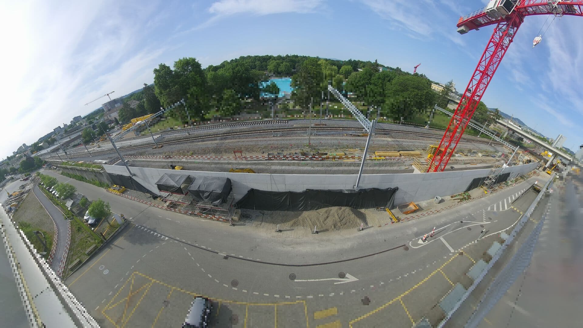 For Haltestelle Bern Europaplatz Nord: https://company.sbb.ch/de/bahnentwicklung/projekte/deutschschweiz/region-bern/bahnknoten-bern/bern-west/projekt/bahnhof-europaplatz-nord.htmlà 24 km du sommet
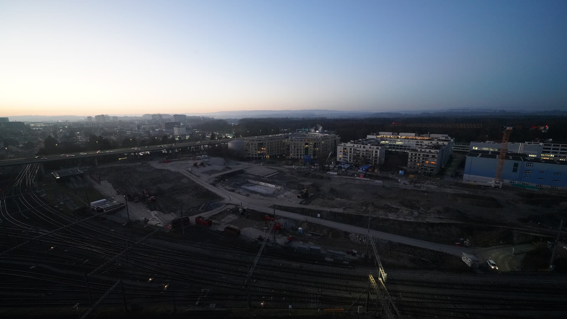 For BFH construction site: https://www.campus-bern.bvd.be.ch/de/start/bauphase.htmlà 24 km du sommet
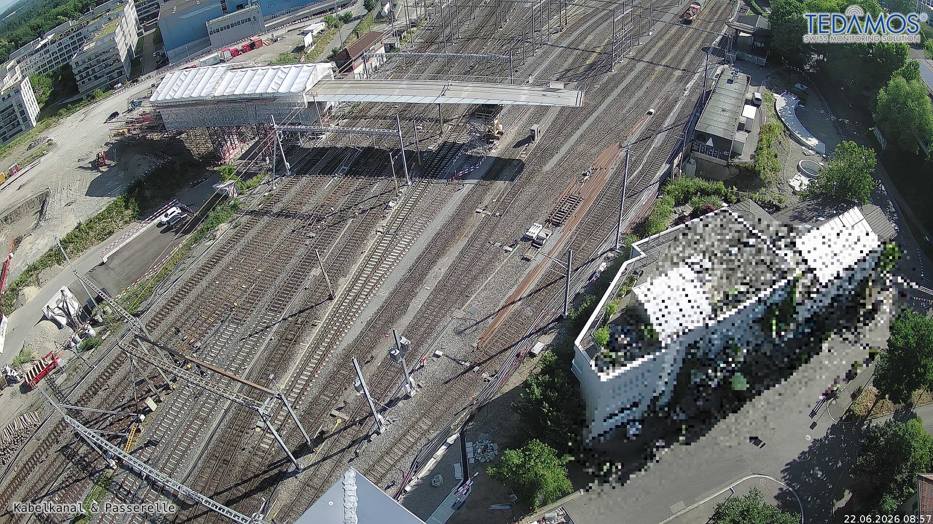 For "Leistungssteigerung Bern West": https://company.sbb.ch/de/bahnentwicklung/projekte/deutschschweiz/region-bern/bahnknoten-bern/bern-west/à 24 km du sommet
 Webcamà 25 km du sommet