Selibüel
1.750 m5.741 ft
Dağ · Bernese Prealps · İsviçre
The Selibüel is a mountain of the Bernese Alpine foothills, located in the municipality of Rüschegg in the canton of Bern. It is the culminating point of the wooded range that lies north of the Gurnigel Pass, between the valleys of the Sense (west) and the Aare (east).
Kaynak: Wikipedia, CC BY-SA · Makaleyi oku
Zirvede · 17:00 tahmini
9 °CAz bulutlu · rüzgâr B yönünden 3 km/sa
Selibüel zirvesinde hava durumu, 1.750 m
- 17:009 °CB 3 km/sa–
- 20:006 °CGB 7 km/sa–
- 23:005 °CGB 9 km/sa–
- 2:005 °CGB 7 km/sa0,1 mm
- 5:004 °CB 7 km/sa–
- 8:004 °CB 4 km/sa1,5 mm
- 11:004 °CKD 9 km/sa0,6 mm
- 14:004 °CKD 11 km/sa–
| Gün | Gökyüzü | En yüksek / en düşük | Yağmur | Maks. rüzgâr |
|---|---|---|---|---|
| 28 Eki Çar | Sis | 5 °C / 2 °C | 2,3 mm | 12 km/sa |
| 29 Eki Per | Az bulutlu | 6 °C / -0 °C | – | 11 km/sa |
| 30 Eki Cum | Açık | 7 °C / -0 °C | – | 5 km/sa |
| 31 Eki Cmt | Açık | 8 °C / -1 °C | – | 4 km/sa |
| 1 Kas Paz | Açık | 8 °C / -0 °C | – | 5 km/sa |
| 2 Kas Pzt | Az bulutlu | 4 °C / -2 °C | – | 9 km/sa |
| 3 Kas Sal | Parçalı bulutlu | 5 °C / -2 °C | – | 6 km/sa |
Tahmin: MET Norway (CC BY 4.0), güncelleme 10:22 GMT+1. Saatler yerel saattir.
Temel bilgiler
- Türü
- Dağ
- Deniz seviyesinden yükseklik
- 1.750 m (5.741 ft)
- Doruk yüksekliği (prominens)
- 170 m (558 ft)
- Sıradağ
- Bernese Prealps
- Ülke
- İsviçre
- Koordinatlar
- 46.732°N 7.439°E
- Kaynak
- Wikidata, CC0
Selibüel
Mountain in Switzerland
The Selibüel is a mountain of the Bernese Alpine foothills, located in the municipality of Rüschegg in the canton of Bern. It is the culminating point of the wooded range that lies north of the Gurnigel Pass, between the valleys of the Sense (west) and the Aare (east). The summit area, as well as the other summits of the range, such as the Pfyffe, is easily accessible by car or by bus via the Gurnigel road.
Kaynak: Wikipedia, CC BY-SA · Makaleyi oku
Selibüel yakınındaki zirveler
- Niesen2.362 m · 19 km uzaktaHaritada
- Albristhorn2.763 m · 26 km uzaktaHaritada
- Vanil Noir2.389 m · 32 km uzaktaHaritada
- Schilthorn2.970 m · 36 km uzaktaHaritada
- Doldenhorn3.638 m · 37 km uzaktaHaritada
- Blüemlisalp3.661 m · 37 km uzaktaHaritada
- Gummfluh2.458 m · 37 km uzaktaHaritada
- Wildstrubel3.244 m · 37 km uzaktaHaritada
- Moléson2.002 m · 38 km uzaktaHaritada
- Altels3.630 m · 38 km uzaktaHaritada
Bernese Prealps içinde en yüksekler
- Schilthorn2.970 mHaritada
- Schwarzhorn2.928 mHaritada
- Drättehorn2.794 mHaritada
- Reeti2.757 mHaritada
- Ärmighorn2.742 mHaritada
- Giferspitz2.542 mHaritada
- Tschuggen2.521 mHaritada
- Schwalmerngrat2.521 mHaritada
- Selibüel1.750 mHaritada
İsviçre en yüksek dağları
- Dufourspitze4.634 mHaritada
- Dom4.546 mHaritada
- Lyskamm4.532 mHaritada
- Weisshorn4.505 mHaritada
- Matterhorn4.478 mHaritada
- Dent Blanche4.357 mHaritada
- Grand Combin4.309 mHaritada
- Finsteraarhorn4.274 mHaritada
- Zinalrothorn4.221 mHaritada
- Alphubel4.206 mHaritada
Selibüel yakınındaki web kameraları
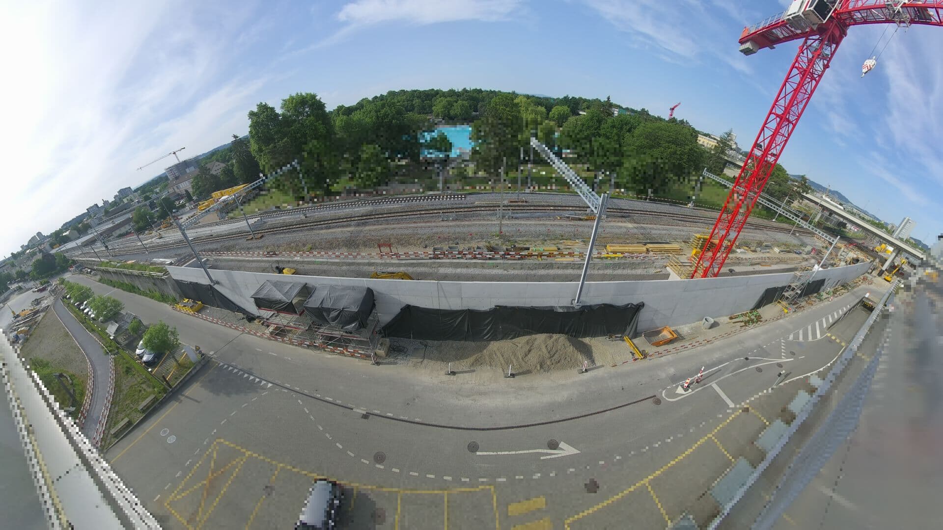 For Haltestelle Bern Europaplatz Nord: https://company.sbb.ch/de/bahnentwicklung/projekte/deutschschweiz/region-bern/bahnknoten-bern/bern-west/projekt/bahnhof-europaplatz-nord.htmlzirveye 24 km
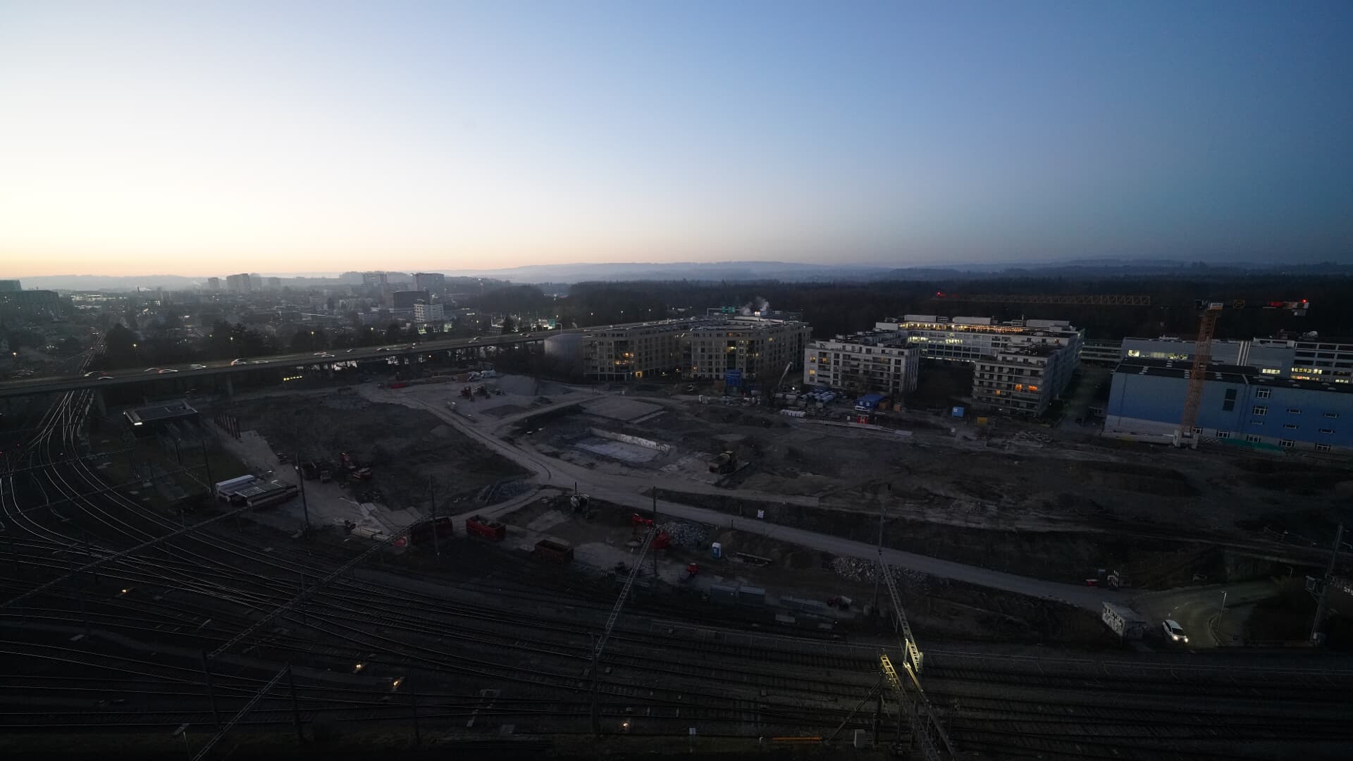 For BFH construction site: https://www.campus-bern.bvd.be.ch/de/start/bauphase.htmlzirveye 24 km
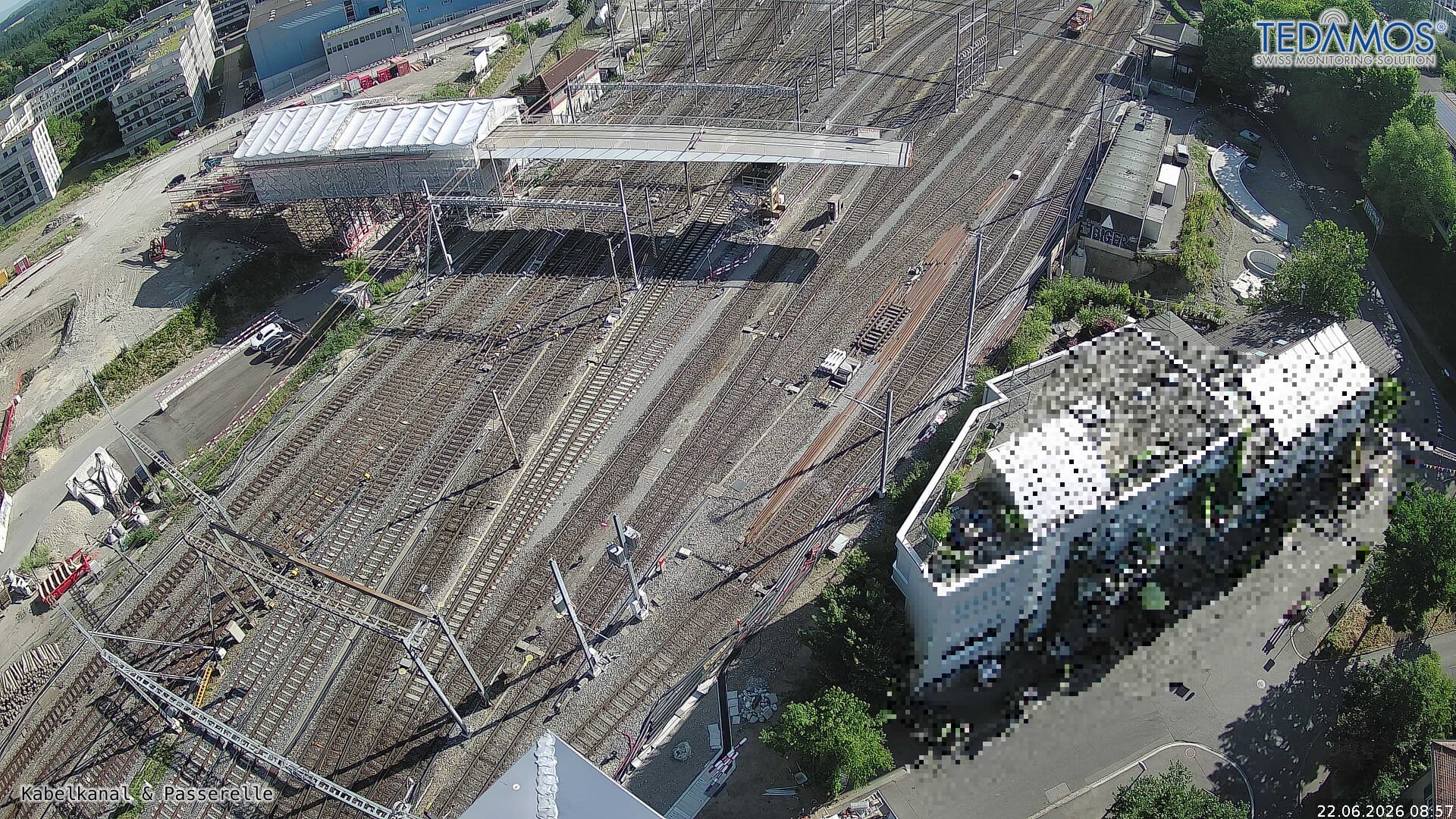 For "Leistungssteigerung Bern West": https://company.sbb.ch/de/bahnentwicklung/projekte/deutschschweiz/region-bern/bahnknoten-bern/bern-west/zirveye 24 km
 Webcamzirveye 25 km