Selibüel
1,750 米5,741 英尺
山 · 伯訥前阿爾卑斯山脈 · 瑞士
The Selibüel is a mountain of the Bernese Alpine foothills, located in the municipality of Rüschegg in the canton of Bern. It is the culminating point of the wooded range that lies north of the Gurnigel Pass, between the valleys of the Sense (west) and the Aare (east).
来自Wikipedia,CC BY-SA · 阅读文章
山顶 · 17:00 的预报
8 °C少云 · 西风 4 km/h
Selibüel山顶天气,1,750 米
- 17:008 °C西 4 km/h–
- 20:005 °C西南 7 km/h–
- 23:005 °C西南 9 km/h–
- 2:005 °C西南 7 km/h–
- 5:004 °C西南 9 km/h0.2 mm
- 8:004 °C西北 7 km/h1.4 mm
- 11:004 °C东北 9 km/h0.2 mm
- 14:003 °C东北 11 km/h–
| 日期 | 天气 | 最高 / 最低 | 雨 | 最大风速 |
|---|---|---|---|---|
| 10月28日周三 | 雾 | 5 °C / 2 °C | 1.8 mm | 13 km/h |
| 10月29日周四 | 少云 | 6 °C / -1 °C | – | 11 km/h |
| 10月30日周五 | 少云 | 6 °C / -1 °C | – | 5 km/h |
| 10月31日周六 | 少云 | 6 °C / -4 °C | – | 4 km/h |
| 11月1日周日 | 晴 | 6 °C / -3 °C | – | 8 km/h |
| 11月2日周一 | 少云 | 4 °C / -3 °C | – | 8 km/h |
| 11月3日周二 | 多云 | 4 °C / -6 °C | – | 8 km/h |
预报来自 MET Norway(CC BY 4.0),更新于 GMT+1 14:17。时间均为当地时间。
基本信息
Selibüel
Mountain in Switzerland
The Selibüel is a mountain of the Bernese Alpine foothills, located in the municipality of Rüschegg in the canton of Bern. It is the culminating point of the wooded range that lies north of the Gurnigel Pass, between the valleys of the Sense (west) and the Aare (east). The summit area, as well as the other summits of the range, such as the Pfyffe, is easily accessible by car or by bus via the Gurnigel road.
来自Wikipedia,CC BY-SA · 阅读文章
Selibüel附近的山峰
伯訥前阿爾卑斯山脈最高峰
瑞士最高的山
Selibüel附近的网络摄像头
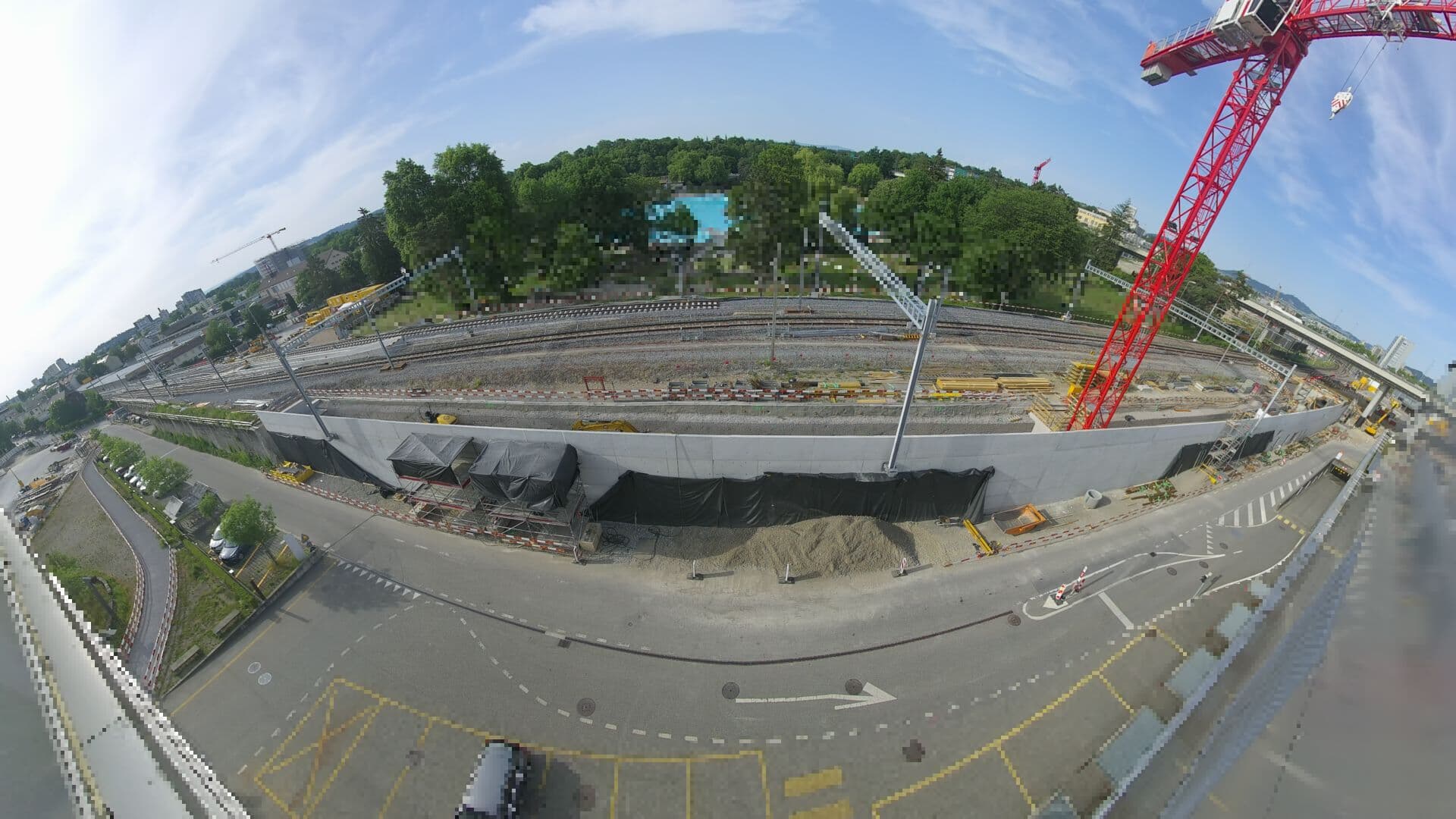 For Haltestelle Bern Europaplatz Nord: https://company.sbb.ch/de/bahnentwicklung/projekte/deutschschweiz/region-bern/bahnknoten-bern/bern-west/projekt/bahnhof-europaplatz-nord.html距山顶 24 公里
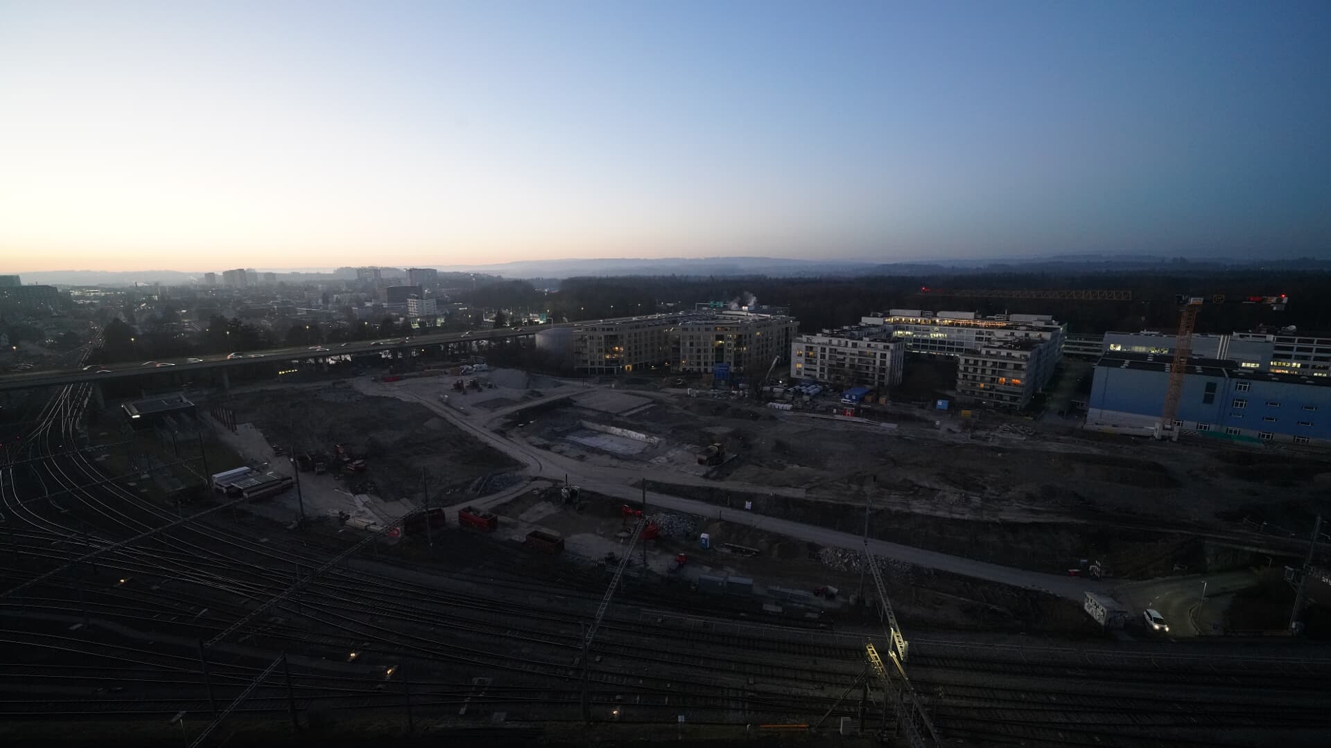 For BFH construction site: https://www.campus-bern.bvd.be.ch/de/start/bauphase.html距山顶 24 公里
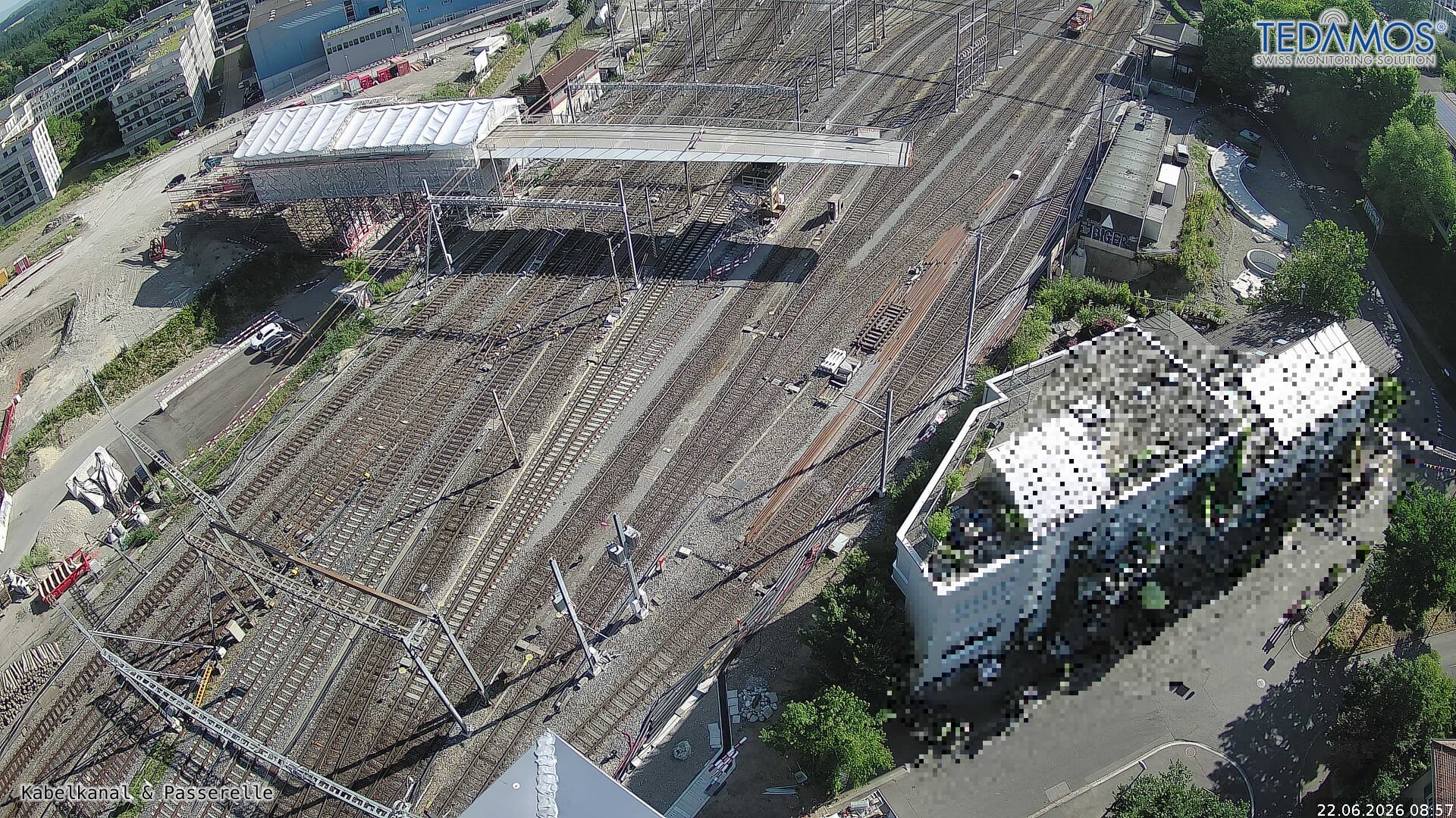 For "Leistungssteigerung Bern West": https://company.sbb.ch/de/bahnentwicklung/projekte/deutschschweiz/region-bern/bahnknoten-bern/bern-west/距山顶 24 公里
 Webcam距山顶 25 公里