Selibüel
1,750 m5,741 ft
山 · Bernese Prealps · スイス
The Selibüel is a mountain of the Bernese Alpine foothills, located in the municipality of Rüschegg in the canton of Bern. It is the culminating point of the wooded range that lies north of the Gurnigel Pass, between the valleys of the Sense (west) and the Aare (east).
出典: Wikipedia、CC BY-SA · 記事を読む
山頂 · 2:00 の予報
3 °C快晴 · 南の風 3 km/h
Selibüel 山頂の天気(1,750 m)
- 2:003 °C南 3 km/h–
- 5:003 °C南 5 km/h–
- 8:004 °C南 5 km/h–
- 11:0013 °C北西 3 km/h–
- 14:0014 °C北 5 km/h–
- 17:009 °C南西 4 km/h–
- 20:005 °C南西 8 km/h–
- 23:005 °C南西 9 km/h–
| 日付 | 天気 | 最高 / 最低 | 雨 | 最大風速 |
|---|---|---|---|---|
| 今日 | 快晴 | 14 °C / 2 °C | – | 9 km/h |
| 10月28日(水) | 小雨 | 5 °C / 2 °C | 1.1 mm | 13 km/h |
| 10月29日(木) | 晴れ | 7 °C / -0 °C | – | 9 km/h |
| 10月30日(金) | 快晴 | 7 °C / -0 °C | – | 5 km/h |
| 10月31日(土) | 快晴 | 8 °C / -1 °C | – | 4 km/h |
| 11月1日(日) | 快晴 | 8 °C / -0 °C | – | 5 km/h |
| 11月2日(月) | 晴れ | 4 °C / -2 °C | – | 9 km/h |
MET Norway(CC BY 4.0)による予報。00:19 GMT+1 更新。時刻は現地時間です。
基本データ
- 種類
- 山
- 標高
- 1,750 m (5,741 ft)
- プロミネンス
- 170 m (558 ft)
- 山脈
- Bernese Prealps
- 国
- スイス
- 座標
- 46.732°N 7.439°E
Selibüel
Mountain in Switzerland
The Selibüel is a mountain of the Bernese Alpine foothills, located in the municipality of Rüschegg in the canton of Bern. It is the culminating point of the wooded range that lies north of the Gurnigel Pass, between the valleys of the Sense (west) and the Aare (east). The summit area, as well as the other summits of the range, such as the Pfyffe, is easily accessible by car or by bus via the Gurnigel road.
出典: Wikipedia、CC BY-SA · 記事を読む
Selibüel周辺の山
- Niesen2,362 m · 19 km先地図上
- Albristhorn2,763 m · 26 km先地図上
- Vanil Noir2,389 m · 32 km先地図上
- シルトホルン2,970 m · 36 km先地図上
- Doldenhorn3,638 m · 37 km先地図上
- ブリュムリスアルプホルン3,661 m · 37 km先地図上
- Gummfluh2,458 m · 37 km先地図上
- ヴィルトシュトルーベル3,244 m · 37 km先地図上
- Moléson2,002 m · 38 km先地図上
- Altels3,630 m · 38 km先地図上
Bernese Prealpsの最高峰
- シルトホルン2,970 m地図上
- Schwarzhorn2,928 m地図上
- Drättehorn2,794 m地図上
- Reeti2,757 m地図上
- Ärmighorn2,742 m地図上
- Giferspitz2,542 m地図上
- Tschuggen2,521 m地図上
- Schwalmerngrat2,521 m地図上
- Selibüel1,750 m地図上
スイスの高い山
Selibüel周辺のライブカメラ
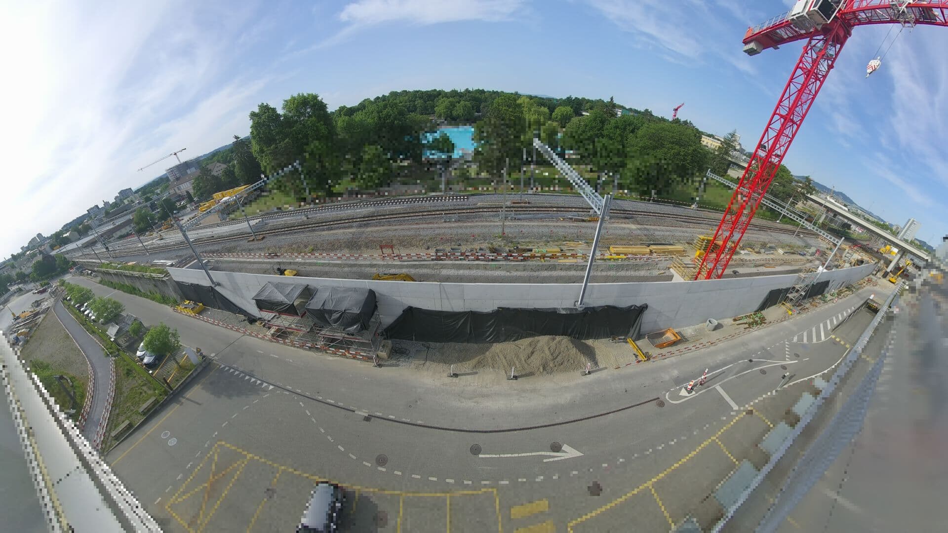 For Haltestelle Bern Europaplatz Nord: https://company.sbb.ch/de/bahnentwicklung/projekte/deutschschweiz/region-bern/bahnknoten-bern/bern-west/projekt/bahnhof-europaplatz-nord.html山頂から 24 km
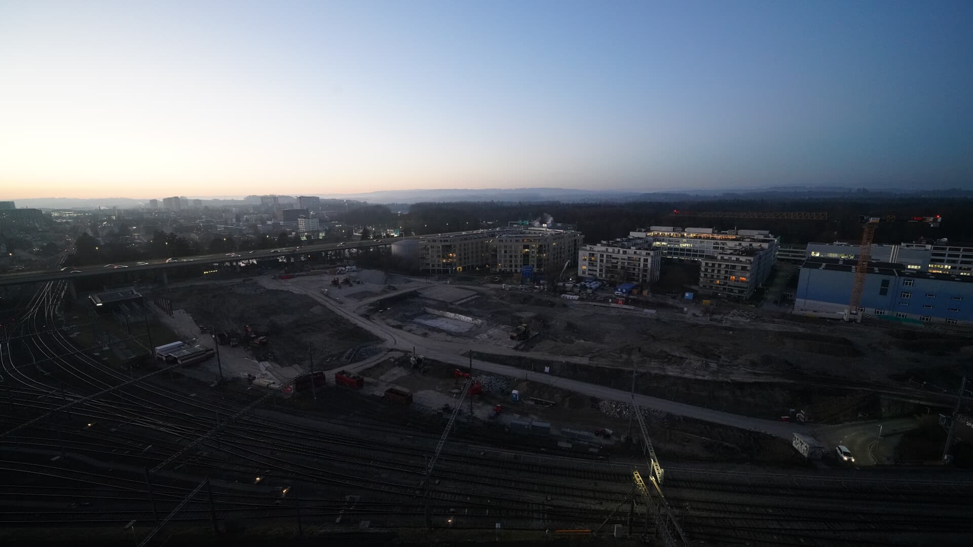 For BFH construction site: https://www.campus-bern.bvd.be.ch/de/start/bauphase.html山頂から 24 km
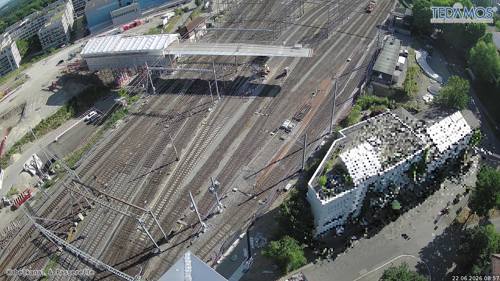 For "Leistungssteigerung Bern West": https://company.sbb.ch/de/bahnentwicklung/projekte/deutschschweiz/region-bern/bahnknoten-bern/bern-west/山頂から 24 km
 Webcam山頂から 25 km