Gokyo Ri
5,357 m17,575 ft
山 · ヒマラヤ山脈 · ネパール
Gokyo Peak is a 5,357 m (17,575 ft)-high peak in the Khumbu region of the Nepal Himalayas. It is located on the west side of the Ngozumpa glacier, which is the largest glacier in Nepal and reputed to be the largest in the whole Himalayas.
出典: Wikipedia、CC BY-SA · 記事を読む
山頂 · 23:45 の予報
-13 °C晴れ時々曇り · 北の風 7 km/h
 3D で見る
Gokyo Ri 山頂の天気(5,357 m)
- 23:45-13 °C北 7 km/h–
- 2:45-14 °C北 8 km/h–
- 5:45-15 °C北 8 km/h–
- 8:45-7 °C北 5 km/h–
- 11:45-4 °C南東 8 km/h–
- 14:45-3 °C南 8 km/h–
- 17:45-7 °C北 5 km/h–
- 20:45-8 °C北東 5 km/h–
| 日付 | 天気 | 最高 / 最低 | 雨 | 最大風速 |
|---|---|---|---|---|
| 10月28日(水) | 曇り | -3 °C / -15 °C | – | 10 km/h |
| 10月29日(木) | 大雪 | -5 °C / -11 °C | 23.6 mm | 9 km/h |
| 10月30日(金) | 大雪 | -5 °C / -6 °C | 110.9 mm | 7 km/h |
| 10月31日(土) | 雪 | -3 °C / -11 °C | 8.7 mm | 6 km/h |
| 11月1日(日) | 晴れ | -5 °C / -13 °C | – | 10 km/h |
| 11月2日(月) | 小雪 | -4 °C / -13 °C | 1 mm | 8 km/h |
| 11月3日(火) | 快晴 | -6 °C / -15 °C | 0.2 mm | 10 km/h |
MET Norway(CC BY 4.0)による予報。17:04 GMT+5:45 更新。時刻は現地時間です。
基本データ
- 種類
- 山
- 標高
- 5,357 m (17,575 ft)
- 山脈
- ヒマラヤ山脈
- 国
- ネパール
- 座標
- 27.961°N 86.683°E
Gokyo Ri
Mountain in Nepal
Gokyo Peak is a 5,357 m (17,575 ft)-high peak in the Khumbu region of the Nepal Himalayas. It is located on the west side of the Ngozumpa glacier, which is the largest glacier in Nepal and reputed to be the largest in the whole Himalayas. Gokyo, at the base of Gokyo Ri, is a small village with several houses and lodges, and is one of the highest settlements in the world.
出典: Wikipedia、CC BY-SA · 記事を読む
Gokyo Ri周辺の山
ヒマラヤ山脈の最高峰
ネパールの高い山
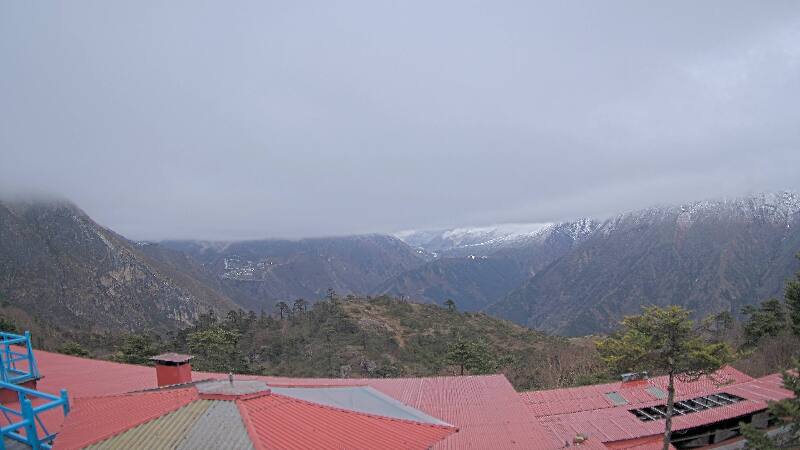
Gokyo Ri周辺のライブカメラ
Gokyo Ri周辺の歴史
Gokyo Ri周辺の町
- チャリコート70 km先