Gokyo Ri
5,357 米17,575 英尺
山 · 喜马拉雅山脉 · 尼泊尔
Gokyo Peak is a 5,357 m (17,575 ft)-high peak in the Khumbu region of the Nepal Himalayas. It is located on the west side of the Ngozumpa glacier, which is the largest glacier in Nepal and reputed to be the largest in the whole Himalayas.
来自Wikipedia,CC BY-SA · 阅读文章
山顶 · 23:45 的预报
-13 °C多云 · 北风 7 km/h
 3D 查看
Gokyo Ri山顶天气,5,357 米
- 23:45-13 °C北 7 km/h–
- 2:45-14 °C北 7 km/h–
- 5:45-14 °C北 9 km/h–
- 8:45-7 °C北 7 km/h–
- 11:45-4 °C南 10 km/h–
- 14:45-3 °C南 9 km/h–
- 17:45-8 °C东北 5 km/h–
- 20:45-8 °C北 5 km/h–
| 日期 | 天气 | 最高 / 最低 | 雨 | 最大风速 |
|---|---|---|---|---|
| 今天 | 多云 | -3 °C / -14 °C | – | 10 km/h |
| 10月29日周四 | 中雪 | -5 °C / -14 °C | 17.4 mm | 13 km/h |
| 10月30日周五 | 大雪 | -5 °C / -6 °C | 107.5 mm | 9 km/h |
| 10月31日周六 | 中雪 | -3 °C / -11 °C | 8.7 mm | 6 km/h |
| 11月1日周日 | 少云 | -5 °C / -13 °C | – | 10 km/h |
| 11月2日周一 | 小雪 | -4 °C / -13 °C | 1 mm | 8 km/h |
| 11月3日周二 | 晴 | -6 °C / -15 °C | 0.2 mm | 10 km/h |
预报来自 MET Norway(CC BY 4.0),更新于 GMT+5:45 23:02。时间均为当地时间。
基本信息
Gokyo Ri
Mountain in Nepal
Gokyo Peak is a 5,357 m (17,575 ft)-high peak in the Khumbu region of the Nepal Himalayas. It is located on the west side of the Ngozumpa glacier, which is the largest glacier in Nepal and reputed to be the largest in the whole Himalayas. Gokyo, at the base of Gokyo Ri, is a small village with several houses and lodges, and is one of the highest settlements in the world.
来自Wikipedia,CC BY-SA · 阅读文章
Gokyo Ri附近的山峰
喜马拉雅山脉最高峰
尼泊尔最高的山
Gokyo Ri附近的网络摄像头
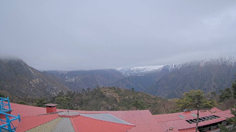
Gokyo Ri周边的历史
Gokyo Ri附近的城镇
- 澤里果德70 公里外