ドイツの山
Höllentalspitzen
2,743 m8,999 ft
山 · ヴェターシュタイン · ドイツ
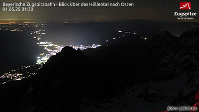
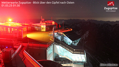
The Höllentalspitzen are three peaks in the Wetterstein Mountains near Garmisch-Partenkirchen in southern Germany. They rise from the ridge of Blassenkamm which runs eastwards from Germany's highest peak, the Zugspitze, and separate the Hölle Valley to the north from the Reintal Valley to the south.
出典: Wikipedia、CC BY-SA · 記事を読む
山頂 · 2:00 の予報
-5 °C霧 · 北の風 4 km/h
 3D で見る
Höllentalspitzen 山頂の天気(2,743 m)
- 2:00-5 °C北 4 km/h–
- 5:00-5 °C北東 4 km/h–
- 8:00-5 °C東 3 km/h–
- 11:00-2 °C東 5 km/h–
- 14:001 °C北東 8 km/h–
- 17:00-4 °C北東 5 km/h–
- 20:00-7 °C東 4 km/h–
- 23:00-9 °C東 5 km/h–
| 日付 | 天気 | 最高 / 最低 | 雨 | 最大風速 |
|---|---|---|---|---|
| 今日 | 晴れ | 1 °C / -9 °C | – | 8 km/h |
| 10月30日(金) | 快晴 | 0 °C / -11 °C | – | 9 km/h |
| 10月31日(土) | 快晴 | 1 °C / -11 °C | – | 8 km/h |
| 11月1日(日) | 雪 | -6 °C / -10 °C | 1.4 mm | 5 km/h |
| 11月2日(月) | 曇り | -6 °C / -10 °C | – | 6 km/h |
| 11月3日(火) | 曇り | -8 °C / -10 °C | 0.3 mm | 8 km/h |
| 11月4日(水) | 快晴 | -1 °C / -14 °C | – | 6 km/h |
MET Norway(CC BY 4.0)による予報。18:19 GMT+1 更新。時刻は現地時間です。
基本データ
- 種類
- 山
- 標高
- 2,743 m (8,999 ft)
- プロミネンス
- 115 m (377 ft)
- 山脈
- ヴェターシュタイン
- 国
- ドイツ
- 座標
- 47.421°N 11.021°E
Höllentalspitzen周辺の山
- ツークシュピッツェ2,962 m · 2.6 km先地図上
- Hochwanner2,744 m · 3.8 km先地図上
- Schneefernerkopf2,874 m · 4 km先地図上
- Daniel2,340 m · 11 km先地図上
- Thaneller2,341 m · 22 km先地図上
- ノルトケッテ2,637 m · 28 km先地図上
- Gehrenspitze2,163 m · 29 km先地図上
- Kellenspitze2,238 m · 31 km先地図上
- Birkkarspitze2,749 m · 31 km先地図上
- Gimpel2,173 m · 32 km先地図上
ヴェターシュタインの最高峰
- ツークシュピッツェ2,962 m地図上
- Hochwanner2,744 m地図上
- Höllentalspitzen2,743 m地図上
- Dreitorspitze2,682 m地図上
- Hohe Munde2,662 m地図上
- Wannig2,493 m地図上
- Tschirgant2,370 m地図上
ドイツの高い山
- ツークシュピッツェ2,962 m地図上
- Hochwanner2,744 m地図上
- Höllentalspitzen2,743 m地図上
- Dreitorspitze2,682 m地図上
- ホッホカルター2,607 m地図上
- Biberkopf2,599 m地図上
- Großer Hundstod2,594 m地図上
- Hochvogel2,592 m地図上
- Östliche Karwendelspitze2,538 m地図上
- Hocheisspitze2,523 m地図上