On the ground
Hiking routes
Waymarked hiking routes from OpenStreetMap, through Waymarked Trails: from the long-distance trails that cross continents down to local loops.

What you see
- International and national routes at every zoom, regional ones from zoom 7 and local ones from zoom 10.
- Click a route for its network, itinerary, mapped and official length, operator, and links.
Where the data comes from
- Waymarked TrailsHiking routes mapped on OpenStreetMap.
Kept up to date with OpenStreetMap by Waymarked Trails.
Good to know
- Only routes someone has mapped as a route on OpenStreetMap; coverage is richest in Europe.
Goes well with
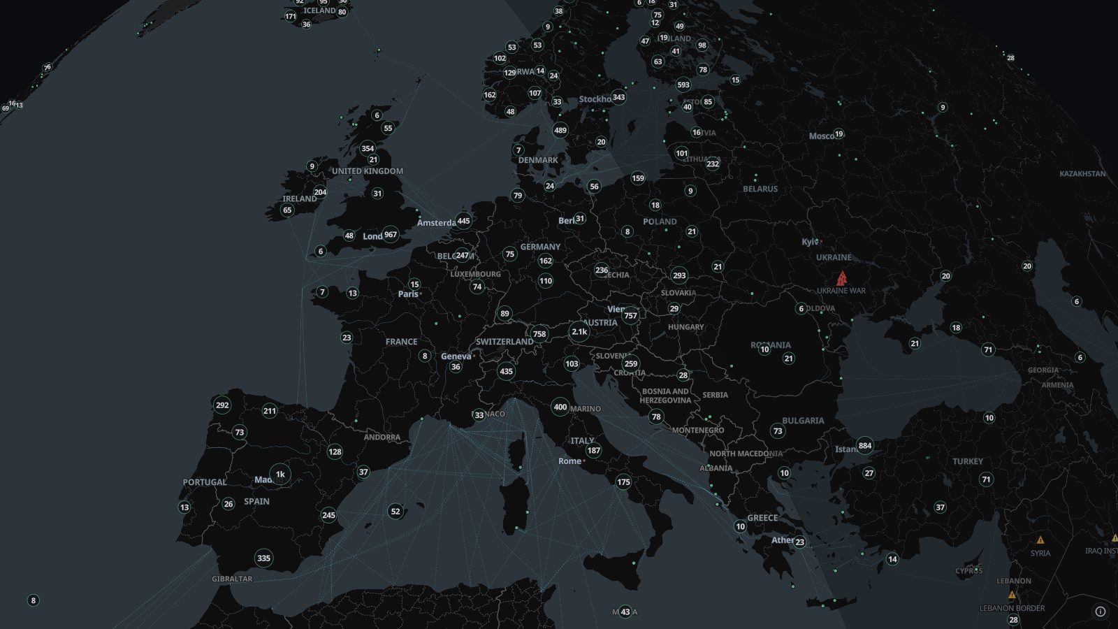 Live camerasAbout 100,000 public traffic and city cameras on one live map, from road authorities, cities and webcam networks in dozens of countries. Click to watch.
 Temperature mapAir temperature 2 metres above the ground worldwide, from NOAA’s GFS model at 0.25°, on a live map with readings labelled across it in °C or °F.