Tools
Route planner
Directions on the same map as everything else: by car, by bike or on foot, with the traffic cameras and the weather along the way a switch away.
 Open the live map
What you see
- Car, bike or walking routes, with stops along the way and things to avoid.
- An elevation profile and turn-by-turn guidance.
Where the data comes from
- Valhalla (FOSSGIS)Routing on OpenStreetMap.
- OSRMA fallback for driving routes.
Routes use OpenStreetMap as the routing servers last loaded it.
Good to know
- No public-transport routing.
- Routes don’t account for live traffic.
Goes well with
 Buses and trains, liveBuses, trams, trains and metros moving in real time in hundreds of cities, from about 750 open transit feeds, with the route and status of each vehicle.
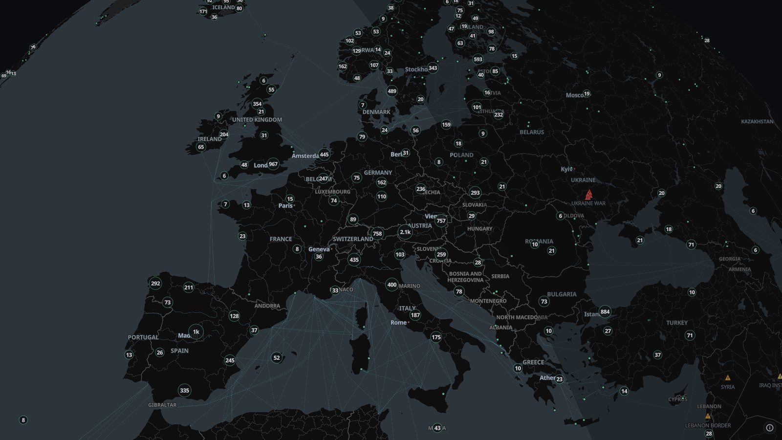 Live camerasAbout 100,000 public traffic and city cameras on one live map, from road authorities, cities and webcam networks in dozens of countries. Click to watch.
 Rain radarLive weather radar on a map, from RainViewer: rain and snow seen by ground radars worldwide over the last two hours, looping to show where it is heading.