Weather
Weather near me
The weather where you are, found from your connection or your device: what the nearest airport measures, what the radar and the lightning networks see around you now, and MET Norway’s forecast for the days ahead.
What’s the weather near me right now?
Near you
Checking the weather near you…
What you see
- The latest report from the airport weather station nearest you, in everyday words.
- Rain or snow on radar, and lightning in the last 15 minutes, within 50 km of you: how far away and in which direction.
- MET Norway’s forecast for your spot: the next day every three hours, then a line a day for a week.
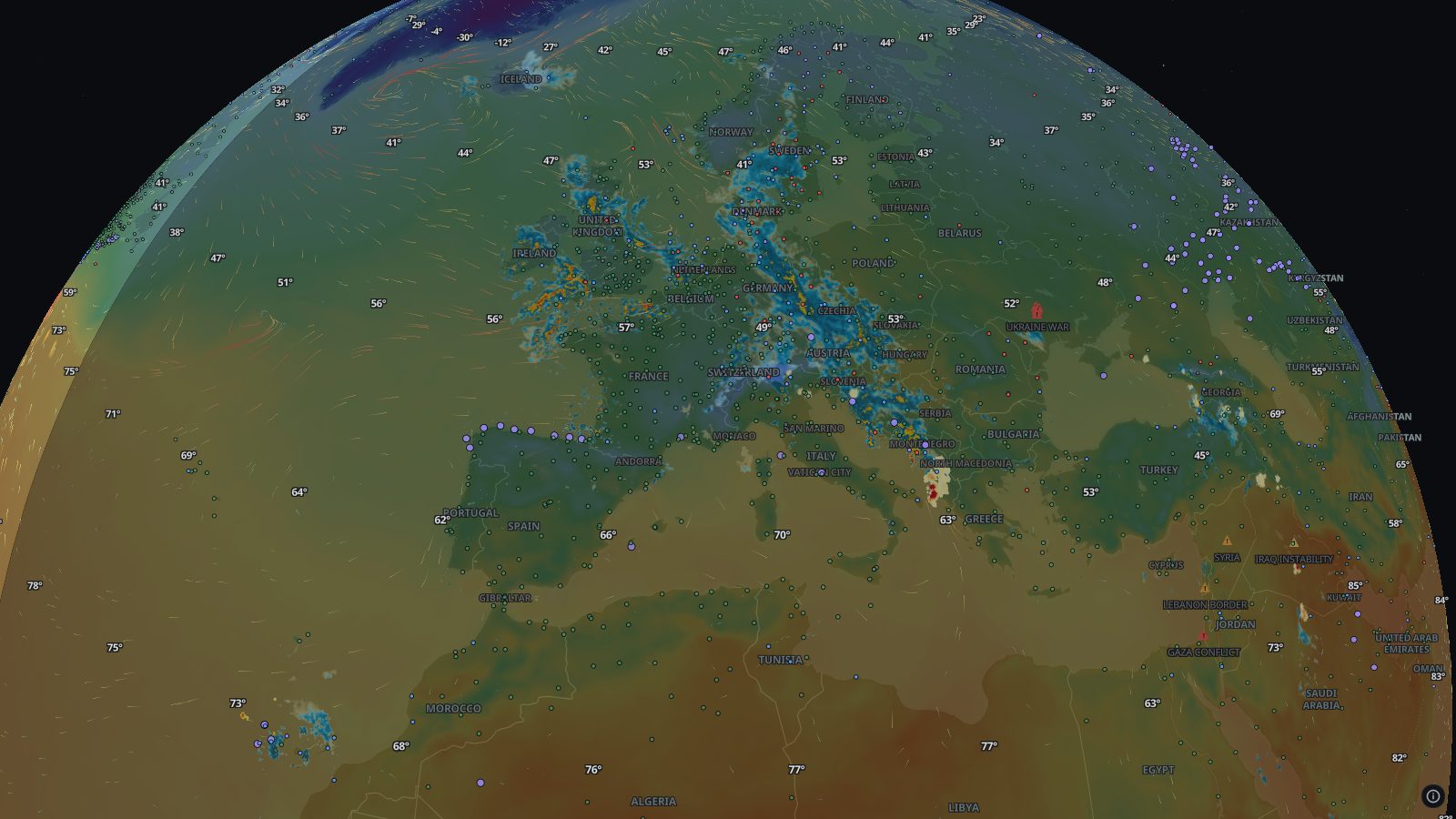
- The live map around you with radar, lightning, temperature, wind and warnings, and a link to your city’s weather page.
Where the data comes from
- MET NorwayThe forecast for your spot from Locationforecast: hourly for about two and a half days, then every six hours.
- Aviation Weather CenterThe latest METAR from the airport weather stations of the city nearest you.
- RainViewerA worldwide mosaic of national weather radar networks.
- NOAA nowCOAST, EUMETSATLightning from the NLDN and GLD360 networks and from the Lightning Imager on Meteosat-12.
Airport reports usually every hour, radar every 10 minutes, lightning every 5 to 15 minutes, and the forecast whenever MET Norway publishes a new one.
Good to know
- “Near you” goes by where your connection places you, which can be tens of kilometres out, until you share your device’s location.
- The forecast, and the temperature and wind on the map, are model values; the airport report, radar and lightning are measurements.
- The airport report is the nearest city’s, and there is none where no station reports within 30 km of that city.
- Radar and lightning don’t reach everywhere; their own pages list the gaps.
Weather, place by place
- Shanghai · China
- Chongqing · China
- Chengdu · China
- Beijing · China
- Shenzhen · China
- Kinshasa · Congo - Kinshasa
- Istanbul · Türkiye
- Lagos · Nigeria
- Ho Chi Minh City · Vietnam
- Tianjin · China
- Wuhan · China
- Lahore · Pakistan
- Xi’an · China
- Mumbai · India
- São Paulo · Brazil
- Mexico City · Mexico
- Hangzhou · China
- Karachi · Pakistan
- Delhi · India
- Moscow · Russia
- Dhaka · Bangladesh
- Seoul · South Korea
- Tokyo · Japan
- Cairo · Egypt
Goes well with
 Rain radarIs it raining near you? Live weather radar from RainViewer: rain and snow from ground radars worldwide over the last two hours, looping to show where it heads.
 Live lightning mapIs there lightning near you right now? A live lightning map from NOAA and EUMETSAT: strikes in the last 15 minutes across the Americas, Europe and Africa.
 Severe weather alertsSevere weather warnings on a live map: US and Canadian alerts, WMO and GDACS warnings, NASA EONET events and hurricane forecasts, all in one place.
 Temperature mapAir temperature 2 metres above the ground worldwide, from NOAA’s GFS model at 0.25°, on a live map with readings labelled across it in °C or °F.