 See it in 3D
Facts
- What it is
- Mountain
- Height above sea level
- 507 m (1,662 ft)
- Prominence
- 52 m (171 ft)
- Range
- Taunus
- Country
- Germany
- Coordinates
- 50.175°N 8.388°E
- Source
- Wikidata, CC0
Peaks near Atzelberg
- Rossert516 m · 1.5 km awayOn the map
- Großer Lindenkopf499 m · 3.7 km awayOn the map
- Glaskopf687 m · 5.2 km awayOn the map
- Kleiner Feldberg825 m · 6.6 km awayOn the map
- Weilsberg701 m · 6.9 km awayOn the map
- Altkönig798 m · 7.8 km awayOn the map
- Großer Feldberg879 m · 8 km awayOn the map
- Kellerskopf474 m · 8.5 km awayOn the map
- Hohe Kanzel592 m · 8.9 km awayOn the map
- Sängelberg665 m · 9.4 km awayOn the map
Highest in the Taunus
- Großer Feldberg879 mOn the map
- Langhals574 mOn the map
- Dreibornsköpfe548 mOn the map
- Atzelberg507 mOn the map
Highest mountains in Germany
- Zugspitze2,962 mOn the map
- Hochwanner2,744 mOn the map
- Dreitorspitze2,682 mOn the map
- Hochkalter2,607 mOn the map
- Biberkopf2,599 mOn the map
- Großer Hundstod2,594 mOn the map
- Hochvogel2,592 mOn the map
- Östliche Karwendelspitze2,538 mOn the map
- Hocheisspitze2,523 mOn the map
- Hoher Göll2,522 mOn the map
Webcams near Atzelberg
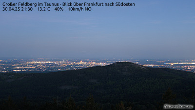



History around Atzelberg
Towns near Atzelberg
- Königstein im Taunus5.9 km away
- Kelkheim6.1 km away
- Kronberg Tal8.2 km away
- Kronberg8.9 km away
- Bad Soden am Taunus9.1 km away
- Idstein9.8 km away