Cloghernagh
800 m2,625 ft
Mountain · Wicklow Mountains · Ireland
Cloghernagh at 800 metres (2,600 ft), does not have the prominence to qualify as an Arderin, but does have the prominence to be the 40th–highest peak on the Vandeleur-Lynam scale.
From Wikipedia, CC BY-SA · Read the article
At the summit · forecast for 11:00 PM
10 °CRain · wind 37 km/h from the SW
 See it in 3D
Weather at the summit of Cloghernagh, 800 m
- 11:00 PM10 °CSW 37 km/h2.2 mm
- 2:00 AM6 °CSW 30 km/h0.3 mm
- 5:00 AM3 °CSW 28 km/h–
- 8:00 AM3 °CSW 33 km/h0.2 mm
- 11:00 AM5 °CW 31 km/h0.6 mm
- 2:00 PM5 °CW 28 km/h0.4 mm
- 5:00 PM4 °CW 26 km/h–
- 8:00 PM4 °CSW 27 km/h–
| Day | Sky | High / low | Rain | Wind up to |
|---|---|---|---|---|
| Tue, Oct 27 | Rain | 9 °C / 3 °C | 2.8 mm | 35 km/h |
| Wed, Oct 28 | Light rain | 9 °C / 4 °C | 1.2 mm | 29 km/h |
| Thu, Oct 29 | Light rain | 8 °C / 6 °C | 1.5 mm | 26 km/h |
| Fri, Oct 30 | Cloudy | 9 °C / 6 °C | 5 mm | 23 km/h |
| Sat, Oct 31 | Light rain | 6 °C / 3 °C | 0.7 mm | 6 km/h |
| Sun, Nov 1 | Partly cloudy | 5 °C / 1 °C | – | 11 km/h |
| Mon, Nov 2 | Mostly clear | 6 °C / 1 °C | – | 14 km/h |
Forecast by MET Norway (CC BY 4.0), updated 07:17 PM GMT. Times are local.
Facts
- What it is
- Mountain
- Height above sea level
- 800 m (2,625 ft)
- Prominence
- 15 m (49 ft)
- Range
- Wicklow Mountains
- Country
- Ireland
- Coordinates
- 52.967°N 6.426°W
- Source
- Wikidata, CC0
Cloghernagh
Mountain in County Wicklow, Ireland
Cloghernagh at 800 metres (2,600 ft), does not have the prominence to qualify as an Arderin, but does have the prominence to be the 40th–highest peak on the Vandeleur-Lynam scale. Cloghernagh is situated in the southern sector of the Wicklow Mountains range, and is part of the large massif of Lugnaquilla 925 metres (3,035 ft), Wicklow's highest mountain.
From Wikipedia, CC BY-SA · Read the article
Peaks near Cloghernagh
- Corrigasleggaun794 m · 1.3 km awayOn the map
- Lugnaquilla925 m · 2.5 km awayOn the map
- Benleagh689 m · 3 km awayOn the map
- Mullacor657 m · 4 km awayOn the map
- Slievemaan759 m · 4.2 km awayOn the map
- Camenabologue758 m · 5.4 km awayOn the map
- Conavalla734 m · 5.6 km awayOn the map
- Turlough Hill681 m · 6.3 km awayOn the map
- Table Mountain701 m · 6.7 km awayOn the map
- Camaderry699 m · 7.1 km awayOn the map
Highest in the Wicklow Mountains
- Lugnaquilla925 mOn the map
- Mullaghcleevaun849 mOn the map
- Cloghernagh800 mOn the map
- Camenabologue758 mOn the map
- Carrigvore682 mOn the map
- Keadeen Mountain653 mOn the map
Highest mountains in Ireland
Webcams near Cloghernagh
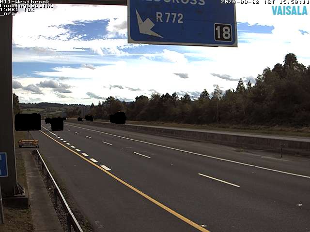
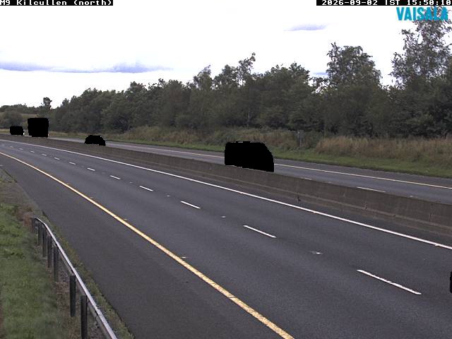
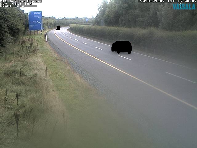

History around Cloghernagh
Towns near Cloghernagh
- Greystones31 km away
- Naas32 km away
- Bray34 km away
- Droichead Nua34 km away
- Tallaght36 km away
- Carlow36 km away