Mountains in Ireland
Mullacor
657 m2,156 ft
Mountain · Wicklow Mountains · Ireland
At the summit · forecast for 11:00 PM
11 °CRain · wind 37 km/h from the SW
 See it in 3D
Weather at the summit of Mullacor, 657 m
- 11:00 PM11 °CSW 37 km/h2.2 mm
- 2:00 AM7 °CSW 30 km/h0.3 mm
- 5:00 AM4 °CSW 28 km/h–
- 8:00 AM4 °CSW 33 km/h0.2 mm
- 11:00 AM6 °CW 31 km/h0.6 mm
- 2:00 PM6 °CW 28 km/h0.4 mm
- 5:00 PM5 °CW 26 km/h–
- 8:00 PM5 °CSW 27 km/h–
| Day | Sky | High / low | Rain | Wind up to |
|---|---|---|---|---|
| Tue, Oct 27 | Rain | 10 °C / 3 °C | 2.8 mm | 35 km/h |
| Wed, Oct 28 | Light rain | 10 °C / 5 °C | 1.2 mm | 29 km/h |
| Thu, Oct 29 | Light rain | 9 °C / 7 °C | 1.5 mm | 26 km/h |
| Fri, Oct 30 | Cloudy | 10 °C / 7 °C | 5 mm | 23 km/h |
| Sat, Oct 31 | Light rain | 7 °C / 4 °C | 0.7 mm | 6 km/h |
| Sun, Nov 1 | Partly cloudy | 6 °C / 2 °C | – | 11 km/h |
| Mon, Nov 2 | Mostly clear | 7 °C / 2 °C | – | 14 km/h |
Forecast by MET Norway (CC BY 4.0), updated 07:16 PM GMT. Times are local.
Facts
- What it is
- Mountain
- Height above sea level
- 657 m (2,156 ft)
- Prominence
- 102 m (335 ft)
- Isolation
- 3.3 km to higher ground
- Range
- Wicklow Mountains
- Country
- Ireland
- Coordinates
- 52.985°N 6.374°W
- Source
- Wikidata, CC0
Peaks near Mullacor
- Cloghernagh800 m · 4 km awayOn the map
- Camaderry699 m · 4.4 km awayOn the map
- Turlough Hill681 m · 5.2 km awayOn the map
- Corrigasleggaun794 m · 5.3 km awayOn the map
- Benleagh689 m · 5.4 km awayOn the map
- Conavalla734 m · 6.2 km awayOn the map
- Lugnaquilla925 m · 6.3 km awayOn the map
- Camenabologue758 m · 7.2 km awayOn the map
- Tonelagee817 m · 7.6 km awayOn the map
- Table Mountain701 m · 8 km awayOn the map
Highest in the Wicklow Mountains
- Lugnaquilla925 mOn the map
- Mullaghcleevaun849 mOn the map
- Camenabologue758 mOn the map
- Carrigvore682 mOn the map
- Mullacor657 mOn the map
- Keadeen Mountain653 mOn the map
Highest mountains in Ireland
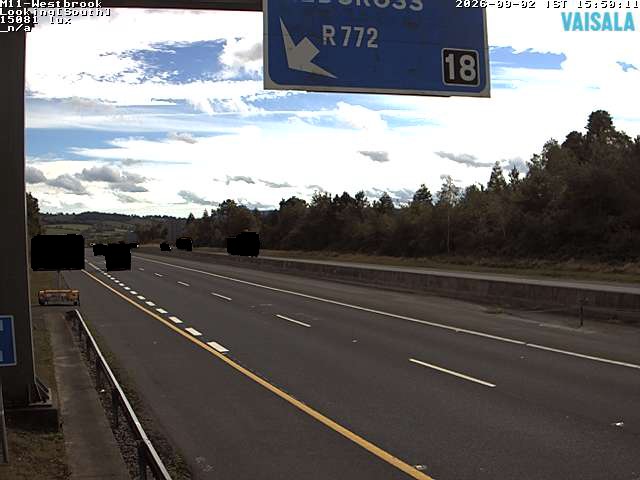
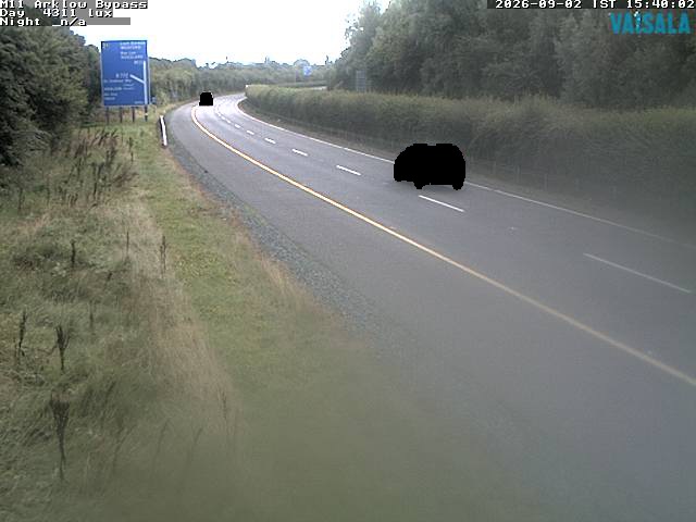
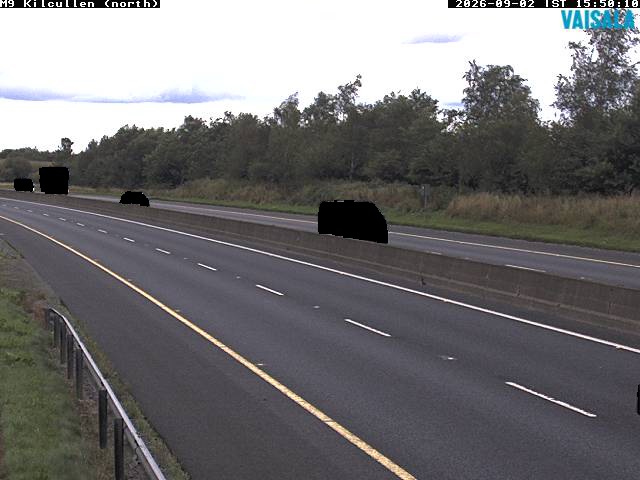
Webcams near Mullacor


History around Mullacor
Towns near Mullacor
- Greystones27 km away
- Bray30 km away
- Naas32 km away
- Tallaght33 km away
- Sandyford34 km away
- Rathfarnham36 km away