Facts
- What it is
- Mountain
- Height above sea level
- 836 m (2,743 ft)
- Range
- Upper Palatine Forest
- Country
- Germany
- Coordinates
- 49.507°N 12.574°E
- Source
- Wikidata, CC0
Peaks near Drechselberg
- Eisberg771 m · 13 km awayOn the map
- Čerchov1,042 m · 20 km awayOn the map
- Entenbühl901 m · 31 km awayOn the map
- Geissleite636 m · 31 km awayOn the map
- Monte Kaolino532 m · 44 km awayOn the map
- Basaltkegel Parkstein595 m · 44 km awayOn the map
- Kreuzfelsen999 m · 45 km awayOn the map
- Hadriwa (Bavarian Forest, Zell)677 m · 45 km awayOn the map
- Großer Riedelstein1,132 m · 48 km awayOn the map
- Mühlriegel1,080 m · 50 km awayOn the map
Highest in the Upper Palatine Forest
- Čerchov1,042 mOn the map
- Gibacht938 mOn the map
- Entenbühl901 mOn the map
- Signalberg888 mOn the map
- Burgfels Reichenstein NE von Stadlern874 mOn the map
- Velký zvon862 mOn the map
- Drechselberg836 mOn the map
- Eulenberg (Berg)817 mOn the map
- Stückstein808 mOn the map
Highest mountains in Germany
- Zugspitze2,962 mOn the map
- Hochwanner2,744 mOn the map
- Dreitorspitze2,682 mOn the map
- Hochkalter2,607 mOn the map
- Biberkopf2,599 mOn the map
- Großer Hundstod2,594 mOn the map
- Hochvogel2,592 mOn the map
- Östliche Karwendelspitze2,538 mOn the map
- Hocheisspitze2,523 mOn the map
- Hoher Göll2,522 mOn the map
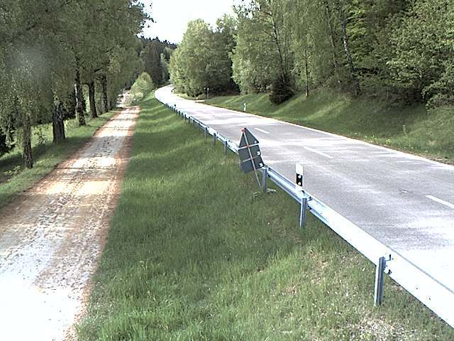
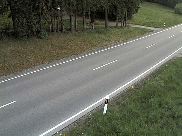
Webcams near Drechselberg
History around Drechselberg
Towns near Drechselberg
- Cham32 km away
- Weiden36 km away
- Schwandorf in Bayern39 km away
- Amberg52 km away
- Klatovy54 km away
- Sulzbach-Rosenberg60 km away