Mountains in Germany
Gibacht
938 m3,077 ft
Mountain · Upper Palatine Forest · Germany
Der Kreuzfelsen ist mit 938 m ü. NHN die höchste Erhebung im deutschen Teil des Oberpfälzer Walds. Auf seinem Gipfel befindet sich eine markante Felsformation und auf dieser ein großes Gipfelkreuz, an dem eine Christusfigur angebracht ist.
From German Wikipedia, CC BY-SA · Read the article
At the summit · forecast for 6:00 AM
3 °CCloudy · wind 9 km/h from the SW
 See it in 3D
Weather at the summit of Gibacht, 938 m
- 6:00 AM3 °CSW 9 km/h–
- 9:00 AM6 °CSW 8 km/h–
- 12:00 PM10 °CS 9 km/h–
- 3:00 PM11 °CSW 6 km/h–
- 6:00 PM6 °CSE 6 km/h–
- 9:00 PM3 °CSE 6 km/h–
- 12:00 AM1 °CE 6 km/h–
- 3:00 AM1 °CS 6 km/h–
| Day | Sky | High / low | Rain | Wind up to |
|---|---|---|---|---|
| Today | Clear | 11 °C / 2 °C | – | 9 km/h |
| Wed, Oct 28 | Cloudy | 6 °C / 0 °C | 2.4 mm | 12 km/h |
| Thu, Oct 29 | Mostly clear | 7 °C / 0 °C | – | 10 km/h |
| Fri, Oct 30 | Mostly clear | 6 °C / -1 °C | – | 15 km/h |
| Sat, Oct 31 | Mostly clear | 7 °C / 1 °C | – | 18 km/h |
| Sun, Nov 1 | Partly cloudy | 8 °C / -2 °C | – | 12 km/h |
| Mon, Nov 2 | Clear | 7 °C / -2 °C | – | 4 km/h |
Forecast by MET Norway (CC BY 4.0), updated 02:17 AM GMT+1. Times are local.
Facts
- What it is
- Mountain
- Height above sea level
- 938 m (3,077 ft)
- Range
- Upper Palatine Forest
- Country
- Germany
- Coordinates
- 49.334°N 12.782°E
- Source
- Wikidata, CC0
Peaks near Gibacht
- Čerchov1,042 m · 5.5 km awayOn the map
- Kreuzfelsen999 m · 20 km awayOn the map
- Großer Riedelstein1,132 m · 23 km awayOn the map
- Mühlriegel1,080 m · 26 km awayOn the map
- Ödriegel1,156 m · 26 km awayOn the map
- Osser1,293 m · 28 km awayOn the map
- Weigelsberg898 m · 29 km awayOn the map
- Schwarzeck1,236 m · 29 km awayOn the map
- Heugstatt1,262 m · 31 km awayOn the map
- Hochstein1,134 m · 31 km awayOn the map
Highest in the Upper Palatine Forest
- Čerchov1,042 mOn the map
- Gibacht938 mOn the map
- Entenbühl901 mOn the map
- Signalberg888 mOn the map
- Burgfels Reichenstein NE von Stadlern874 mOn the map
- Velký zvon862 mOn the map
- Drechselberg836 mOn the map
- Eulenberg (Berg)817 mOn the map
- Stückstein808 mOn the map
Highest mountains in Germany
- Zugspitze2,962 mOn the map
- Hochwanner2,744 mOn the map
- Dreitorspitze2,682 mOn the map
- Hochkalter2,607 mOn the map
- Biberkopf2,599 mOn the map
- Großer Hundstod2,594 mOn the map
- Hochvogel2,592 mOn the map
- Östliche Karwendelspitze2,538 mOn the map
- Hocheisspitze2,523 mOn the map
- Hoher Göll2,522 mOn the map
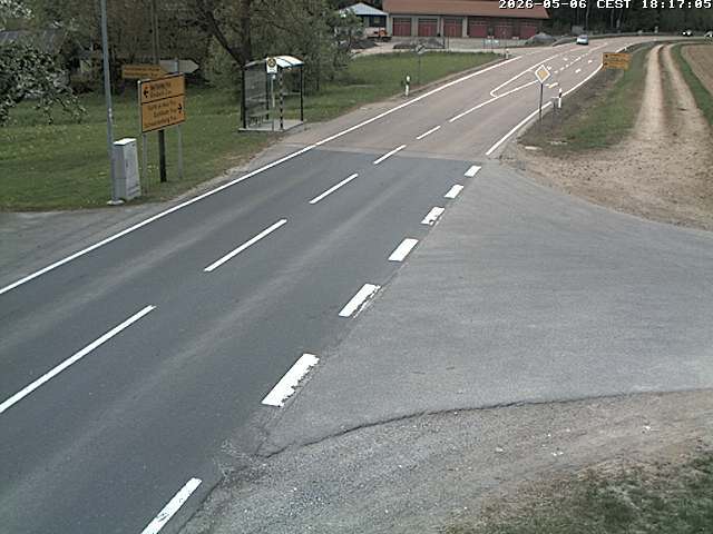
Webcams near Gibacht

History around Gibacht
Towns near Gibacht
- Cham15 km away
- Klatovy38 km away
- Schwandorf in Bayern49 km away
- Straubing53 km away
- Deggendorf56 km away
- Weiden59 km away