Glurnser Köpf
2,395 m7,858 ft
Mountain · Umbrailgruppe · Italy
Das Glurnser Köpfl ist ein 2395 m hoher Berg in den nördlichen Ortler-Alpen im Westen Südtirols. Es bildet den nördlichsten Gipfel des Chavalatschkamms, einer am Stilfser Joch im Süden beginnenden Bergkette.
From German Wikipedia, CC BY-SA · Read the article
At the summit · forecast for 11:00 PM
-2 °CPartly cloudy · wind 5 km/h from the W
 See it in 3D
Weather at the summit of Glurnser Köpf, 2,395 m
- 11:00 PM-2 °CW 5 km/h–
- 2:00 AM-3 °CW 5 km/h–
- 5:00 AM-4 °CW 6 km/h–
- 8:00 AM-1 °CW 6 km/h–
- 11:00 AM6 °CNW 6 km/h–
- 2:00 PM8 °CN 8 km/h–
- 5:00 PM3 °CN 7 km/h–
- 8:00 PM0 °CNW 5 km/h–
| Day | Sky | High / low | Rain | Wind up to |
|---|---|---|---|---|
| Wed, Oct 28 | Mostly clear | 8 °C / -4 °C | – | 9 km/h |
| Thu, Oct 29 | Clear | 7 °C / -4 °C | – | 8 km/h |
| Fri, Oct 30 | Clear | 4 °C / -6 °C | – | 6 km/h |
| Sat, Oct 31 | Clear | 6 °C / -6 °C | – | 3 km/h |
| Sun, Nov 1 | Clear | 6 °C / -7 °C | – | 6 km/h |
| Mon, Nov 2 | Clear | 4 °C / -6 °C | – | 9 km/h |
| Tue, Nov 3 | Mostly clear | 3 °C / -7 °C | – | 8 km/h |
Forecast by MET Norway (CC BY 4.0), updated 08:17 PM GMT+1. Times are local.
Facts
- What it is
- Mountain
- Height above sea level
- 2,395 m (7,858 ft)
- Range
- Umbrailgruppe
- Country
- Italy
- Coordinates
- 46.646°N 10.519°E
- Source
- Wikidata, CC0
Glurnser Köpfl
Berg in den Alpen
Das Glurnser Köpfl ist ein 2395 m hoher Berg in den nördlichen Ortler-Alpen im Westen Südtirols. Es bildet den nördlichsten Gipfel des Chavalatschkamms, einer am Stilfser Joch im Süden beginnenden Bergkette. Das im Nationalpark Stilfserjoch unter Schutz gestellte Köpfl ist von den umliegenden Orten aus leicht zu erreichen und daher ein oft besuchtes Wanderziel.
From German Wikipedia, CC BY-SA · Read the article
Peaks near Glurnser Köpf
- Piz Sesvenna3,204 m · 11 km awayOn the map
- Piz da las Trais Linguas2,843 m · 14 km awayOn the map
- Ortler3,905 m · 15 km awayOn the map
- Königspitze3,851 m · 19 km awayOn the map
- Saldurspitze3,433 m · 20 km awayOn the map
- Äußerer Bärenbartkogel3,473 m · 22 km awayOn the map
- Schwemser Spitze3,459 m · 22 km awayOn the map
- Piz Lad2,808 m · 23 km awayOn the map
- Weißkugel3,738 m · 23 km awayOn the map
- Monte Cevedale3,769 m · 23 km awayOn the map
Highest in the Umbrailgruppe
- Piz Murtaröl3,180 mOn the map
- Piz Tea Fondada3,144 mOn the map
- Monte Cassa del Ferro3,140 mOn the map
- Piz Schumbraida3,125 mOn the map
- Piz Daint2,968 mOn the map
- Piz Turettas2,963 mOn the map
- Piz Val Gronda2,878 mOn the map
- Cima del Serraglio2,685 mOn the map
- Glurnser Köpf2,395 mOn the map
Highest mountains in Italy
- Mont Blanc4,806 mOn the map
- Lyskamm4,532 mOn the map
- Matterhorn4,478 mOn the map
- Pointe Walker4,208 mOn the map
- Grandes Jorasses4,208 mOn the map
- Dent d'Hérens4,173 mOn the map
- Breithorn4,160 mOn the map
- Glurnser Köpf2,395 mOn the map
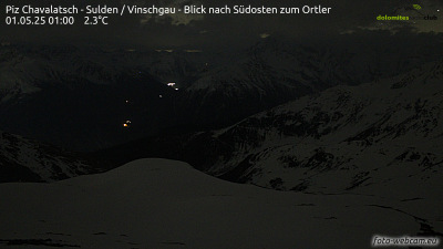
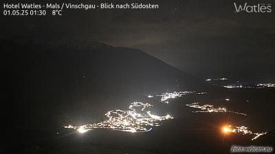
Webcams near Glurnser Köpf


History around Glurnser Köpf
- Battle of Calven1499
- massacre de Lasa1945