Facts
- What it is
- Mountain
- Height above sea level
- 5,686 ft (1,733 m)
- Range
- Cascade Range
- Country
- United States
- Coordinates
- 46.684°N 121.901°W
- Source
- Wikidata, CC0
Peaks near High Rock
- Tumtum Peak4,610 ft · 7.7 km awayOn the map
- Eagle Peak5,955 ft · 12 km awayOn the map
- Chutla Peak6,007 ft · 12 km awayOn the map
- Wahpenayo Peak6,221 ft · 12 km awayOn the map
- Iron Mountain6,286 ft · 13 km awayOn the map
- Copper Mountain6,302 ft · 14 km awayOn the map
- Lane Peak6,012 ft · 14 km awayOn the map
- Denman Peak6,006 ft · 15 km awayOn the map
- Pyramid Peak6,936 ft · 15 km awayOn the map
- Pinnacle Peak6,562 ft · 15 km awayOn the map
Highest in the Cascade Range
- Mount Rainier14,400 ftOn the map
- Mount Adams12,280 ftOn the map
- Mount McLoughlin9,495 ftOn the map
- Mount Thielsen9,183 ftOn the map
- Broken Top9,177 ftOn the map
- Black Peak8,976 ftOn the map
- Dome Peak8,921 ftOn the map
- Silver Star Mountain8,875 ftOn the map
- High Rock5,686 ftOn the map
Highest mountains in United States
- Denali20,308 ftOn the map
- Mount Saint Elias18,009 ftOn the map
- Mount Foraker17,402 ftOn the map
- Mount Bona16,535 ftOn the map
- Mount Blackburn16,390 ftOn the map
- Mount Sanford16,237 ftOn the map
- Mount Vancouver15,787 ftOn the map
- Mount Churchill15,636 ftOn the map
- Mount Fairweather15,325 ftOn the map
- Mount Hubbard14,951 ftOn the map
Webcams near High Rock
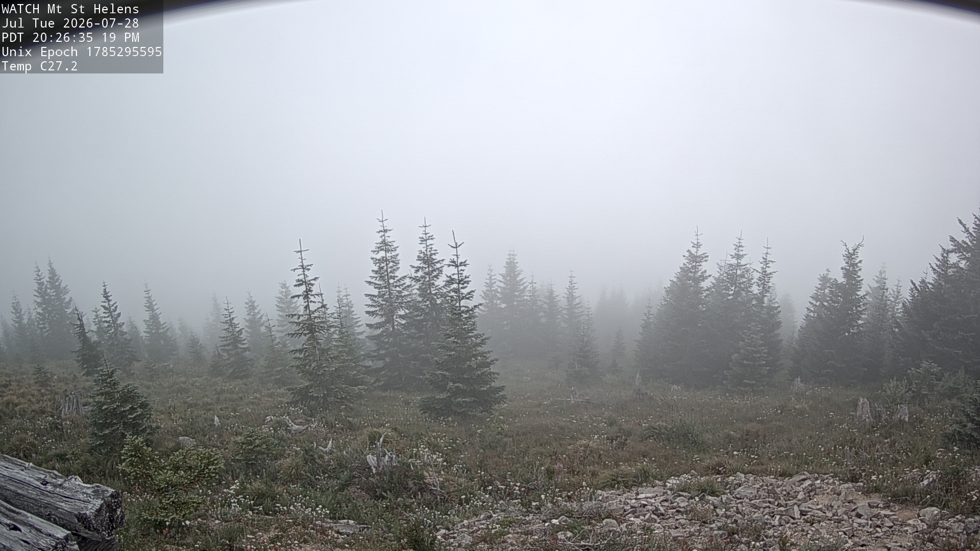
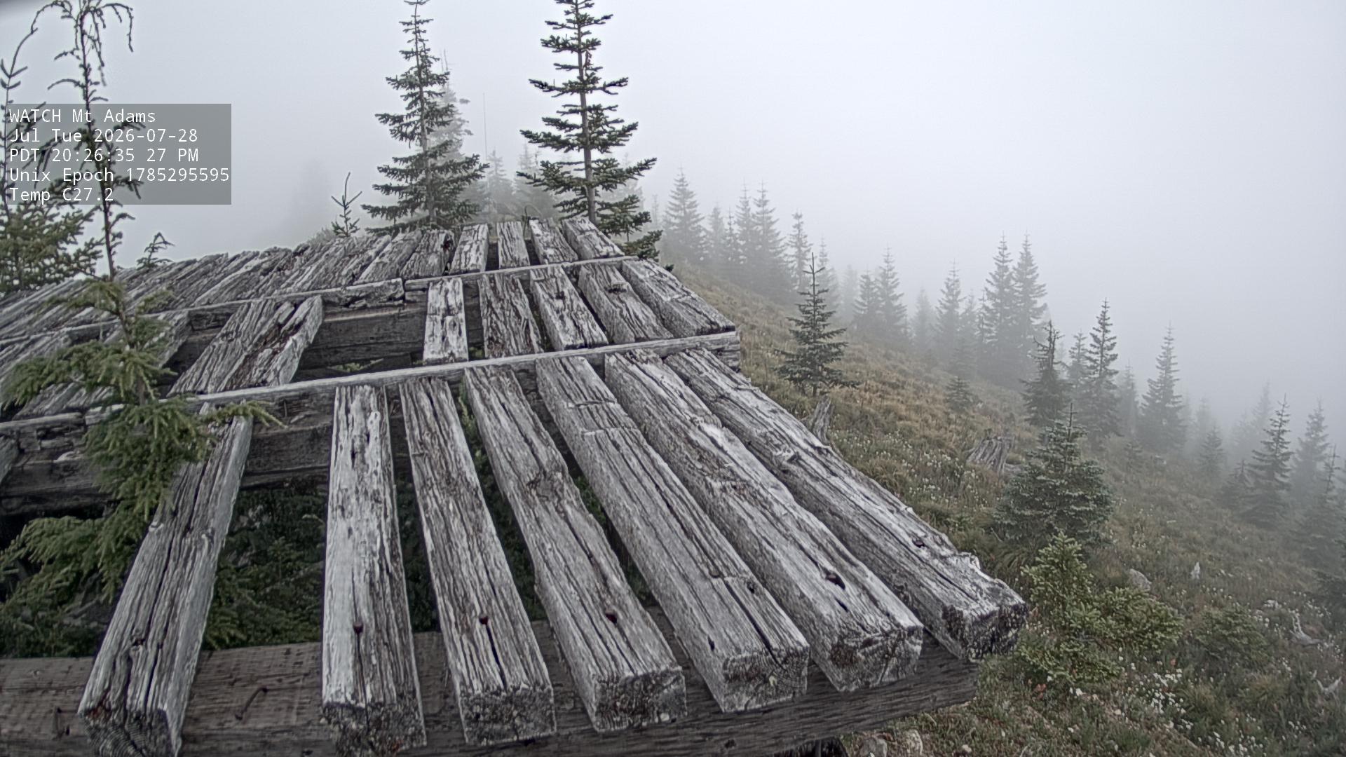
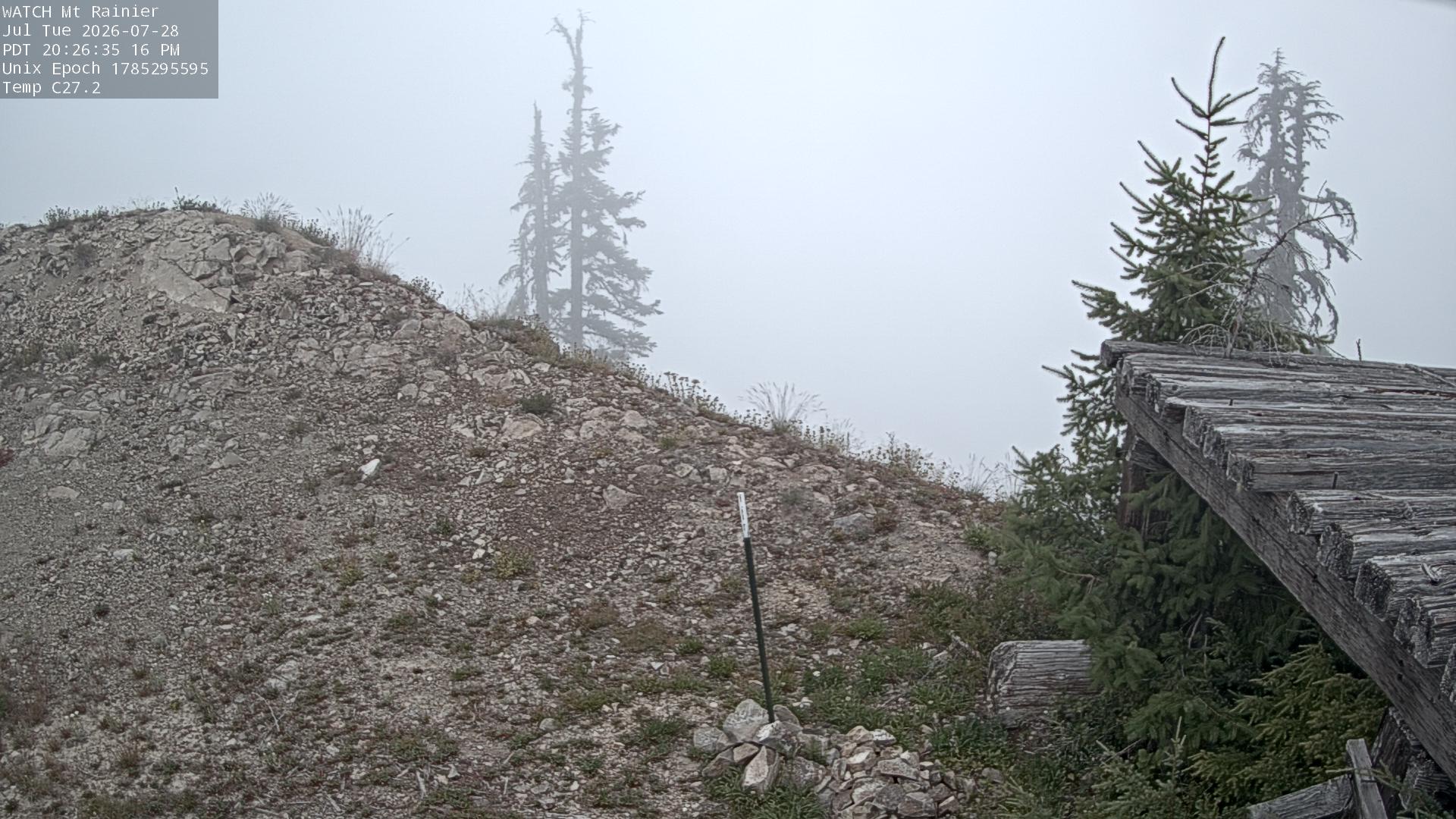
Towns near High Rock
- Graham51 km away
- Orting52 km away
- Frederickson57 km away
- Enumclaw58 km away
- South Hill58 km away
- Bonney Lake59 km away