Facts
- What it is
- Hill
- Country
- Germany
- Coordinates
- 49.273°N 11.392°E
- Source
- Wikidata, CC0
Peaks near Hohe Ahnt
- Buchberg591 m · 4.6 km awayOn the map
- Dillberg595 m · 5.8 km awayOn the map
- Ottenberg588 m · 8.9 km awayOn the map
- Göschberg621 m · 18 km awayOn the map
- Moritzberg604 m · 22 km awayOn the map
- Schmausenbuck390 m · 26 km awayOn the map
- Arzberg510 m · 28 km awayOn the map
- Monte Kaolino532 m · 51 km awayOn the map
- Ehrenbürg532 m · 52 km awayOn the map
- Gelber Berg628 m · 52 km awayOn the map
Highest mountains in Germany
- Zugspitze2,962 mOn the map
- Hochwanner2,744 mOn the map
- Dreitorspitze2,682 mOn the map
- Hochkalter2,607 mOn the map
- Biberkopf2,599 mOn the map
- Großer Hundstod2,594 mOn the map
- Hochvogel2,592 mOn the map
- Östliche Karwendelspitze2,538 mOn the map
- Hocheisspitze2,523 mOn the map
- Hoher Göll2,522 mOn the map
Webcams near Hohe Ahnt

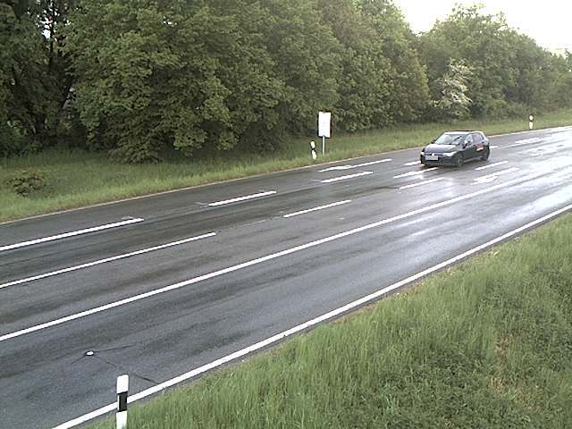

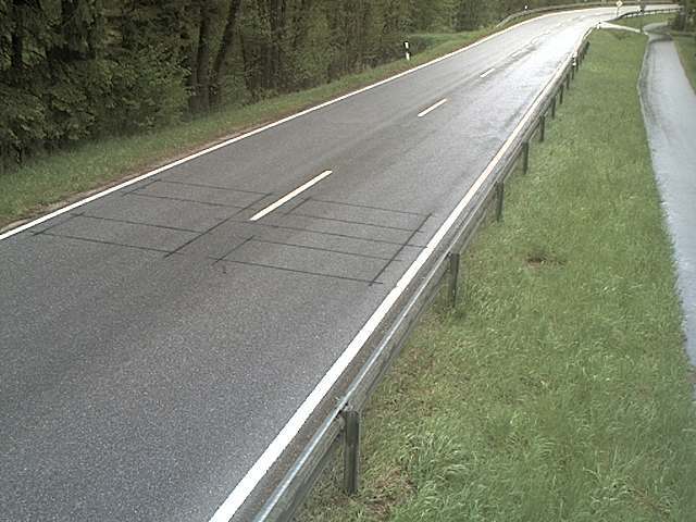
History around Hohe Ahnt
Towns near Hohe Ahnt
- Neumarkt in der Oberpfalz5.2 km away
- Altdorf bei Nürnberg13 km away
- Wendelstein20 km away
- Roth22 km away
- Schwabach27 km away
- Lauf an der Pegnitz28 km away