Hohe Warte
463 m1,519 ft
Mountain · Fichtel Mountains · Germany
The Hohe Warte is a largely forested upland with four striking hills on the southwestern fringe of the Fichtel Mountains located in northern Bavaria, near Bayreuth. Its highest peak is the Hirschberg.
From Wikipedia, CC BY-SA · Read the article
At the summit · forecast for 4:00 AM
6 °CCloudy · wind 12 km/h from the SE
 See it in 3D
Weather at the summit of Hohe Warte, 463 m
- 4:00 AM6 °CSE 12 km/h–
- 7:00 AM7 °CSE 11 km/h–
- 10:00 AM9 °CSE 11 km/h–
- 1:00 PM13 °CSE 12 km/h–
- 4:00 PM12 °CSE 10 km/h–
- 7:00 PM8 °CSE 14 km/h–
- 10:00 PM7 °CSE 13 km/h–
- 1:00 AM5 °CSE 10 km/h–
| Day | Sky | High / low | Rain | Wind up to |
|---|---|---|---|---|
| Today | Partly cloudy | 14 °C / 6 °C | – | 14 km/h |
| Wed, Oct 28 | Cloudy | 11 °C / 4 °C | 3.4 mm | 13 km/h |
| Thu, Oct 29 | Mostly clear | 11 °C / 0 °C | – | 8 km/h |
| Fri, Oct 30 | Mostly clear | 12 °C / -0 °C | – | 6 km/h |
| Sat, Oct 31 | Partly cloudy | 11 °C / 2 °C | – | 8 km/h |
| Sun, Nov 1 | Partly cloudy | 9 °C / -1 °C | – | 5 km/h |
| Mon, Nov 2 | Partly cloudy | 9 °C / 3 °C | – | 7 km/h |
Forecast by MET Norway (CC BY 4.0), updated 02:17 AM GMT+1. Times are local.
Facts
- What it is
- Mountain
- Height above sea level
- 463 m (1,519 ft)
- Range
- Fichtel Mountains
- Country
- Germany
- Coordinates
- 49.968°N 11.575°E
- Source
- Wikidata, CC0
Hohe Warte (ridge)
The Hohe Warte is a largely forested upland with four striking hills on the southwestern fringe of the Fichtel Mountains located in northern Bavaria, near Bayreuth. Its highest peak is the Hirschberg. About 60% of the ridge lies on the territory of the parish of Bindlach, the other 40% is divided between the town of Bayreuth and the parish of Heinersreuth.
From Wikipedia, CC BY-SA · Read the article
Peaks near Hohe Warte
- Hohe Warte547 m · 11 km awayOn the map
- Fürstenstein675 m · 11 km awayOn the map
- Neubürg580 m · 15 km awayOn the map
- Ochsenkopf1,024 m · 18 km awayOn the map
- Weißenstein661 m · 20 km awayOn the map
- Haberstein924 m · 21 km awayOn the map
- Kleiner Kulm627 m · 21 km awayOn the map
- Schneeberg1,051 m · 22 km awayOn the map
- Nußhardt972 m · 22 km awayOn the map
- Seehügel953 m · 23 km awayOn the map
Highest in the Fichtel Mountains
- Schneeberg1,051 mOn the map
- Kösseine939 mOn the map
- Großer Waldstein877 mOn the map
- Rudolfstein866 mOn the map
- Bergkopf857 mOn the map
- Großer Kornberg827 mOn the map
- Epprechtstein797 mOn the map
- Rosskopf725 mOn the map
- Hohe Warte463 mOn the map
Highest mountains in Germany
- Zugspitze2,962 mOn the map
- Hochwanner2,744 mOn the map
- Dreitorspitze2,682 mOn the map
- Hochkalter2,607 mOn the map
- Biberkopf2,599 mOn the map
- Großer Hundstod2,594 mOn the map
- Hochvogel2,592 mOn the map
- Östliche Karwendelspitze2,538 mOn the map
- Hocheisspitze2,523 mOn the map
- Hoher Göll2,522 mOn the map
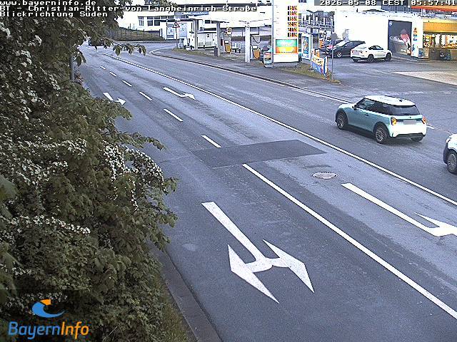
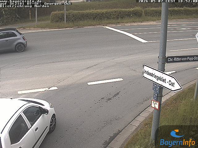
Webcams near Hohe Warte
History around Hohe Warte
Towns near Hohe Warte
- Bayreuth2.3 km away
- Kulmbach17 km away
- Kronach35 km away
- Marktredwitz37 km away
- Lichtenfels42 km away
- Hof45 km away