Mountains in Germany
Kickelhahn
861 m2,825 ft
Mountain · Thuringian Forest · Germany
Kickelhahn is a mountain in the northern edge of the Central Thuringian Forest in the municipal area of Ilmenau, Germany. Its summit has an altitude of 861.1 metres (2,825 ft) a.s.l.
From Wikipedia, CC BY-SA · Read the article
At the summit · forecast for 6:00 AM
5 °CCloudy · wind 18 km/h from the SW
 See it in 3D
Weather at the summit of Kickelhahn, 861 m
- 6:00 AM5 °CSW 18 km/h–
- 9:00 AM8 °CSW 18 km/h–
- 12:00 PM11 °CSW 19 km/h–
- 3:00 PM11 °CSW 16 km/h–
- 6:00 PM7 °CS 15 km/h–
- 9:00 PM8 °CSW 20 km/h–
- 12:00 AM6 °CSW 17 km/h–
- 3:00 AM6 °CSW 10 km/h0.9 mm
| Day | Sky | High / low | Rain | Wind up to |
|---|---|---|---|---|
| Today | Partly cloudy | 11 °C / 5 °C | – | 20 km/h |
| Wed, Oct 28 | Mostly clear | 9 °C / 3 °C | 3.4 mm | 17 km/h |
| Thu, Oct 29 | Clear | 9 °C / 2 °C | – | 10 km/h |
| Fri, Oct 30 | Partly cloudy | 9 °C / 2 °C | – | 8 km/h |
| Sat, Oct 31 | Partly cloudy | 8 °C / 1 °C | – | 8 km/h |
| Sun, Nov 1 | Partly cloudy | 10 °C / -1 °C | 0.1 mm | 13 km/h |
| Mon, Nov 2 | Partly cloudy | 6 °C / 3 °C | 0.1 mm | 14 km/h |
Forecast by MET Norway (CC BY 4.0), updated 02:17 AM GMT+1. Times are local.
Facts
- What it is
- Mountain
- Height above sea level
- 861 m (2,825 ft)
- Prominence
- 145 m (476 ft)
- Range
- Thuringian Forest
- Country
- Germany
- Coordinates
- 50.666°N 10.881°E
- Source
- Wikidata, CC0
Peaks near Kickelhahn
- Ehrenberg528 m · 5 km awayOn the map
- Großer Finsterberg944 m · 6.6 km awayOn the map
- Schneekopf978 m · 8.2 km awayOn the map
- Großer Beerberg983 m · 9.6 km awayOn the map
- Heydaer Berg605 m · 10 km awayOn the map
- Simmersberg781 m · 18 km awayOn the map
- Großer Hermannsberg867 m · 19 km awayOn the map
- Schneeberg692 m · 20 km awayOn the map
- Großer Farmdenkopf869 m · 20 km awayOn the map
- Hettstädt808 m · 22 km awayOn the map
Highest in the Thuringian Forest
- Großer Beerberg983 mOn the map
- Ruppberg866 mOn the map
- Kickelhahn861 mOn the map
- Dreiherrnstein838 mOn the map
- Großer Hundskopf824 mOn the map
- Reischelberg821 mOn the map
- Pferdeberg805 mOn the map
- Kohlhieb790 mOn the map
- Simmersberg781 mOn the map
Highest mountains in Germany
- Zugspitze2,962 mOn the map
- Hochwanner2,744 mOn the map
- Dreitorspitze2,682 mOn the map
- Hochkalter2,607 mOn the map
- Biberkopf2,599 mOn the map
- Großer Hundstod2,594 mOn the map
- Hochvogel2,592 mOn the map
- Östliche Karwendelspitze2,538 mOn the map
- Hocheisspitze2,523 mOn the map
- Hoher Göll2,522 mOn the map
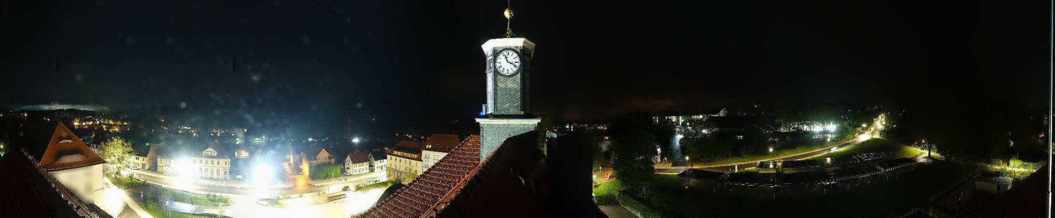
Webcams near Kickelhahn




History around Kickelhahn
Towns near Kickelhahn
- Ilmenau3.3 km away
- Suhl15 km away
- Arnstadt20 km away
- Schmalkalden31 km away
- Rudolstadt33 km away
- Gotha34 km away