Mountains in Germany
Ruppberg
866 m2,841 ft
Mountain · Thuringian Forest · Germany
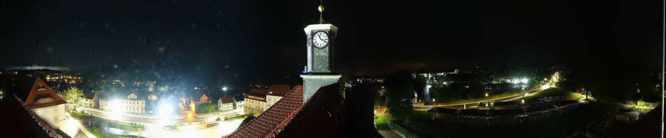
Der Ruppberg ist ein 866 m ü. NHN hoher Berg im Thüringer Wald. Er liegt in den Stadtgebieten von Steinbach-Hallenberg und Zella-Mehlis im thüringischen Landkreis Schmalkalden-Meiningen.
From German Wikipedia, CC BY-SA · Read the article
 See it in 3D
Facts
- What it is
- Mountain
- Height above sea level
- 866 m (2,841 ft)
- Range
- Thuringian Forest
- Country
- Germany
- Coordinates
- 50.684°N 10.639°E
- Source
- Wikidata, CC0
Peaks near Ruppberg
- Großer Hermannsberg867 m · 2.6 km awayOn the map
- Großer Beerberg983 m · 8 km awayOn the map
- Schneekopf978 m · 9.1 km awayOn the map
- Großer Finsterberg944 m · 12 km awayOn the map
- Schneeberg692 m · 14 km awayOn the map
- Kickelhahn861 m · 17 km awayOn the map
- Ehrenberg528 m · 22 km awayOn the map
- Heydaer Berg605 m · 22 km awayOn the map
- Großer Inselsberg917 m · 22 km awayOn the map
- Hopfenberg536 m · 25 km awayOn the map
Highest in the Thuringian Forest
- Großer Beerberg983 mOn the map
- Ruppberg866 mOn the map
- Dreiherrnstein838 mOn the map
- Großer Hundskopf824 mOn the map
- Reischelberg821 mOn the map
- Pferdeberg805 mOn the map
- Kohlhieb790 mOn the map
- Simmersberg781 mOn the map
- Schwefel-Kopf774 mOn the map
Highest mountains in Germany
- Zugspitze2,962 mOn the map
- Hochwanner2,744 mOn the map
- Dreitorspitze2,682 mOn the map
- Hochkalter2,607 mOn the map
- Biberkopf2,599 mOn the map
- Großer Hundstod2,594 mOn the map
- Hochvogel2,592 mOn the map
- Östliche Karwendelspitze2,538 mOn the map
- Hocheisspitze2,523 mOn the map
- Hoher Göll2,522 mOn the map