Kīlauea
4,091 ft1,247 m
Volcano · Hawaiian–Emperor seamount chain · United States
Kīlauea is an active shield volcano in the Hawaiian Islands, located along the southeastern shore of Hawaii Island. The volcano is between 210,000 and 280,000 years old and grew above sea level about 100,000 years ago.
From Wikipedia, CC BY-SA · Read the article
At the summit · forecast for 5:00 AM
60 °FLight rain · wind 4 mph from the NW
 See it in 3D
Weather at the summit of Kīlauea, 4,091 ft
- 5:00 AM60 °FNW 4 mph0 in
- 8:00 AM64 °FSW 5 mph–
- 11:00 AM69 °FSW 7 mph–
- 2:00 PM70 °FSW 6 mph0.03 in
- 5:00 PM64 °FS 6 mph0.02 in
- 8:00 PM64 °FSE 6 mph0 in
- 11:00 PM64 °FSW 5 mph0.05 in
- 2:00 AM63 °FSW 4 mph0.04 in
| Day | Sky | High / low | Rain | Wind up to |
|---|---|---|---|---|
| Today | Cloudy | 70 °F / 60 °F | 0.07 in | 8 mph |
| Wed, Oct 28 | Heavy rain | 64 °F / 62 °F | 0.85 in | 15 mph |
| Thu, Oct 29 | Heavy rain | 67 °F / 64 °F | 0.99 in | 8 mph |
| Fri, Oct 30 | Heavy rain | 66 °F / 63 °F | 1.39 in | 5 mph |
| Sat, Oct 31 | Heavy rain | 65 °F / 62 °F | 0.53 in | 4 mph |
| Sun, Nov 1 | Light rain | 63 °F / 60 °F | 0.23 in | 6 mph |
| Mon, Nov 2 | Cloudy | 66 °F / 60 °F | 0.03 in | 12 mph |
Forecast by MET Norway (CC BY 4.0), updated 03:17 PM HST. Times are local.
Facts
- What it is
- Volcano
- Height above sea level
- 4,091 ft (1,247 m)
- Range
- Hawaiian–Emperor seamount chain
- Country
- United States
- Coordinates
- 19.421°N 155.287°W
- Volcano number
- 332010 at the Global Volcanism Program
- Source
- Wikidata, CC0
Kīlauea
Active volcano in Hawaii
Kīlauea is an active shield volcano in the Hawaiian Islands, located along the southeastern shore of Hawaii Island. The volcano is between 210,000 and 280,000 years old and grew above sea level about 100,000 years ago. Since the islands were settled, it has been the most active of the five volcanoes that together form the island and among the most active volcanoes on Earth.
From Wikipedia, CC BY-SA · Read the article
86 recorded eruptions
- Eruption in 2024
- Eruption in 2024
- Eruption in 2024
- Eruption in 2021
- Eruption in 2020
- Eruption in 2018
- Eruption in 2018
- Eruption in 2018
- Eruption in 2014
- Eruption in 2012
- Eruption in 2012
- Eruption in 2009
The latest 12 of 86, from the Smithsonian’s Global Volcanism Program through History.
Peaks near Kīlauea
- Mauna Ulu3,360 ft · 11 km awayOn the map
- Puʻu ʻŌʻō2,290 ft · 19 km awayOn the map
- Mauna Loa13,679 ft · 34 km awayOn the map
- Mauna Kea13,803 ft · 48 km awayOn the map
- Pu'u'oke'oke'o6,716 ft · 53 km awayOn the map
- Puʻu Huluhulu3,440 ft · 10 km awayOn the map
- Maunaiki2,992 ft · 11 km awayOn the map
- KamoamoaVolcano · 17 km awayOn the map
- Puu Kamoamoa2,047 ft · 19 km awayOn the map
- Great CrackVolcano · 31 km awayOn the map
Highest in the Hawaiian–Emperor seamount chain
- Mauna Kea13,803 ftOn the map
- Mauna Loa13,679 ftOn the map
- Haleakalā10,023 ftOn the map
- Hualālai8,271 ftOn the map
- Kohala5,479 ftOn the map
- Kawaikini5,243 ftOn the map
- Mount Waialeale5,148 ftOn the map
- Kamakou4,961 ftOn the map
- Kīlauea4,091 ftOn the map
Highest mountains in United States
- Denali20,308 ftOn the map
- Mount Saint Elias18,009 ftOn the map
- Mount Foraker17,402 ftOn the map
- Mount Bona16,535 ftOn the map
- Mount Blackburn16,390 ftOn the map
- Mount Sanford16,237 ftOn the map
- Mount Vancouver15,787 ftOn the map
- Mount Churchill15,636 ftOn the map
- Mount Fairweather15,325 ftOn the map
- Mount Hubbard14,951 ftOn the map
Webcams near Kīlauea
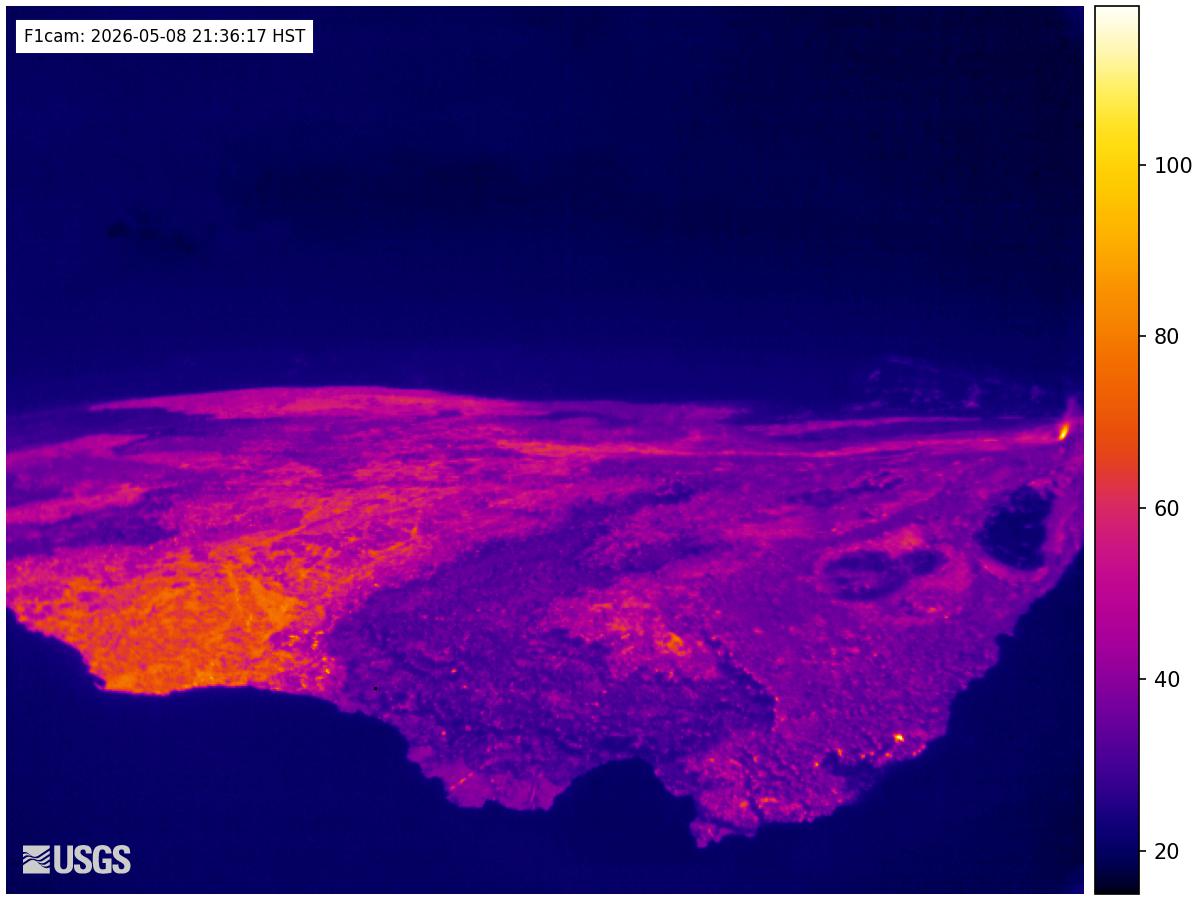 Kilauea - F1 Cam0 km from the summit
 Kilauea - KW Cam0 km from the summit
 NEON Site - D20 (Pacific Tropical) Pu`u Maka`ala Natural Area Reserve, Hawaii - top-of-tower camera15 km from the summit
 NEON Site - D20 (Pacific Tropical) Pu`u Maka`ala Natural Area Reserve , Hawaii - mid-tower camera15 km from the summit
Towns near Kīlauea
- Hilo40 km away