Mountains in United States
Mauna Ulu
3,360 ft1,024 m
Volcano · United States
Maunaulu, also known as Mauna Ulu, is a volcanic cone in the eastern rift zone of the Kīlauea volcano on the island of Hawaiʻi. It falls within the bounds of Hawaiʻi Volcanoes National Park. Maunaulu was in a state of eruption from May 1969 to July 1974.
From Wikipedia, CC BY-SA · Read the article
At the summit · forecast for 2:00 AM
62 °FCloudy · wind 5 mph from the SW
 See it in 3D
Weather at the summit of Mauna Ulu, 3,360 ft
- 2:00 AM62 °FSW 5 mph–
- 5:00 AM62 °FSW 5 mph–
- 8:00 AM66 °FSW 6 mph–
- 11:00 AM69 °FSW 7 mph0.02 in
- 2:00 PM70 °FS 9 mph0.02 in
- 5:00 PM67 °FSE 6 mph0.04 in
- 8:00 PM65 °FE 7 mph0.06 in
- 11:00 PM65 °FSE 4 mph0.03 in
| Day | Sky | High / low | Rain | Wind up to |
|---|---|---|---|---|
| Today | Rain | 71 °F / 61 °F | 0.17 in | 9 mph |
| Wed, Oct 28 | Rain | 67 °F / 65 °F | 0.53 in | 15 mph |
| Thu, Oct 29 | Heavy rain | 71 °F / 66 °F | 1.27 in | 9 mph |
| Fri, Oct 30 | Heavy rain | 68 °F / 65 °F | 1.49 in | 3 mph |
| Sat, Oct 31 | Rain | 69 °F / 65 °F | 0.39 in | 8 mph |
| Sun, Nov 1 | Cloudy | 67 °F / 61 °F | 0.04 in | 9 mph |
| Mon, Nov 2 | Light rain | 63 °F / 58 °F | 0.06 in | 17 mph |
Forecast by MET Norway (CC BY 4.0), updated 01:19 AM HST. Times are local.
Facts
- What it is
- Volcano
- Height above sea level
- 3,360 ft (1,024 m)
- Country
- United States
- Coordinates
- 19.367°N 155.201°W
- Volcano number
- 332010 at the Global Volcanism Program
- Source
- Wikidata, CC0
Peaks near Mauna Ulu
- Puʻu ʻŌʻō2,290 ft · 10 km awayOn the map
- Kīlauea4,091 ft · 11 km awayOn the map
- Mauna Loa13,679 ft · 44 km awayOn the map
- Mauna Kea13,803 ft · 58 km awayOn the map
- Pu'u'oke'oke'o6,716 ft · 59 km awayOn the map
- Puʻu Huluhulu3,440 ft · 0.6 km awayOn the map
- KamoamoaVolcano · 8 km awayOn the map
- Puu Kamoamoa2,047 ft · 9.5 km awayOn the map
- Maunaiki2,992 ft · 16 km awayOn the map
- Great CrackVolcano · 32 km awayOn the map
Highest mountains in United States
- Denali20,308 ftOn the map
- Mount Saint Elias18,009 ftOn the map
- Mount Foraker17,402 ftOn the map
- Mount Bona16,535 ftOn the map
- Mount Blackburn16,390 ftOn the map
- Mount Sanford16,237 ftOn the map
- Mount Vancouver15,787 ftOn the map
- Mount Churchill15,636 ftOn the map
- Mount Fairweather15,325 ftOn the map
- Mount Hubbard14,951 ftOn the map
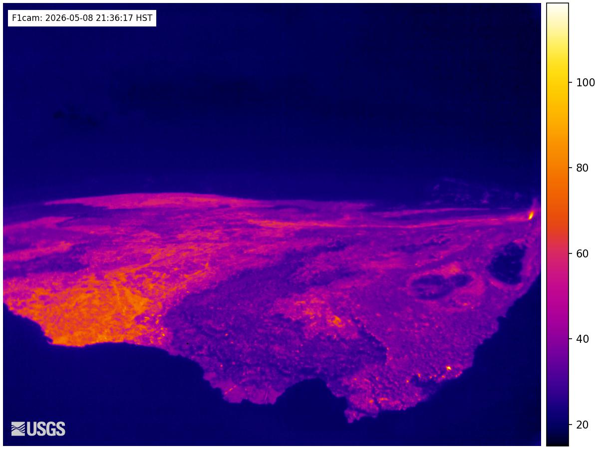
Webcams near Mauna Ulu
History around Mauna Ulu
Towns near Mauna Ulu
- Hilo42 km away