Mountains in United States
Puʻu Huluhulu
3,440 ft1,049 m
Volcano · United States
Le Puʻu Huluhulu, toponyme hawaïen signifiant littéralement « colline broussailleuse », est un cône volcanique des États-Unis, situé dans l'île de Hawaï, sur les pentes du Kīlauea. Il peut être atteint en une courte randonnée offrant un panorama sur les environs, et notamment le Mauna Ulu tout proche.
From French Wikipedia, CC BY-SA · Read the article
At the summit · forecast for 8:00 PM
65 °FHeavy rain · wind 8 mph from the SW
 See it in 3D
Weather at the summit of Puʻu Huluhulu, 3,440 ft
- 8:00 PM65 °FSW 8 mph0.15 in
- 11:00 PM64 °FSW 10 mph0.01 in
- 2:00 AM65 °FSW 6 mph0 in
- 5:00 AM65 °FSW 4 mph0.02 in
- 8:00 AM66 °FSW 4 mph0.05 in
- 11:00 AM68 °FS 6 mph0.32 in
- 2:00 PM68 °FSW 7 mph0.31 in
- 5:00 PM66 °FE 5 mph0.74 in
| Day | Sky | High / low | Rain | Wind up to |
|---|---|---|---|---|
| Thu, Oct 29 | Heavy rain | 68 °F / 64 °F | 1.78 in | 9 mph |
| Fri, Oct 30 | Cloudy | 73 °F / 64 °F | 0.09 in | 15 mph |
| Sat, Oct 31 | Heavy rain | 67 °F / 64 °F | 0.5 in | 8 mph |
| Sun, Nov 1 | Light rain | 71 °F / 62 °F | 0.06 in | 15 mph |
| Mon, Nov 2 | Light rain | 66 °F / 60 °F | 0.06 in | 14 mph |
| Tue, Nov 3 | Light rain | 64 °F / 57 °F | 0.09 in | 18 mph |
| Wed, Nov 4 | Rain | 65 °F / 57 °F | 0.17 in | 19 mph |
Forecast by MET Norway (CC BY 4.0), updated 03:17 PM HST. Times are local.
Facts
- What it is
- Volcano
- Height above sea level
- 3,440 ft (1,049 m)
- Country
- United States
- Coordinates
- 19.371°N 155.205°W
- Source
- Wikidata, CC0
Peaks near Puʻu Huluhulu
- Mauna Ulu3,360 ft · 0.6 km awayOn the map
- Kīlauea4,091 ft · 10 km awayOn the map
- Puʻu ʻŌʻō2,290 ft · 11 km awayOn the map
- Mauna Loa13,679 ft · 43 km awayOn the map
- Mauna Kea13,803 ft · 57 km awayOn the map
- Pu'u'oke'oke'o6,716 ft · 59 km awayOn the map
- KamoamoaVolcano · 8.4 km awayOn the map
- Puu Kamoamoa2,047 ft · 9.8 km awayOn the map
- Maunaiki2,992 ft · 16 km awayOn the map
- Great CrackVolcano · 32 km awayOn the map
Highest mountains in United States
- Denali20,308 ftOn the map
- Mount Saint Elias18,009 ftOn the map
- Mount Foraker17,402 ftOn the map
- Mount Bona16,535 ftOn the map
- Mount Blackburn16,390 ftOn the map
- Mount Sanford16,237 ftOn the map
- Mount Vancouver15,787 ftOn the map
- Mount Churchill15,636 ftOn the map
- Mount Fairweather15,325 ftOn the map
- Mount Hubbard14,951 ftOn the map
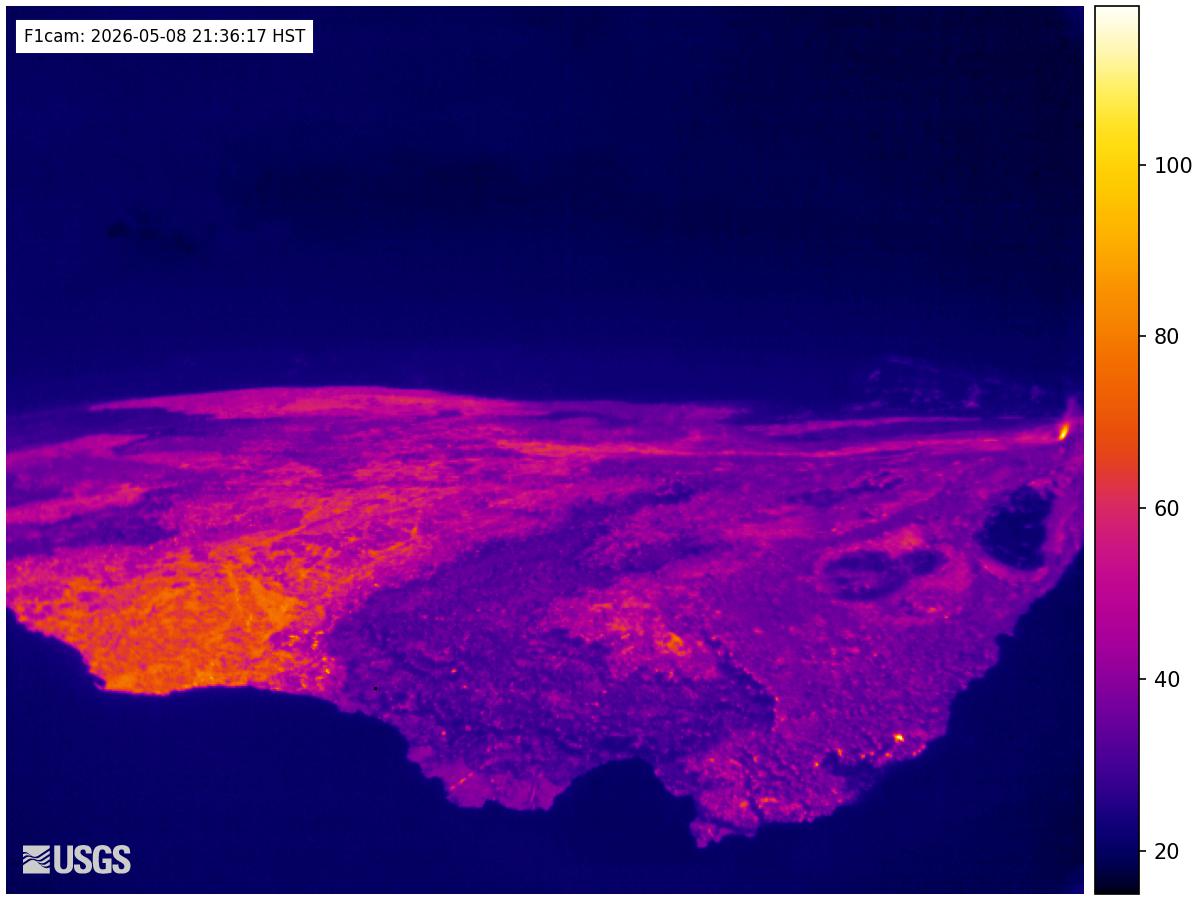
Webcams near Puʻu Huluhulu
Towns near Puʻu Huluhulu
- Hilo42 km away