Mountains in Japan
Kinkeizan
99 m323 ft
Mountain · Japan
Mount Kinkei is a conical hill in the town of Hiraizumi in southwestern Iwate Prefecture, Japan. The mountain is part of the UNESCO World Heritage Site Historic Monuments and Sites of Hiraizumi.
From Wikipedia, CC BY-SA · Read the article
At the summit · forecast for 3:00 PM
17 °CPartly cloudy · wind 9 km/h from the SE
 See it in 3D
Weather at the summit of Kinkeizan, 99 m
- 3:00 PM17 °CSE 9 km/h–
- 6:00 PM12 °CNW 7 km/h1.5 mm
- 9:00 PM12 °CN 10 km/h0.4 mm
- 12:00 AM10 °CNW 17 km/h1.6 mm
- 3:00 AM8 °CNW 18 km/h0.9 mm
- 6:00 AM7 °CNW 17 km/h0.9 mm
- 9:00 AM8 °CNW 24 km/h1 mm
- 12:00 PM9 °CNW 28 km/h0.6 mm
| Day | Sky | High / low | Rain | Wind up to |
|---|---|---|---|---|
| Wed, Oct 28 | Light rain | 10 °C / 6 °C | 5 mm | 28 km/h |
| Thu, Oct 29 | Partly cloudy | 14 °C / 4 °C | – | 18 km/h |
| Fri, Oct 30 | Partly cloudy | 15 °C / 7 °C | 0.3 mm | 7 km/h |
| Sat, Oct 31 | Rain | 16 °C / 10 °C | 5 mm | 7 km/h |
| Sun, Nov 1 | Cloudy | 12 °C / 7 °C | 0.4 mm | 9 km/h |
| Mon, Nov 2 | Light rain | 14 °C / 8 °C | 2.9 mm | 8 km/h |
| Tue, Nov 3 | Clear | 13 °C / 4 °C | 0.2 mm | 8 km/h |
Forecast by MET Norway (CC BY 4.0), updated 02:20 PM GMT+9. Times are local.
Facts
- What it is
- Mountain
- Height above sea level
- 99 m (323 ft)
- Country
- Japan
- Coordinates
- 38.993°N 141.109°E
- Source
- Wikidata, CC0
Peaks near Kinkeizan
- Mount Kurikoma1,628 m · 28 km awayOn the map
- Mount Yakeishi1,548 m · 31 km awayOn the map
- Naruko470 m · 44 km awayOn the map
- Mount Tabashine595 m · 6.8 km awayOn the map
- 石蔵山356 m · 12 km awayOn the map
- Hanganmori150 m · 19 km awayOn the map
- Mount Murone895 m · 29 km awayOn the map
- 牛形山1,340 m · 32 km awayOn the map
- Mount Tokusenjō711 m · 35 km awayOn the map
- Chōnomori Yama486 m · 40 km awayOn the map
Highest mountains in Japan
- Mount Fuji3,777 mOn the map
- Mount Kita3,193 mOn the map
- Hotaka Mountains3,190 mOn the map
- Ainodake3,189 mOn the map
- Mount Yari3,180 mOn the map
- Mount Warusawa3,141 mOn the map
- Mount Akaishi3,120 mOn the map
- Mount Ontake3,067 mOn the map
- Mount Shiomi3,047 mOn the map
- Mount Senjō3,033 mOn the map
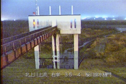
Webcams near Kinkeizan


History around Kinkeizan
Towns near Kinkeizan
- Ichinoseki8.8 km away
- Mizusawa16 km away
- Ōshū17 km away
- Kanegasaki23 km away
- Kurihara29 km away
- Tome32 km away