 See it in 3D
Facts
- What it is
- Mountain
- Height above sea level
- 2,331 m (7,648 ft)
- Prominence
- 337 m (1,106 ft)
- Isolation
- 5.2 km to higher ground
- Range
- Northern Nock Mountains
- Country
- Austria
- Coordinates
- 46.881°N 13.788°E
- Source
- Wikidata, CC0
Peaks near Klomnock
- Rinsennock2,334 m · 5.7 km awayOn the map
- Großer Rosennock2,440 m · 5.8 km awayOn the map
- Eisenhut2,441 m · 13 km awayOn the map
- Gerlitzen1,909 m · 23 km awayOn the map
- Goldeck2,142 m · 29 km awayOn the map
- Dobratsch2,166 m · 32 km awayOn the map
- Reißeck2,965 m · 33 km awayOn the map
- Grosser Hafner3,076 m · 36 km awayOn the map
- Preber2,740 m · 38 km awayOn the map
- Hochalmspitze3,360 m · 38 km awayOn the map
Highest in the Northern Nock Mountains
- Eisenhut2,441 mOn the map
- Großer Rosennock2,440 mOn the map
- Hohe Pressing2,370 mOn the map
- Rinsennock2,334 mOn the map
- Klomnock2,331 mOn the map
- Pfannnock2,254 mOn the map
- Schwarzwand2,214 mOn the map
- Schoberriegel2,208 mOn the map
Highest mountains in Austria
- Grossglockner3,798 mOn the map
- Wildspitze3,768 mOn the map
- Weißkugel3,738 mOn the map
- Großvenediger3,657 mOn the map
- Hintere Schwärze3,624 mOn the map
- Großes Wiesbachhorn3,564 mOn the map
- Ramolkogel3,549 mOn the map
- Schalfkogel3,537 mOn the map
- Watzespitze3,532 mOn the map
- Fineilspitze3,514 mOn the map
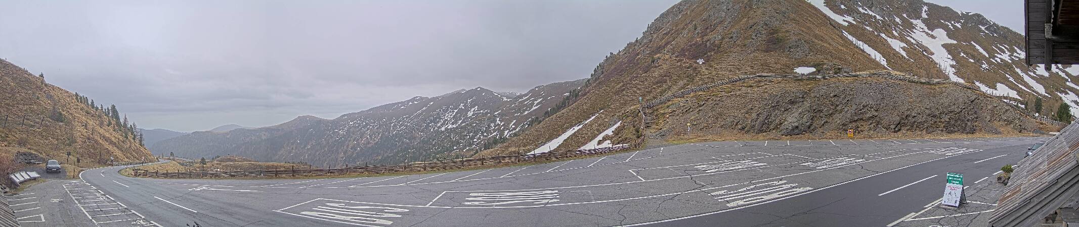
Webcams near Klomnock

Towns near Klomnock
- Villach31 km away
- Klagenfurt am Wörthersee49 km away