Mountains in Germany
Kühgundkopf
1,907 m6,257 ft
Mountain · Allgäu Alps · Germany · Austria
At the summit · forecast for 4:00 AM
4 °CCloudy · wind 5 km/h from the S
 See it in 3D

Weather at the summit of Kühgundkopf, 1,907 m
- 4:00 AM4 °CS 5 km/h–
- 7:00 AM4 °CSE 4 km/h–
- 10:00 AM10 °CE 3 km/h–
- 1:00 PM13 °CN 6 km/h–
- 4:00 PM10 °CN 3 km/h–
- 7:00 PM5 °CS 5 km/h–
- 10:00 PM4 °CS 9 km/h–
- 1:00 AM3 °CS 9 km/h–
| Day | Sky | High / low | Rain | Wind up to |
|---|---|---|---|---|
| Today | Clear | 13 °C / 3 °C | – | 10 km/h |
| Wed, Oct 28 | Rain | 5 °C / 0 °C | 4.7 mm | 12 km/h |
| Thu, Oct 29 | Clear | 5 °C / -2 °C | – | 17 km/h |
| Fri, Oct 30 | Clear | 5 °C / -5 °C | – | 8 km/h |
| Sat, Oct 31 | Clear | 6 °C / -4 °C | – | 6 km/h |
| Sun, Nov 1 | Clear | 7 °C / -1 °C | – | 6 km/h |
| Mon, Nov 2 | Clear | 4 °C / -5 °C | – | 8 km/h |
Forecast by MET Norway (CC BY 4.0), updated 02:17 AM GMT+1. Times are local.
Facts
- What it is
- Mountain
- Height above sea level
- 1,907 m (6,257 ft)
- Prominence
- 307 m (1,007 ft)
- Isolation
- 1.6 km to higher ground
- Range
- Allgäu Alps
- Parent peak
- B'schießer
- Coordinates
- 47.504°N 10.431°E
- Source
- Wikidata, CC0
Peaks near Kühgundkopf
- B'schießer1,998 m · 1.9 km awayOn the map
- Ponten2,044 m · 2.5 km awayOn the map
- Gaishorn2,247 m · 5 km awayOn the map
- Rauhhorn2,241 m · 5.7 km awayOn the map
- Kugelhorn2,125 m · 6.8 km awayOn the map
- Großer Daumen2,280 m · 8.1 km awayOn the map
- Lahnerkopf2,121 m · 8.6 km awayOn the map
- Schänzlespitz2,052 m · 9.1 km awayOn the map
- Schänzlekopf2,070 m · 9.7 km awayOn the map
- Glasfelderkopf2,270 m · 11 km awayOn the map
Parent peak
The nearest higher peak its prominence is measured to.
- B'schießer1,998 mOn the map
Peaks below Kühgundkopf
- Iseler1,876 mOn the map
Highest in the Allgäu Alps
- Krottenkopf2,656 mOn the map
- Hohes Licht2,651 mOn the map
- Biberkopf2,599 mOn the map
- Hochvogel2,592 mOn the map
- Widderstein2,533 mOn the map
- Kühgundkopf1,907 mOn the map
Highest mountains in Germany
- Zugspitze2,962 mOn the map
- Hochwanner2,744 mOn the map
- Dreitorspitze2,682 mOn the map
- Hochkalter2,607 mOn the map
- Biberkopf2,599 mOn the map
- Großer Hundstod2,594 mOn the map
- Hochvogel2,592 mOn the map
- Östliche Karwendelspitze2,538 mOn the map
- Hocheisspitze2,523 mOn the map
- Hoher Göll2,522 mOn the map
Webcams near Kühgundkopf
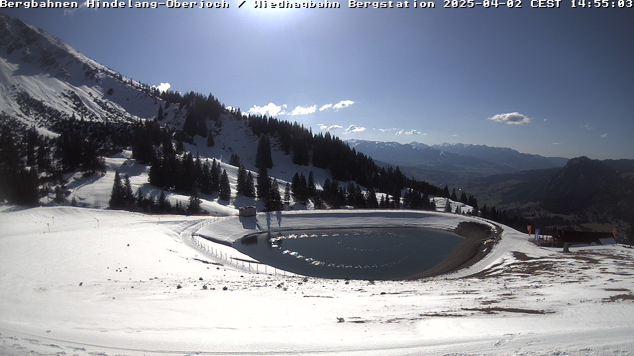 Iseler Grat Oberjoch Panorama0.5 km from the summit
 IR night vision | Schattwald Rchtg. Deutschland, B199 km 21.12.3 km from the summit
B199, Schattwald Rchtg. Schattwald, Blickrichtung Schattwald2.3 km from the summit
B199, Schattwald Rchtg. Deutschland, Blickrichtung Deutschland,2.3 km from the summit
Towns near Kühgundkopf
- Sonthofen11 km away
- Füssen22 km away
- Kempten (Allgäu)26 km away
- Marktoberdorf34 km away
- Kaufbeuren44 km away
- Leutkirch47 km away