Mountains in Ireland
Mount Gabriel
407 m1,335 ft
Mountain · Ireland
Mount Gabriel is a large hill on the Mizen Peninsula, north of the town of Schull in County Cork, Ireland. The name Cnoc Osta means 'hill of the encampment', and was historically anglicized as 'Knock Hast'.
From Wikipedia, CC BY-SA · Read the article
At the summit · forecast for 11:00 PM
9 °CPartly cloudy · wind 57 km/h from the W
 See it in 3D
Weather at the summit of Mount Gabriel, 407 m
- 11:00 PM9 °CW 57 km/h–
- 2:00 AM9 °CW 62 km/h0.3 mm
- 5:00 AM8 °CW 55 km/h1.3 mm
- 8:00 AM7 °CW 46 km/h0.4 mm
- 11:00 AM10 °CW 51 km/h0.4 mm
- 2:00 PM10 °CW 49 km/h–
- 5:00 PM9 °CW 37 km/h–
- 8:00 PM9 °CW 41 km/h0.4 mm
| Day | Sky | High / low | Rain | Wind up to |
|---|---|---|---|---|
| Tue, Oct 27 | Mostly clear | 10 °C / 7 °C | 3.6 mm | 62 km/h |
| Wed, Oct 28 | Rain | 12 °C / 10 °C | 2.7 mm | 48 km/h |
| Thu, Oct 29 | Rain | 11 °C / 10 °C | 9.9 mm | 41 km/h |
| Fri, Oct 30 | Clear | 12 °C / 6 °C | – | 30 km/h |
| Sat, Oct 31 | Cloudy | 8 °C / 6 °C | 1 mm | 8 km/h |
| Sun, Nov 1 | Clear | 8 °C / 1 °C | – | 10 km/h |
| Mon, Nov 2 | Mostly clear | 9 °C / 2 °C | – | 18 km/h |
Forecast by MET Norway (CC BY 4.0), updated 07:16 PM GMT. Times are local.
Facts
- What it is
- Mountain
- Height above sea level
- 407 m (1,335 ft)
- Prominence
- 312 m (1,024 ft)
- Country
- Ireland
- Coordinates
- 51.550°N 9.537°W
- Source
- Wikidata, CC0
Peaks near Mount Gabriel
- Caher Mountain338 m · 15 km awayOn the map
- Sugarloaf574 m · 21 km awayOn the map
- Hungry Hill686 m · 23 km awayOn the map
- Nowen Hill535 m · 28 km awayOn the map
- Knockboy706 m · 29 km awayOn the map
- Knockoura490 m · 34 km awayOn the map
- Mangerton Mountain838 m · 47 km awayOn the map
- Mullaghanattin773 m · 47 km awayOn the map
- Stumpa Dúloigh784 m · 48 km awayOn the map
- Broaghnabinnia745 m · 49 km awayOn the map
Highest mountains in Ireland
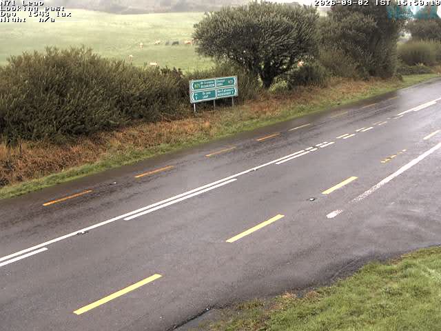
Webcams near Mount Gabriel
History around Mount Gabriel
- Battle of Bantry Bay1689
- Expédition d'Irlande1796
- French film-maker Sophie Toscan du Plantier was murdered outside her holiday home in Schull, County Cork1996
- Whiddy Island Disaster: The French tanker Betelgeuse explodes at the Gulf Oil terminal at Bantry, Ireland; 50 people are killed1979
- Algerian pirates sack Baltimore, County Cork, in Ireland1631
Towns near Mount Gabriel
- Ballincollig75 km away