Mountains in Ireland
See it in 3DKnockoura
490 m1,608 ft
Mountain · Slieve Miskish Mountains · Ireland
Knockoura is a mountain on the Beara Peninsula in County Cork, Ireland.
From Wikipedia, CC BY-SA · Read the article
The highest point of Slieve Miskish Mountains
At the summit · forecast for 10:00 PM
10 °CRain · wind 36 km/h from the SW
Weather at the summit of Knockoura, 490 m
- 10:00 PM10 °CSW 36 km/h0.9 mm
- 1:00 AM11 °CSW 40 km/h0.5 mm
- 4:00 AM11 °CSW 35 km/h0.5 mm
- 7:00 AM11 °CSW 26 km/h0.2 mm
- 10:00 AM11 °CSW 27 km/h0.1 mm
- 1:00 PM11 °CSW 24 km/h0.1 mm
- 4:00 PM11 °CSW 23 km/h0.2 mm
- 7:00 PM11 °CS 27 km/h–
| Day | Sky | High / low | Rain | Wind up to |
|---|---|---|---|---|
| Wed, Oct 28 | Cloudy | 11 °C / 10 °C | 1.7 mm | 46 km/h |
| Thu, Oct 29 | Cloudy | 11 °C / 11 °C | 1 mm | 46 km/h |
| Fri, Oct 30 | Rain | 12 °C / 11 °C | 19.7 mm | 46 km/h |
| Sat, Oct 31 | Rain | 11 °C / 11 °C | 2.2 mm | 17 km/h |
| Sun, Nov 1 | Cloudy | 11 °C / 9 °C | 0.1 mm | 14 km/h |
| Mon, Nov 2 | Cloudy | 10 °C / 9 °C | 0.1 mm | 30 km/h |
| Tue, Nov 3 | Cloudy | 10 °C / 10 °C | – | 26 km/h |
Forecast by MET Norway (CC BY 4.0), updated 07:17 PM GMT. Times are local.
Facts
- What it is
- Mountain
- Height above sea level
- 490 m (1,608 ft)
- Prominence
- 395 m (1,296 ft)
- Range
- Slieve Miskish Mountains
- Country
- Ireland
- Highest point of
- Slieve Miskish Mountains
- Coordinates
- 51.652°N 9.993°W
- Source
- Wikidata, CC0
Peaks near Knockoura
- Hungry Hill686 m · 14 km awayOn the map
- Caher Mountain338 m · 19 km awayOn the map
- Sugarloaf574 m · 26 km awayOn the map
- Mullaghanattin773 m · 33 km awayOn the map
- Mount Gabriel407 m · 34 km awayOn the map
- Bentee376 m · 35 km awayOn the map
- Stumpa Dúloigh784 m · 37 km awayOn the map
- Broaghnabinnia745 m · 39 km awayOn the map
- Knocknadobar690 m · 40 km awayOn the map
- Caher West Top973 m · 41 km awayOn the map
Highest mountains in Ireland
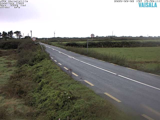
Webcams near Knockoura
History around Knockoura
Towns near Knockoura
- Tralee72 km away