Mount Iwaki
1,625 m5,330 ft
Volcano · Ou Mountains · Japan
Mount Iwaki is a stratovolcano located in western Aomori Prefecture, Tohoku, Japan. It is also referred to as Tsugaru Fuji (津軽富士) and less frequently, Okufuji (奥富士) due to its similar shape to Mount Fuji.
From Wikipedia, CC BY-SA · Read the article
 See it in 3D
Facts
- What it is
- Volcano
- Height above sea level
- 1,625 m (5,330 ft)
- Range
- Ou Mountains
- Country
- Japan
- Coordinates
- 40.653°N 140.307°E
- Volcano number
- 283270 at the Global Volcanism Program
- Source
- Wikidata, CC0
Mount Iwaki
Stratovolcano in Aomori Prefecture, Japan
Mount Iwaki is a stratovolcano located in western Aomori Prefecture, Tohoku, Japan. It is also referred to as Tsugaru Fuji (津軽富士) and less frequently, Okufuji (奥富士) due to its similar shape to Mount Fuji. With a summit elevation of 1,625 meters (5,331 ft) and a prominence of 1,362 meters (4,469 ft) it is the highest mountain in Aomori Prefecture.
From Wikipedia, CC BY-SA · Read the article
29 recorded eruptions
- Eruption in 1863
- Eruption in 1856
- Eruption in 1848
- Eruption in 1845
- Eruption in 1844
- Eruption in 1833
- Eruption in 1807
- Eruption in 1800
- Eruption in 1794
- Eruption in 1793
- Eruption in 1790
- Eruption in 1783
The latest 12 of 29, from the Smithsonian’s Global Volcanism Program through History.
Peaks near Mount Iwaki
- Mount Bonju468 m · 28 km awayOn the map
- Mount Shirakami1,235 m · 29 km awayOn the map
- Shiroji Yama1,034 m · 47 km awayOn the map
- Towada mountain1,159 m · 56 km awayOn the map
- Mount Mukaishirakami1,250 m · 26 km awayOn the map
- Mount Tashiro1,178 m · 26 km awayOn the map
- Mount Takamori162 m · 32 km awayOn the map
- 八森山 (青森県)211 m · 33 km awayOn the map
- Mount Moya276 m · 42 km awayOn the map
- Moya Tōge553 m · 42 km awayOn the map
Highest in the Ou Mountains
- Mount Iwate2,038 mOn the map
- Mount Azuma2,035 mOn the map
- Mount Nasu1,917 mOn the map
- Mount Zaō1,841 mOn the map
- Mount Bandai1,819 mOn the map
- Mount Adatara1,728 mOn the map
- Akita-Komagatake1,637 mOn the map
- Mount Kurikoma1,628 mOn the map
- Mount Iwaki1,625 mOn the map
Highest mountains in Japan
- Mount Fuji3,777 mOn the map
- Mount Kita3,193 mOn the map
- Hotaka Mountains3,190 mOn the map
- Ainodake3,189 mOn the map
- Mount Yari3,180 mOn the map
- Mount Warusawa3,141 mOn the map
- Mount Akaishi3,120 mOn the map
- Mount Ontake3,067 mOn the map
- Mount Shiomi3,047 mOn the map
- Mount Senjō3,033 mOn the map
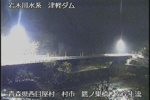
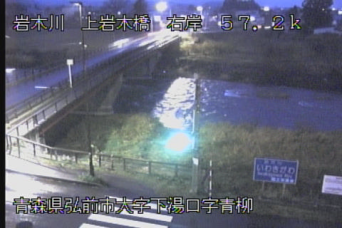
Webcams near Mount Iwaki

History around Mount Iwaki
- 青森県新和村一家7人殺害事件1953
- 武富士弘前支店強盗殺人・放火事件2001
- Hirosaki incident1949
Towns near Mount Iwaki
- Hirosaki16 km away
- Tsugaru19 km away
- Shimokizukuri19 km away
- Goshogawara20 km away
- Kuroishi23 km away
- Hirakawa23 km away