Mountains in Ireland
Mullaghanish
694 m2,277 ft
Mountain · Derrynasaggart Mountains · Ireland
Mullaghanish is a 649 m high mountain in the Derrynasaggart range, located just northeast of Ballyvourney in County Cork, Ireland.
From Wikipedia, CC BY-SA · Read the article
The highest point of Derrynasaggart Mountains
At the summit · forecast for 11:00 PM
7 °CLight rain · wind 31 km/h from the SW
 See it in 3D
Weather at the summit of Mullaghanish, 694 m
- 11:00 PM7 °CSW 31 km/h0.4 mm
- 2:00 AM5 °CSW 28 km/h0.5 mm
- 5:00 AM4 °CSW 30 km/h0.7 mm
- 8:00 AM4 °CW 27 km/h0.3 mm
- 11:00 AM6 °CW 29 km/h0.8 mm
- 2:00 PM7 °CW 28 km/h0.1 mm
- 5:00 PM6 °CW 24 km/h–
- 8:00 PM6 °CSW 21 km/h0.2 mm
| Day | Sky | High / low | Rain | Wind up to |
|---|---|---|---|---|
| Tue, Oct 27 | Light rain | 7 °C / 4 °C | 3.3 mm | 33 km/h |
| Wed, Oct 28 | Cloudy | 11 °C / 7 °C | 0.3 mm | 27 km/h |
| Thu, Oct 29 | Cloudy | 9 °C / 8 °C | 8.6 mm | 33 km/h |
| Fri, Oct 30 | Rain | 10 °C / 8 °C | 10.5 mm | 27 km/h |
| Sat, Oct 31 | Rain | 10 °C / 6 °C | 25.4 mm | 16 km/h |
| Sun, Nov 1 | Partly cloudy | 7 °C / 2 °C | – | 10 km/h |
| Mon, Nov 2 | Cloudy | 8 °C / 0 °C | – | 22 km/h |
Forecast by MET Norway (CC BY 4.0), updated 11:20 PM GMT. Times are local.
Facts
- What it is
- Mountain
- Height above sea level
- 694 m (2,277 ft)
- Prominence
- 264 m (866 ft)
- Range
- Derrynasaggart Mountains
- Country
- Ireland
- Highest point of
- Derrynasaggart Mountains
- Coordinates
- 51.991°N 9.145°W
- Source
- Wikidata, CC0
Peaks near Mullaghanish
- Paps of Anu670 m · 8.9 km awayOn the map
- Musheramore644 m · 12 km awayOn the map
- Mangerton Mountain838 m · 23 km awayOn the map
- Mount Hillary391 m · 25 km awayOn the map
- Torc Mountain535 m · 25 km awayOn the map
- Knockboy706 m · 29 km awayOn the map
- Nowen Hill535 m · 30 km awayOn the map
- Purple Mountain832 m · 33 km awayOn the map
- Cruach Mhór932 m · 35 km awayOn the map
- The Big Gun939 m · 37 km awayOn the map
Highest mountains in Ireland
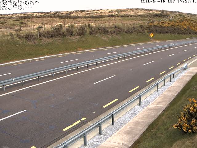
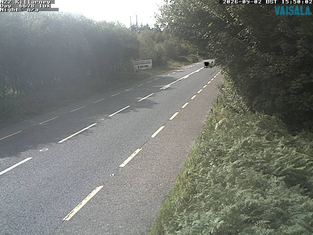
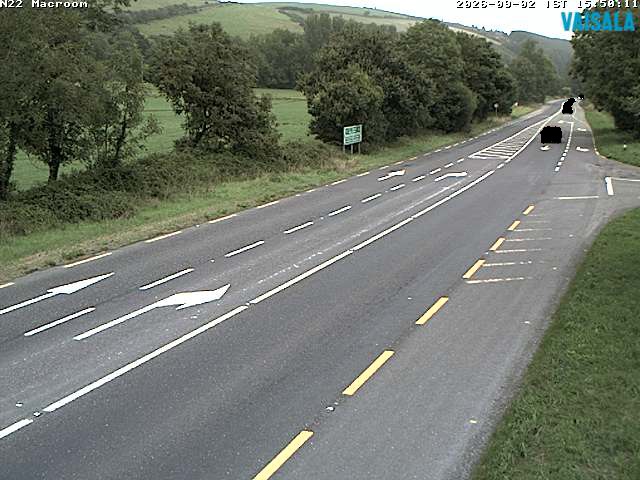
Webcams near Mullaghanish
History around Mullaghanish
- Niamh Kavanagh wins the Eurovision Song Contest for Ireland with In Your Eyes1993
- Battle of Knocknaclashy1651
- Battle of Macroom1650
- Irish War of Independence: Headford Ambush – The Irish Republican Army kills at least 9 British Army troops1921
- Irish War of Independence: Clonbanin ambush: A force of about 100 Irish Republican Army members attacks a British Army convoy of 40 soldiers, killing several1921
Towns near Mullaghanish
- Ballincollig40 km away
- Cork47 km away
- Tralee49 km away
- Douglas50 km away
- Carrigaline55 km away