Mountains in Austria
Nördliche Talleitenspitze
3,115 m10,220 ft
Mountain · Schober group · Austria
Die Nördliche Talleitenspitze, früher auch Namenloser Gipfel genannt ist ein 3115 m ü. A. hoher Berggipfel in der Schobergruppe an der Grenze zwischen Osttirol und Kärnten. Sie liegt an der Gemeindegrenze von Kals am Großglockner und Heiligenblut am Großglockner.
From German Wikipedia, CC BY-SA · Read the article
At the summit · forecast for 3:00 AM
-7 °CPartly cloudy · wind 9 km/h from the N
 See it in 3D
Weather at the summit of Nördliche Talleitenspitze, 3,115 m
- 3:00 AM-7 °CN 9 km/h–
- 6:00 AM-10 °CN 6 km/h–
- 9:00 AM-8 °CNE 6 km/h–
- 12:00 PM-4 °CN 4 km/h–
- 3:00 PM-4 °CN 5 km/h–
- 6:00 PM-9 °CN 4 km/h–
- 9:00 PM-11 °CNE 4 km/h–
- 12:00 AM-12 °CNE 6 km/h–
| Day | Sky | High / low | Rain | Wind up to |
|---|---|---|---|---|
| Today | Mostly clear | -4 °C / -12 °C | – | 9 km/h |
| Fri, Oct 30 | Clear | -3 °C / -12 °C | – | 6 km/h |
| Sat, Oct 31 | Mostly clear | -5 °C / -12 °C | 0.3 mm | 9 km/h |
| Sun, Nov 1 | Light snow | -11 °C / -14 °C | 5.9 mm | 10 km/h |
| Mon, Nov 2 | Partly cloudy | -7 °C / -14 °C | 0.7 mm | 9 km/h |
| Tue, Nov 3 | Mostly clear | -6 °C / -11 °C | 0.3 mm | 10 km/h |
| Wed, Nov 4 | Clear | -4 °C / -13 °C | – | 6 km/h |
Forecast by MET Norway (CC BY 4.0), updated 12:20 AM GMT+1. Times are local.
Facts
- What it is
- Mountain
- Height above sea level
- 3,115 m (10,220 ft)
- Prominence
- 70 m (230 ft)
- Isolation
- 0.4 km to higher ground
- Range
- Schober group
- Country
- Austria
- Coordinates
- 46.972°N 12.742°E
- Source
- Wikidata, CC0
Peaks near Nördliche Talleitenspitze
- Petzeck3,283 m · 5.4 km awayOn the map
- Grossglockner3,798 m · 12 km awayOn the map
- Glocknerwand3,721 m · 13 km awayOn the map
- Johannisberg3,453 m · 16 km awayOn the map
- Großer Muntanitz3,232 m · 16 km awayOn the map
- Hocharn3,254 m · 19 km awayOn the map
- Großes Wiesbachhorn3,564 m · 21 km awayOn the map
- Hoher Tenn3,368 m · 23 km awayOn the map
- Große Sandspitze2,770 m · 23 km awayOn the map
- Kitzsteinhorn3,203 m · 24 km awayOn the map
Highest in the Schober group
- Petzeck3,283 mOn the map
- Roter Knopf3,281 mOn the map
- Hochschober3,242 mOn the map
- Glödis3,206 mOn the map
- Großer Friedrichskopf3,134 mOn the map
- Nördliche Talleitenspitze3,115 mOn the map
- Karlkamp3,114 mOn the map
Highest mountains in Austria
- Grossglockner3,798 mOn the map
- Wildspitze3,768 mOn the map
- Weißkugel3,738 mOn the map
- Großvenediger3,657 mOn the map
- Hintere Schwärze3,624 mOn the map
- Großes Wiesbachhorn3,564 mOn the map
- Ramolkogel3,549 mOn the map
- Schalfkogel3,537 mOn the map
- Watzespitze3,532 mOn the map
- Fineilspitze3,514 mOn the map
Webcams near Nördliche Talleitenspitze
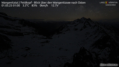
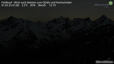
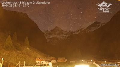
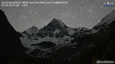
Towns near Nördliche Talleitenspitze
- Saalfelden am Steinernen Meer51 km away