Mountains in Nepal
Numbur
6,958 m22,828 ft
Mountain · Nepal
Numbur is a glaciated mountain located in the Rolwaling Himal mountain range of Nepal. The 6,958 metres (22,828 ft) high Numbur is located at 43 km southwest of Mount Everest, on the border of the Janakpur and Sagarmatha zones. One of its eastern neighbours is mount Karyolung.
From Wikipedia, CC BY-SA · Read the article
At the summit · forecast for 5:45 AM
-28 °CClear · wind 8 km/h from the W
 See it in 3D
Weather at the summit of Numbur, 6,958 m
- 5:45 AM-28 °CW 8 km/h–
- 8:45 AM-18 °CW 5 km/h–
- 11:45 AM-13 °CS 10 km/h–
- 2:45 PM-14 °CSE 7 km/h–
- 5:45 PM-20 °CNW 5 km/h–
- 8:45 PM-24 °CW 7 km/h–
- 11:45 PM-25 °CW 6 km/h–
- 2:45 AM-26 °CW 8 km/h–
| Day | Sky | High / low | Rain | Wind up to |
|---|---|---|---|---|
| Today | Mostly clear | -13 °C / -28 °C | – | 10 km/h |
| Wed, Oct 28 | Cloudy | -13 °C / -27 °C | – | 10 km/h |
| Thu, Oct 29 | Snow | -13 °C / -21 °C | 26.5 mm | 9 km/h |
| Fri, Oct 30 | Heavy snow | -15 °C / -16 °C | 104.1 mm | 5 km/h |
| Sat, Oct 31 | Light snow | -13 °C / -22 °C | 18.5 mm | 5 km/h |
| Sun, Nov 1 | Partly cloudy | -15 °C / -25 °C | 8 mm | 5 km/h |
| Mon, Nov 2 | Snow | -15 °C / -26 °C | 7.6 mm | 6 km/h |
Forecast by MET Norway (CC BY 4.0), updated 05:04 AM GMT+5:45. Times are local.
Facts
- What it is
- Mountain
- Height above sea level
- 6,958 m (22,828 ft)
- Prominence
- 1,238 m (4,062 ft)
- Country
- Nepal
- Coordinates
- 27.754°N 86.573°E
- Source
- Wikidata, CC0
Peaks near Numbur
- Kongde Ri6,086 m · 8.1 km awayOn the map
- Parchamo6,273 m · 9.5 km awayOn the map
- Tengi Ragi Tau6,943 m · 12 km awayOn the map
- Takargo6,771 m · 15 km awayOn the map
- Tsoboje6,686 m · 17 km awayOn the map
- Mount Khumbila5,761 m · 17 km awayOn the map
- Drangnag Ri6,801 m · 21 km awayOn the map
- Kang Nachugo6,735 m · 21 km awayOn the map
- Thamserku6,623 m · 21 km awayOn the map
- Kusum Kanguru6,367 m · 22 km awayOn the map
Highest mountains in Nepal
- Mount Everest8,849 mOn the map
- Kanchenjunga8,586 mOn the map
- Lhotse8,516 mOn the map
- Makalu8,485 mOn the map
- Cho Oyu8,188 mOn the map
- Dhaulagiri8,167 mOn the map
- Manaslu8,163 mOn the map
- Annapurna I8,091 mOn the map
- Gyachung Kang7,952 mOn the map
- Annapurna II7,937 mOn the map
Webcams near Numbur
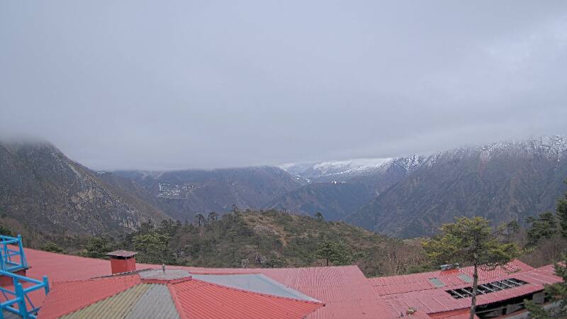
History around Numbur
Towns near Numbur
- Chari̇̄koṭ52 km away
- Khā̃dbāri̇̄75 km away