 See it in 3D
Facts
- What it is
- Mountain
- Height above sea level
- 5,761 m (18,901 ft)
- Range
- Himalayas
- Country
- Nepal
- Coordinates
- 27.848°N 86.709°E
- Source
- Wikidata, CC0
Peaks near Mount Khumbila
- Taboche6,501 m · 8.8 km awayOn the map
- Kongde Ri6,086 m · 8.9 km awayOn the map
- Pharilapcha6,017 m · 9.4 km awayOn the map
- Cholatse6,440 m · 9.7 km awayOn the map
- Thamserku6,623 m · 10 km awayOn the map
- Gokyo Ri5,357 m · 13 km awayOn the map
- Kangtega6,783 m · 13 km awayOn the map
- Lobuche6,145 m · 15 km awayOn the map
- Pokalde5,806 m · 15 km awayOn the map
- Ama Dablam6,814 m · 15 km awayOn the map
Highest in the Himalayas
- Kanchenjunga8,586 mOn the map
- Dhaulagiri8,167 mOn the map
- Nanga Parbat8,126 mOn the map
- Nanda Devi7,816 mOn the map
- Jannu7,711 mOn the map
- Gurla Mandhata7,694 mOn the map
- Silberzacken7,597 mOn the map
- Gangkhar Puensum7,570 mOn the map
- Mount Khumbila5,761 mOn the map
Highest mountains in Nepal
- Mount Everest8,849 mOn the map
- Kanchenjunga8,586 mOn the map
- Lhotse8,516 mOn the map
- Makalu8,485 mOn the map
- Cho Oyu8,188 mOn the map
- Dhaulagiri8,167 mOn the map
- Manaslu8,163 mOn the map
- Annapurna I8,091 mOn the map
- Gyachung Kang7,952 mOn the map
- Annapurna II7,937 mOn the map
Webcams near Mount Khumbila
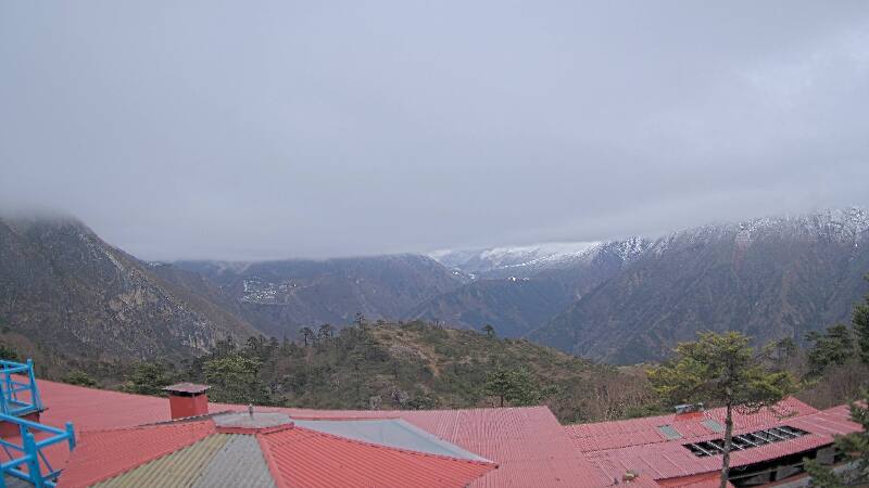

History around Mount Khumbila
Towns near Mount Khumbila
- Chari̇̄koṭ68 km away
- Khā̃dbāri̇̄72 km away