Mountains in Nepal
Taboche
6,501 m21,329 ft
Mountain · Nepal
Taboche is a mountain in the Khumbu region of the Nepalese Himalaya. Taboche is connected to Cholatse by a long ridge. Taboche lies directly across the Imja River from Ama Dablam and above the villages of Pheriche and Dingboche.
From Wikipedia, CC BY-SA · Read the article
At the summit · forecast for 4:45 AM
-21 °CClear · wind 7 km/h from the NE
 See it in 3D
Weather at the summit of Taboche, 6,501 m
- 4:45 AM-21 °CNE 7 km/h–
- 7:45 AM-15 °CNE 6 km/h–
- 10:45 AM-9 °CSE 7 km/h–
- 1:45 PM-9 °CS 9 km/h–
- 4:45 PM-13 °CE 3 km/h–
- 7:45 PM-17 °CNE 6 km/h–
- 10:45 PM-17 °CNE 5 km/h–
- 1:45 AM-18 °CNE 6 km/h–
| Day | Sky | High / low | Rain | Wind up to |
|---|---|---|---|---|
| Today | Clear | -9 °C / -21 °C | – | 9 km/h |
| Wed, Oct 28 | Cloudy | -8 °C / -20 °C | – | 9 km/h |
| Thu, Oct 29 | Light snow | -9 °C / -15 °C | 19.1 mm | 9 km/h |
| Fri, Oct 30 | Heavy snow | -11 °C / -13 °C | 82.3 mm | 4 km/h |
| Sat, Oct 31 | Cloudy | -10 °C / -19 °C | 0.5 mm | 6 km/h |
| Sun, Nov 1 | Clear | -10 °C / -20 °C | 0.3 mm | 8 km/h |
| Mon, Nov 2 | Mostly clear | -11 °C / -26 °C | 0.4 mm | 9 km/h |
Forecast by MET Norway (CC BY 4.0), updated 01:01 AM GMT+5:45. Times are local.
Facts
- What it is
- Mountain
- Height above sea level
- 6,501 m (21,329 ft)
- Prominence
- 1,121 m (3,678 ft)
- Country
- Nepal
- Coordinates
- 27.898°N 86.779°E
- Source
- Wikidata, CC0
Peaks near Taboche
- Cholatse6,440 m · 2.8 km awayOn the map
- Pokalde5,806 m · 6.1 km awayOn the map
- Lobuche6,145 m · 7 km awayOn the map
- Mount Khumbila5,761 m · 8.8 km awayOn the map
- Ama Dablam6,814 m · 9 km awayOn the map
- Nirekha6,169 m · 9 km awayOn the map
- Pharilapcha6,017 m · 10 km awayOn the map
- Ombigaichan6,340 m · 11 km awayOn the map
- Gokyo Ri5,357 m · 12 km awayOn the map
- Thamserku6,623 m · 12 km awayOn the map
Highest mountains in Nepal
- Mount Everest8,849 mOn the map
- Kanchenjunga8,586 mOn the map
- Lhotse8,516 mOn the map
- Makalu8,485 mOn the map
- Cho Oyu8,188 mOn the map
- Dhaulagiri8,167 mOn the map
- Manaslu8,163 mOn the map
- Annapurna I8,091 mOn the map
- Gyachung Kang7,952 mOn the map
- Annapurna II7,937 mOn the map
Webcams near Taboche
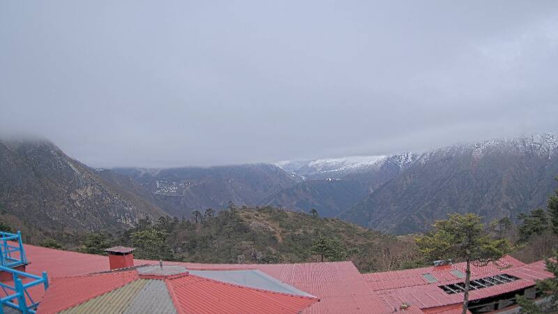
History around Taboche
Towns near Taboche
- Khā̃dbāri̇̄72 km away
- Chari̇̄koṭ76 km away