Mountains in China
Pak Hok Shan
77 m253 ft
Hill · China
Pak Hok Shan is a small hill in the northern part of the New Kowloon in Hong Kong. It is 77 metres (253 ft) in height. The Hong Kong Chinese Christian Churches Union Cemetery is located on this hill.
From Wikipedia, CC BY-SA · Read the article
At the summit · forecast for 5:00 AM
24 °CPartly cloudy · wind 40 km/h from the NE
 See it in 3D
Weather at the summit of Pak Hok Shan, 77 m
- 5:00 AM24 °CNE 40 km/h–
- 8:00 AM24 °CNE 40 km/h–
- 11:00 AM26 °CE 37 km/h–
- 2:00 PM27 °CE 33 km/h–
- 5:00 PM26 °CE 32 km/h–
- 8:00 PM25 °CE 37 km/h–
- 11:00 PM25 °CE 36 km/h–
- 2:00 AM25 °CE 37 km/h–
| Day | Sky | High / low | Rain | Wind up to |
|---|---|---|---|---|
| Today | Cloudy | 27 °C / 24 °C | – | 42 km/h |
| Thu, Oct 29 | Clear | 27 °C / 24 °C | – | 38 km/h |
| Fri, Oct 30 | Clear | 29 °C / 23 °C | – | 24 km/h |
| Sat, Oct 31 | Partly cloudy | 27 °C / 24 °C | 0.8 mm | 20 km/h |
| Sun, Nov 1 | Mostly clear | 27 °C / 24 °C | 5.4 mm | 18 km/h |
| Mon, Nov 2 | Partly cloudy | 29 °C / 25 °C | 0.1 mm | 12 km/h |
| Tue, Nov 3 | Partly cloudy | 27 °C / 24 °C | 1 mm | 19 km/h |
Forecast by MET Norway (CC BY 4.0), updated 03:17 AM GMT+8. Times are local.
Facts
- What it is
- Hill
- Height above sea level
- 77 m (253 ft)
- Country
- China
- Coordinates
- 22.334°N 114.189°E
- Source
- Wikidata, CC0
Peaks near Pak Hok Shan
- Checkerboard Hill98 m · 0.5 km awayOn the map
- Hammer Hill140 m · 1.1 km awayOn the map
- Lion Rock495 m · 2.2 km awayOn the map
- Beacon Hill457 m · 2.6 km awayOn the map
- Temple Hill488 m · 3.1 km awayOn the map
- Ping Shan189 m · 3.1 km awayOn the map
- Kowloon Peak602 m · 3.6 km awayOn the map
- Cheung Shan585 m · 3.7 km awayOn the map
- Tung Shan544 m · 4 km awayOn the map
- Tate's Cairn577 m · 4 km awayOn the map
Highest mountains in China
- Mount Everest8,849 mOn the map
- Lhotse8,516 mOn the map
- Makalu8,485 mOn the map
- Cho Oyu8,188 mOn the map
- Gasherbrum8,080 mOn the map
- Broad Peak8,051 mOn the map
- Gasherbrum II8,034 mOn the map
- Shishapangma8,027 mOn the map
- Gyachung Kang7,952 mOn the map
- Gasherbrum III7,946 mOn the map
Webcams near Pak Hok Shan
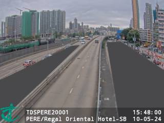 Prince Edward Road East near Regal Oriental Hotel - Southbound0.7 km from the summit
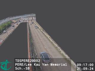 Prince Edward Road East near Lee Kau Yan Memorial School - Southbound0.7 km from the summit
 Prince Edward Rd W Flyover nr Olympic Garden0.7 km from the summit
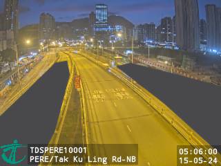 Prince Edward Road East near Tak Ku Ling Road - Northbound0.7 km from the summit
History around Pak Hok Shan
Towns near Pak Hok Shan
- Tung Tau Estate0.4 km away
- Kowloon City0.5 km away
- Wang Tau Hom0.7 km away
- Wang Tau Hom Estate0.7 km away
- Lower Wong Tai Sin Estate (I & II)0.8 km away
- San Po Kong0.8 km away