Pirin peak
2,593 m8,507 ft
Mountain · Pirin · Bulgaria
Der Pirin ist ein Berggipfel im Piringebirge im Südwesten Bulgariens in der Gemeinde Simitli, rund 14 km westlich von Kresna. Der Gipfel Pirin ist mit seinen 2593 m einer der niedrigsten des gesamten Gebirges und befindet sich in dessen Nordkamm im Dschindschiriza Reservat des Nationalparks Pirin.
From German Wikipedia, CC BY-SA · Read the article
At the summit · forecast for 3:00 AM
-8 °CFog · wind 17 km/h from the NE
 See it in 3D
Weather at the summit of Pirin peak, 2,593 m
- 3:00 AM-8 °CNE 17 km/h–
- 6:00 AM-9 °CNE 15 km/h–
- 9:00 AM-6 °CN 17 km/h–
- 12:00 PM-4 °CN 17 km/h–
- 3:00 PM-4 °CNW 18 km/h–
- 6:00 PM-6 °CNE 10 km/h–
- 9:00 PM-6 °CNE 6 km/h–
- 12:00 AM-8 °CNE 11 km/h–
| Day | Sky | High / low | Rain | Wind up to |
|---|---|---|---|---|
| Today | Partly cloudy | -4 °C / -10 °C | – | 18 km/h |
| Wed, Oct 28 | Mostly clear | 2 °C / -8 °C | – | 15 km/h |
| Thu, Oct 29 | Partly cloudy | 4 °C / -5 °C | – | 11 km/h |
| Fri, Oct 30 | Snow | 0 °C / -3 °C | 11.4 mm | 4 km/h |
| Sat, Oct 31 | Cloudy | 1 °C / -2 °C | 2.5 mm | 5 km/h |
| Sun, Nov 1 | Partly cloudy | 0 °C / -3 °C | 0.8 mm | 7 km/h |
| Mon, Nov 2 | Partly cloudy | -1 °C / -7 °C | – | 9 km/h |
Forecast by MET Norway (CC BY 4.0), updated 01:19 AM GMT+2. Times are local.
Facts
- What it is
- Mountain
- Height above sea level
- 2,593 m (8,507 ft)
- Range
- Pirin
- Country
- Bulgaria
- Coordinates
- 41.847°N 23.293°E
- Source
- Wikidata, CC0
Pirin (Berg)
Berggipfel in Bulgarien
Der Pirin ist ein Berggipfel im Piringebirge im Südwesten Bulgariens in der Gemeinde Simitli, rund 14 km westlich von Kresna. Der Gipfel Pirin ist mit seinen 2593 m einer der niedrigsten des gesamten Gebirges und befindet sich in dessen Nordkamm im Dschindschiriza Reservat des Nationalparks Pirin. Bis 1942 trug der Gipfel den Namen Goljama Dschindschiriza.
From German Wikipedia, CC BY-SA · Read the article
Peaks near Pirin peak
- Bayuvi Dupki Peak2,820 m · 9.5 km awayOn the map
- Banski Suhodol2,884 m · 11 km awayOn the map
- Kutelo2,908 m · 12 km awayOn the map
- Vihren2,914 m · 13 km awayOn the map
- Muratov Vrah2,669 m · 14 km awayOn the map
- Sinanitsa2,518 m · 15 km awayOn the map
- Todorka2,746 m · 16 km awayOn the map
- Hvoynati Vrah2,635 m · 16 km awayOn the map
- Banderishki Chukar2,732 m · 17 km awayOn the map
- Bashliyski Chukar2,683 m · 18 km awayOn the map
Highest in the Pirin
- Vihren2,914 mOn the map
- Polezhan2,851 mOn the map
- Todorka2,746 mOn the map
- Pirin peak2,593 mOn the map
Highest mountains in Bulgaria
- Musala2,925 mOn the map
- Vihren2,914 mOn the map
- Polezhan2,851 mOn the map
- Todorka2,746 mOn the map
- Malyovitsa2,729 mOn the map
- Rilets2,713 mOn the map
- Muratov Vrah2,669 mOn the map
- Pirin peak2,593 mOn the map
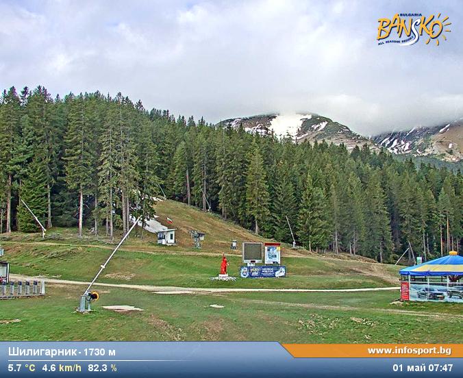
Webcams near Pirin peak


History around Pirin peak
Towns near Pirin peak
- Blagoevgrad25 km away
- Sandanski31 km away
- Delcevo45 km away
- Gotse Delchev48 km away
- Dupnitsa49 km away
- Petrich50 km away