Mountains in Austria
Schoberstein
1,037 m3,402 ft
Mountain · Höllengebirge · Austria
Der Schoberstein ist ein 1037 m ü. A. hoher Berg im Höllengebirge, vielmehr eine Graterhebung im Kammverlauf von Weißenbach am Attersee, Ortsteil der Gemeinde Steinbach am Attersee, zur Brennerin. Vom Gipfel hat man einen schönen Ausblick auf den Attersee und den Schafberg; auch der Mondsee ist teilweise zu sehen.
From German Wikipedia, CC BY-SA · Read the article
At the summit · forecast for 12:00 AM
0 °CMostly clear · wind 4 km/h from the S
 See it in 3D
Weather at the summit of Schoberstein, 1,037 m
- 12:00 AM0 °CS 4 km/h–
- 3:00 AM-0 °CS 5 km/h–
- 6:00 AM3 °CS 6 km/h–
- 9:00 AM6 °CS 5 km/h–
- 12:00 PM12 °CSE 4 km/h–
- 3:00 PM12 °CNE 7 km/h–
- 6:00 PM7 °CSE 3 km/h–
- 9:00 PM5 °CS 6 km/h–
| Day | Sky | High / low | Rain | Wind up to |
|---|---|---|---|---|
| Today | Clear | 13 °C / -0 °C | – | 8 km/h |
| Wed, Oct 28 | Rain | 10 °C / 3 °C | 8.4 mm | 16 km/h |
| Thu, Oct 29 | Cloudy | 8 °C / 4 °C | 2.4 mm | 9 km/h |
| Fri, Oct 30 | Clear | 9 °C / 1 °C | – | 6 km/h |
| Sat, Oct 31 | Mostly clear | 7 °C / 0 °C | – | 7 km/h |
| Sun, Nov 1 | Partly cloudy | 6 °C / 0 °C | – | 6 km/h |
| Mon, Nov 2 | Partly cloudy | 5 °C / -1 °C | – | 6 km/h |
Forecast by MET Norway (CC BY 4.0), updated 08:17 PM GMT+1. Times are local.
Facts
- What it is
- Mountain
- Height above sea level
- 1,037 m (3,402 ft)
- Range
- Höllengebirge
- Country
- Austria
- Coordinates
- 47.800°N 13.552°E
- Source
- Wikidata, CC0
Peaks near Schoberstein
- Brunnkogel1,708 m · 6.6 km awayOn the map
- Schafberg1,782 m · 9.2 km awayOn the map
- Gamsfeld2,027 m · 20 km awayOn the map
- Loser1,837 m · 23 km awayOn the map
- Traunstein1,691 m · 23 km awayOn the map
- Gaisberg1,287 m · 33 km awayOn the map
- Bischofsmütze2,458 m · 34 km awayOn the map
- Rotgschirr2,270 m · 35 km awayOn the map
- Gjaidstein2,794 m · 36 km awayOn the map
- Hoher Dachstein2,995 m · 36 km awayOn the map
Highest in the Höllengebirge
- Großer Höllkogel1,862 mOn the map
- Wimmersberg1,243 mOn the map
- Goffeck1,101 mOn the map
- Hohe Rehstatt1,038 mOn the map
- Schoberstein1,037 mOn the map
Highest mountains in Austria
- Grossglockner3,798 mOn the map
- Wildspitze3,768 mOn the map
- Weißkugel3,738 mOn the map
- Großvenediger3,657 mOn the map
- Hintere Schwärze3,624 mOn the map
- Großes Wiesbachhorn3,564 mOn the map
- Ramolkogel3,549 mOn the map
- Schalfkogel3,537 mOn the map
- Watzespitze3,532 mOn the map
- Fineilspitze3,514 mOn the map
Webcams near Schoberstein
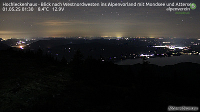 Hochleckenhaus - Blick nach Westnordwesten ins Alpenvorland mit Mondsee und Attersee5.1 km from the summit
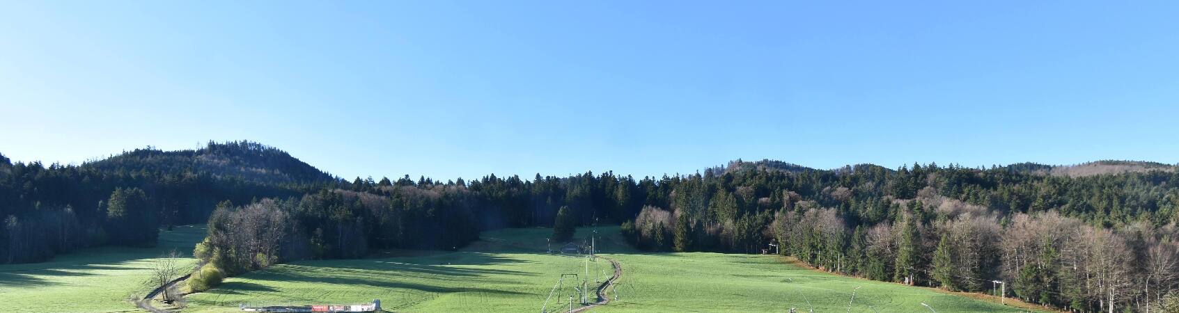 Oberwang - Skigebiet Oberaschau7.2 km from the summit
 St. Wolfgang - Schafbergspitze9.4 km from the summit
A01, zwischen Oberwang und Raststation Mondsee, Blickrichtung Salzburg - Km 255,299.7 km from the summit
Towns near Schoberstein
- Salzburg38 km away
- Freilassing43 km away
- Bad Reichenhall51 km away
- Wels54 km away
- Saalfelden am Steinernen Meer67 km away
- Burghausen68 km away